Dragomer - Liparjev grič (via Lukovica)
Starting point: Dragomer (297 m)
| Lat/Lon: | 46,0181°N 14,3868°E |
| |
Name of path: via Lukovica
Time of walking: 20 min
Difficulty: easy marked way
Altitude difference: 77 m
Altitude difference po putu: 77 m
Map: Ljubljana - okolica 1:50.000
Recommended equipment (summer):
Recommended equipment (winter):
Views: 248
 | 2 people like this post |
Access to the starting point:
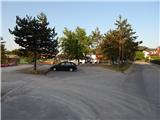
From the motorway Ljubljana - Koper, take the exit Brezovica, then continue along the parallel old road towards Vrhnika. After 4. 5 km of driving, from the point where we left the old road, turn right at the traffic lights towards the centre of Dragomera. As soon as we leave the main road, there is a marked path to the right, initially the road to Debele hill. Park somewhere in Dragomer, preferably near the sports ground.
Path description:
From the starting point, continue to the semaphorised crossroads and then along the pavement towards Ljubljana. Shortly afterwards there are two crossroads, first a slight left turn, then a sharp left onto the steep logging trail. Continue along it across the meadow into the woods. You will reach an unmarked crossroads. Both paths lead to the summit. If you turn left, you will reach another crossroads shortly afterwards. There are signposts for Pentljo at the crossroads.
Continue to the right and when the path turns from the forest to the meadow, turn right onto the trackless path and in a few steps you will be on the grassy top of Lipar Hill.
The description refers to the situation in May 2021.
Pictures:
 1
1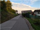 2
2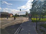 3
3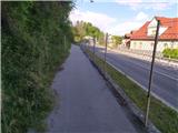 4
4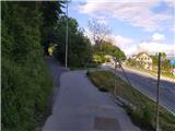 5
5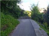 6
6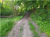 7
7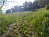 8
8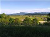 9
9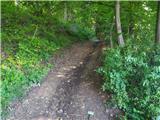 10
10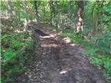 11
11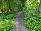 12
12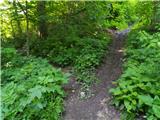 13
13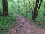 14
14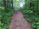 15
15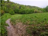 16
16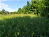 17
17
Discussion about the trail Dragomer - Liparjev grič (via Lukovica)