Dravograd - Dom na Košenjaku
Starting point: Dravograd (362 m)
| Lat/Lon: | 46,5891°N 15,0234°E |
| |
Time of walking: 2 h 30 min
Difficulty: easy marked way
Altitude difference: 807 m
Altitude difference po putu: 807 m
Map: Koroška, izletniška karta 1:50.000
Recommended equipment (summer):
Recommended equipment (winter):
Views: 5.203
 | 1 person likes this post |
Access to the starting point:
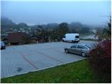
From the motorway Ljubljana - Maribor take the exit Žalec, then continue in the direction of Velenje, Mislinje, Slovenj Gradec and Dravograd. After crossing the bridge over the Drava River in Dravograd, turn left and park in one of the marked car parks in the centre of Dravograd.
From Maribor, you can also reach Dravograd by a road that winds through the Drava valley.
Path description:
From the Dravograd centre, continue along the main road towards Austria, and after a few 10 metres you will see signs for Ojstrica, which direct you sharp right onto the ascending and further asphalted road. Just a little further on, the marked path splits into two parts. We continue on the right path (the left one leads to Huhnerkogel via Goriški Vrh), which continues along the road, which leads us past a number of houses. A few minutes higher up, we come to a small crossroads where another path to Goriški Vrh branches off to the left (the two soon merge), and we continue on the right path again. We continue along the ascending road for a while, and then just a few 10 metres after the road makes a sharp right turn, we see a mountain direction sign for Huhnerkogel, which directs us to the left on the steep and at first quite rugged cart track. We continue climbing for some time along the above-mentioned cart track, then it turns into a briefly overgrown path, which we quickly follow out of the wods onto a hayfield. Cross the hay meadow and return to the wods past the hunting observation post, where you will again cross a short overgrown section, and then walk along the increasingly wider cart track to the nearby road. Follow the dirt road to a small crossroads, or to the edge of the forest, where signs direct you left onto a faintly visible path that continues along a fenced pasture. At the edge of the pasture, we climb to the main road leading to the Church of St John the Baptist on Ojstrica, and we follow it to the left, where it leads us over a scenic slope (a nice view towards Pec). We continue along the road for a while, and then the signs direct us to the right to cart track, which takes us out of the forest and onto the viewing slope in 10 steps. Once out of the wods, continue left along the marked path, which immediately returns to the lane of the wods, through which you climb to the next pastures. Here, continue left and in a few minutes you will reach the Church of St John the Baptist on Ojstrica.
From the church, continue along the asphalted road towards Huhnerkogel. On the other side of the view pastures, you reach the next crossroads, where you continue straight ahead (right St. Urban) on a road that has lost its asphalt surface. The climb then continues for some time on a winding road, partly through the wods and partly across the grassy slopes. After about 40 minutes' walk from the Church of St John the Baptist, you will see the mountain lodge at Huhnerkogel on your right, which is only a short climb over a grassy slope away.

Pictures:
 1
1 2
2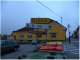 3
3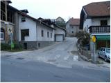 4
4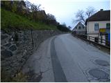 5
5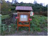 6
6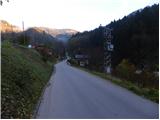 7
7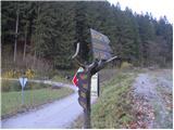 8
8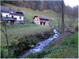 9
9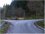 10
10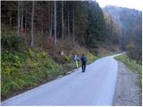 11
11 12
12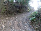 13
13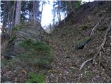 14
14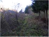 15
15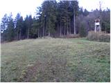 16
16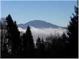 17
17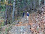 18
18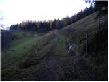 19
19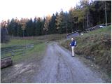 20
20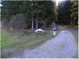 21
21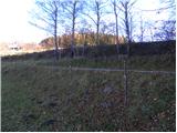 22
22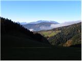 23
23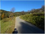 24
24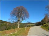 25
25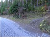 26
26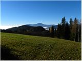 27
27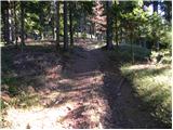 28
28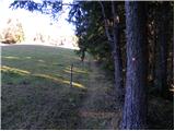 29
29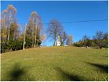 30
30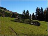 31
31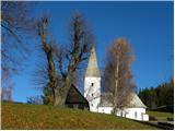 32
32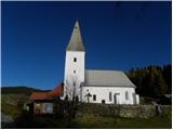 33
33 34
34 35
35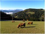 36
36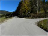 37
37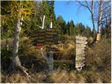 38
38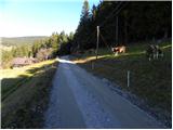 39
39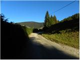 40
40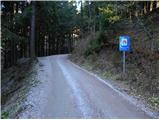 41
41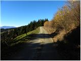 42
42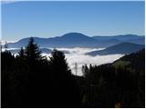 43
43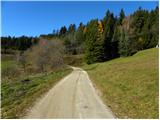 44
44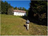 45
45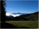 46
46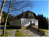 47
47
Discussion about the trail Dravograd - Dom na Košenjaku