Dravograd - Huhnerkogel/Košenjak (via Goriški Vrh)
Starting point: Dravograd (362 m)
| Lat/Lon: | 46,5891°N 15,0234°E |
| |
Name of path: via Goriški Vrh
Time of walking: 3 h
Difficulty: easy marked way
Altitude difference: 1160 m
Altitude difference po putu: 1160 m
Map: Koroška, izletniška karta 1:50.000
Recommended equipment (summer):
Recommended equipment (winter):
Views: 19.501
 | 1 person likes this post |
Access to the starting point:
From the motorway Ljubljana - Maribor take the exit Žalec, then continue in the direction of Velenje, Mislinje, Slovenj Gradec and Dravograd. After crossing the bridge over the Drava River in Dravograd, turn left and park in one of the marked car parks in the centre of Dravograd.
From Maribor, you can also reach Dravograd by a road that winds through the Drava valley.
Path description:
From the Dravograd centre, continue along the main road towards Austria, and after a few 10 metres you will see signs for Ojstrica, which direct you sharp right onto the ascending and further asphalted road. Just a little further on, the marked path splits into two parts. We continue on the left path (right Huhnerkogel over Ojstrica), which climbs steeply along the backyard of several houses, and then leads us to the road, which we follow briefly to the right. After a short climb, we reach a small crossroads where the signs for Huhnerkogel direct us to a steep and narrow road which, as it climbs higher, loses its asphalt coating. Continue along the dirt road for a short distance, and then the signs direct you to the left on a steep footpath that quickly turns into a lane of a forest. There is a short climb through the wods and then you reach a road which you follow to the remains of a former castle (Castle Dravograd or Traburg in German). Here you continue on the road to the right, which climbs over a grassy slope with a view and then enters the wods, where it climbs moderately for a while. A little higher up, the road leads past the "Judgement Tower" (the tower is less than a minute from the marked path) and beyond it to the next viewpoint.
Continue past a few houses and then turn left along cart track, which climbs along the edge of the hay meadow. At the top of the hay meadow, the path enters the wods and then climbs moderately to occasionally steeply through the wods. At a higher level, cross a forest road and then climb through the forest for some time, ending in a meadow with a view of the clusia meadowsweet, which grows there in spring.
At the upper part of the meadow, signs lead us into the forest again, and we follow the marked path, which crosses a forest road a few more times, to three or four crosses, behind which stands a larger chapel.
We continue along the road for a short distance, and then the signs direct us to a footpath that climbs moderately through the forest. Follow the well-marked path, which crosses various forest roads a few more times higher up, in the direction of Huhnerkogel. Higher up, cart track turns into a slightly steeper footpath, and we follow it to the top of Huhnerkogel, which is reached after a few minutes' further walking.

Pictures:
 1
1 2
2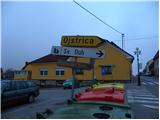 3
3 4
4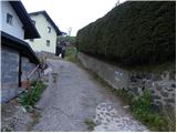 5
5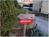 6
6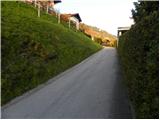 7
7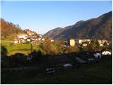 8
8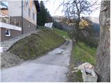 9
9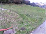 10
10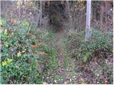 11
11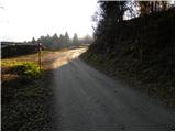 12
12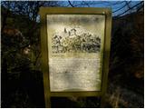 13
13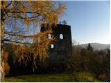 14
14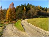 15
15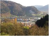 16
16 17
17 18
18 19
19 20
20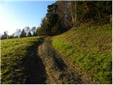 21
21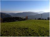 22
22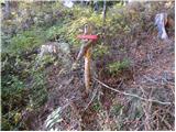 23
23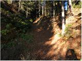 24
24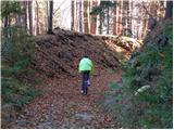 25
25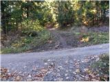 26
26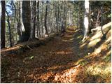 27
27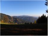 28
28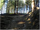 29
29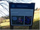 30
30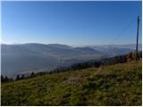 31
31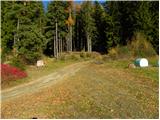 32
32 33
33 34
34 35
35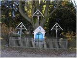 36
36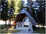 37
37 38
38 39
39 40
40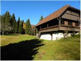 41
41 42
42 43
43 44
44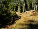 45
45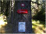 46
46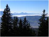 47
47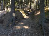 48
48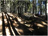 49
49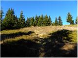 50
50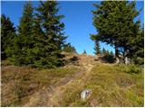 51
51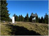 52
52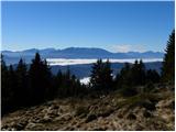 53
53
Discussion about the trail Dravograd - Huhnerkogel/Košenjak (via Goriški Vrh)
|
| Marx10. 07. 2011 |
Zelo zanimliva pot , precejšna višinska razlika , razgledi čudovit.
Šel sam prvič in sam dvakrat zgrešil prave poti. Markacije so komaj za prolazno oceno...
|
|
|
|
| JohnyR20. 09. 2011 |
Lepa pot, večina po gozdnih poteh, nekaj po makadamih. Enakomeren naklon večino poti. Mi smo štartali kar pri Lovskem domu. Ker ne maramo hoditi po mestu. V domu je ponudba hrane skoraj neobstoječa, zato je potrebno sam poskrbeti za prigrizke.  Res je da so markacije slabe, tudi mi smo enkrat zgrešili, in hodili kakih 500 m po hosti preden smo prišli nazaj na pot. GPS sled: http://www.sports-tracker.com/#/workout/IvanMarkovic/c1uou7ntsnhan9jv
|
|
|
|
| katja8721. 02. 2012 |
V nedeljo, 19. 2. 2012, smo se odpravili na Košenjak. Vreme je bilo super, na vrhu nas je grel sonček. Snega je ponekod tudi do pol metra. Hodili smo 7 ur, naredili smo krožno turo: Dravograd - Vrh Košenjaka (čez Goriški vrh) - Planinski dom Košenjak - Dravograd (čez Ojstrico. Slike si lahko ogledate na spletni strani Planinskega društva Matica Murska Sobota: http://www.mojalbum.com/pdmaticams/20120219-kosenjak/foto/19447819
|
|
|
|
| _Abuh_7. 02. 2013 |
Aje jutri planinski dom kosenjak odprt ?
|
|
|
|
| Marko8315. 08. 2013 |
Zdravo. A s kolesom je možno prit gor na vrh?
|
|
|
|
| hipi30. 07. 2018 |
Pot je zdaj vzorno označena, koča pa ena slabših...
|
|
|
|
| Petra Osterman1. 11. 2018 |
Na poti je kar nekaj podrtega drevja, vendar se pride čez. Koča je bila kljub prazniku zaprta  .
|
|
|
|
| bo_zl30. 05. 2020 |
Super markirano, transferzalnega žiga na vrhu ni, samo oznaka 3 koroške planinske poti. Tudi pri domu ni žiga, samo držalo od žiga. In ja dom danes še zaprt.
|
|
|
|
| bo_zl30. 05. 2020 |
Super markirano, transferzalnega žiga na vrhu ni, samo oznaka 3 koroške planinske poti. Tudi pri domu ni žiga, samo držalo od žiga. In ja dom danes še zaprt.
|
|
|
|
| NeH5. 04. 2021 18:07:48 |
Pot je zelo lepa, mirna in sedaj je na vrhu tudi žig od transverzale.
|
|
|