Drežnica - Krn (south way)
Starting point: Drežnica (553 m)
| Lat/Lon: | 46,2555°N 13,617°E |
| |
Name of path: south way
Time of walking: 4 h 45 min
Difficulty: easy marked way
Altitude difference: 1691 m
Altitude difference po putu: 1691 m
Map: Julijske Alpe - zahodni del 1:50.000
Recommended equipment (summer):
Recommended equipment (winter): ice axe, crampons
Views: 46.837
 | 2 people like this post |
Access to the starting point:
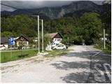
From Tolmin or Bovec, take the road to Kobarid, and from there follow the road towards Drežnica (the road branches off from the Kobarid bypass). Continue over the bridge over the Soča River and immediately after the bridge turn left in the direction of Drežnica. Follow this mostly ascending road to the centre of Drežnica, where turn right and continue to the primary school, which is the starting point of our route.
Path description:
From the parking lot, head past the chapel and the primary school on the marked path to Krn. The trail continues through the forest and then along the pasture to the Triglav National Park sign. Here we join the road (the road from Drežnica) and we continue on the marked trail, which crosses the Ročica stream a little higher, and we arrive at a marked crossroads, where we continue to the right in the direction of the easier trail to Krn (on the left the bivouac and a very difficult trail to Krn).
The way forward passes through the forest and is well marked throughout. Higher up, the unmarked path from Podbrdo joins us from the right, and we continue to the left here and gradually start climbing in the keys. We climb relatively steeply for a while, then reach a small clearing where a hunting lodge stands.
From the hunting lodge onwards, the path begins to climb under the slopes of Kožljak (1587 m) and soon turns slightly to the left. Higher up, the path leads us out of the forest and beautiful views of Drežnica and Krasji vrh (1773 m) open up. Further on, the path crosses quite steep slopes for some time, then turns slightly to the right and joins the path with mountain pasture Kuhinja.
Here, continue left in the direction of Krno and follow the old military causeway, which climbs in switchbacks along an indistinct ridge. The very scenic route, which continues along the edge of the vast grassy slopes of the Krno, is getting closer and closer to the Gomišček shelter, which has been visible for some time. The higher grassy slope is gradually replaced by stones, and the moderately steep path only leads us to the aforementioned shelter, where we are joined on the left by the path of Silva Koren.
From the shelter, continue in the direction of Krno, which is reached after about 10 minutes of further walking.

Pictures:
 1
1 2
2 3
3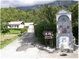 4
4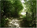 5
5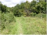 6
6 7
7 8
8 9
9 10
10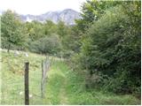 11
11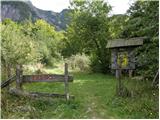 12
12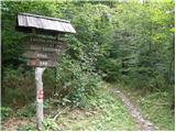 13
13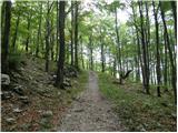 14
14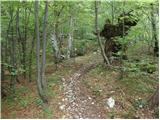 15
15 16
16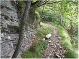 17
17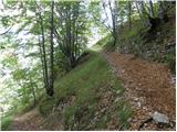 18
18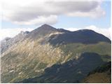 19
19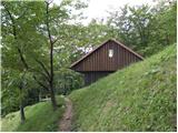 20
20 21
21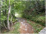 22
22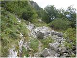 23
23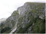 24
24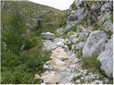 25
25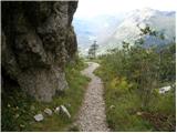 26
26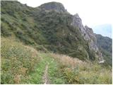 27
27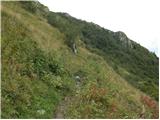 28
28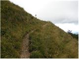 29
29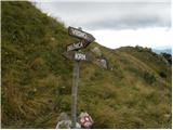 30
30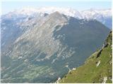 31
31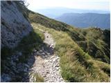 32
32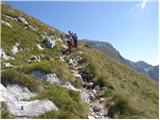 33
33 34
34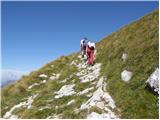 35
35 36
36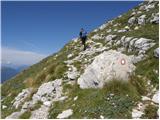 37
37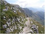 38
38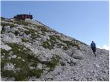 39
39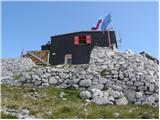 40
40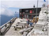 41
41 42
42 43
43 44
44 45
45
Discussion about the trail Drežnica - Krn (south way)
|
| Matjaz_656. 08. 2012 |
nekaj fotk z vzpona po s. korena in spustom po južni poti 
|
|
|
|
| malihodec28. 04. 2013 |
Ali mi lahko, lepo prosim, kdo sporoči, kakšne so razmere na poti iz Drežnice na Krn - po južni, lažji poti. Koliko je še snega?
|
|
|
|
| IgorZlodej29. 04. 2013 |
Poglej pod forum - razmere, saj je vse opisano.
|
|
|
|
| darinka431. 05. 2021 22:05:17 |
Prvikrat sem šla po tej poti v smeri vzpona. Včeraj. Pot niti ni kratka. Senčnata . Večinoma po gozdu. Mislim da redkokoga srečaš. Midva z Maksijem sva ob sestopu le lovca ki je ravno prišel k lovski koči. Je v redu označena. Vsaj jaz nisem imela težav.
|
|
|
|
| winni4. 06. 2021 14:09:42 |
Tudi jaz prvič po tej poti, izredno lepa pot, ki se dviguje v ključih po stari vojaški mulatjeri. Jo bom z veseljem še kdaj ponovil, tudi dostop do Drežnice je veliko lepši kot do vasi Krn. Prva polovica poti poteka po gozdu, zato je zelo primerna za tiste, ki niste od zgodnjega vstajanja  Na tabli v Drežnici piše 4 ure, kar je zelo realna dolžina. Lepo označena.
|
|
|