Starting point: Drnulk (761 m)
| Lat/Lon: | 46,06707°N 13,8088°E |
| |
Time of walking: 1 h 20 min
Difficulty: easy marked way
Altitude difference: 102 m
Altitude difference po putu: 175 m
Map: Goriška 1:50.000
Recommended equipment (summer):
Recommended equipment (winter): ice axe, crampons
Views: 7.784
 | 1 person likes this post |
Access to the starting point:
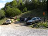
a) First drive to Idrija, then continue to Tolmin. When you arrive in Dolenja Trebuša, leave the main road and drive left towards Čepovan. At the next crossroads, where the road to Oblakov Vrh turns left, turn right and continue past the church to Dolenja Trebuša. A little higher up, the road splits in two again. This time continue slightly right (slightly left Gorenja Trebuša), cross the Trebuščica River and start climbing steeply towards the Drnulk Pass. After the pass, the dirt road starts to descend and after a few 10 m of further driving leads us to a small crossroads at which we park. At the starting point there are signs for Vrše and Skopica. From the Podkorito Inn in Dolenja Trebuša to the starting point is about 8. 5 km drive.
b) From Most na Soči or Podbrdo, drive to Bača pri Modreju, then continue to Station and then on to Čepovan. The road, initially quite steep, climbs higher and leads down to Čepovan. Here the road continues for some time without any major changes in elevation, and then, before we reach the centre of the town, it leads us to a crossroads where the road to the left branches off towards the Drnulk Pass and Dolenjji Trebusa. Continue towards the Drnulk Pass and follow the road for about 2 km, or until the crossroads where the forest road branches off to the left, towards the Vrše pasture. Park in a suitable place at the crossroads. From the Station to the starting point is about 14 km.
c) First drive to Nova Gorica or Solkan, then continue to Lokva, Grgarje, Čepovan and Sveta Gora. Just above the quarry, you will reach a crossroads, from where you continue driving towards Grgar and Čepovan. The road then leads down to Čepovan, through which it continues to climb gently to moderately. A little further on we reach the centre of Čepovan, and we follow the road down through Čepovan only as far as the next crossroads. At the crossroads, continue right towards Drnulk Pass and Dolenja Trebuša and follow the road for about 2 km, or until a junction where a minor forest road branches off to the left towards the Vrše pasture. Park in a suitable place at the crossroads. From Solkan to the starting point is about 20 km. d) From the route of Ajdovščina, first drive to Predmeja, then continue to Lokve and then Čepovan. From Lokvi the road starts to descend steeply towards Čepovan. At Čepovan turn right and then right again at the end of the condensed part of the town, this time in the direction of Drnulk Pass and Dolenje Trebuše. Continue towards the Drnulk Pass and follow the road for about 2 km, or until a crossroads where a worse forest road branches off to the left towards the Vrše pasture. Park in a suitable place at the crossroads. From Predmeja to the starting point is approximately 19 km.
Path description:
From the crossroads near the Drnulk Pass, take the worse forest road in the direction of Veliki and Male Vrše and Skopice. The road soon climbs steeply and leads into the forest. Higher up, the road is laid, and the path leads us out of the forest to the vast and sometimes scenic pastures of Veliki Vrš. At the crossroads, where the road turns right, continue left in the direction of the SVPB (Slovene Military Partisan Hospital Pavla) and Mali Vrš. Continue along the gradually deteriorating cart track, which finally ends at the nearby ruins of a former residential house. The way ahead leads past a beech tree grove to a large meadow with a view, at the end of which turn slightly left.
Further on, we cross a pasture fence, and the path leads us into the woods, where we see the first markings (the path has so far only been marked, but not marked). As you enter the forest, the path goes from a small plateau to the slopes and continues across to the right. There are a few short ascents and descents, and then you reach the ruins of the former partisan hospital Pavle. Here, at a small crossroads, continue to the right and after a few 10 metres reach an information board and the nearby NOB monument.
Just a little further on from the information board, you will come out on a newer forest road, and we will follow it to the right. The path ahead leads us past a meadow with a hunting observation post, and after a further walk of a few 10 m we arrive at a small pass where the path to the right branches off to the top of Skopice. Continue along the mountain path, which leads to a scenic peak within 2 minutes of further walking.
From the top, you can descend along the ridge to a nearby lookout point, which offers a beautiful view of the valley.

Pictures:
 1
1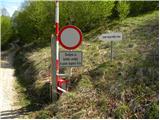 2
2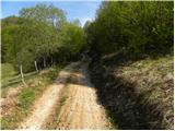 3
3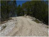 4
4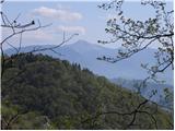 5
5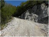 6
6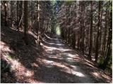 7
7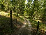 8
8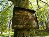 9
9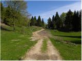 10
10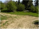 11
11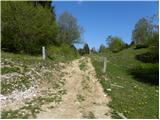 12
12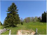 13
13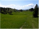 14
14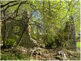 15
15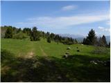 16
16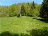 17
17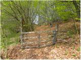 18
18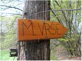 19
19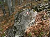 20
20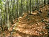 21
21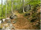 22
22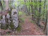 23
23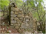 24
24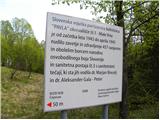 25
25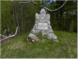 26
26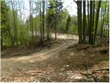 27
27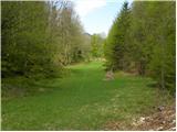 28
28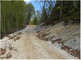 29
29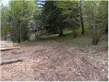 30
30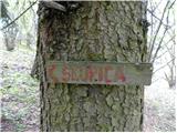 31
31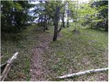 32
32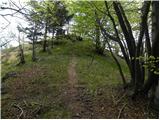 33
33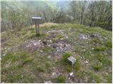 34
34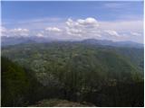 35
35
Discussion about the trail Drnulk - Vrh Skopice
|
| suzys17. 07. 2016 |
Zelo lep popoldanski izlet. Razgledni pašniki na Vešah in pogledi na gore v daljavi.
|
|
|