Dubrovnik (Nuncijata) - Srđ (past Strinčjera)
Starting point: Dubrovnik (Nuncijata) (138 m)
| Lat/Lon: | 42,66377°N 18,08937°E |
| |
Name of path: past Strinčjera
Time of walking: 1 h 15 min
Difficulty: easy marked way
Altitude difference: 277 m
Altitude difference po putu: 310 m
Map: Turistična karta Dubrovnika
Recommended equipment (summer):
Recommended equipment (winter):
Views: 294
 | 2 people like this post |
Access to the starting point:
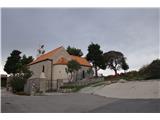
Follow the Adriatic Highway from the Franja Tuđman Bridge towards Dubrovnik, turning left 1 km after the bridge (before the monument). Follow the road straight up to the church, where you park.
Path description:
At the parking lot, start your journey past the barrier by the church fence. After a few metres, you will see the start of a marked trail on the right (marker on a stone).
The path is a bit overgrown at the beginning, but easy to follow.
Higher up, we get a nice view of the city of Dubrovnik and the nearby islands.
As the path flattens out, you reach an indistinct crossroads, where a more sloping path leads straight ahead, but a marker points to the left (an unmarked path also leads straight to the top).
From the crossroads, go gently upwards towards the forest, which briefly offers shade on hot sunny days.
Once out of the forest, follow the gently sloping path which leads to a macadam road.
Continue along the road to the right (to the left, the road leads to the memorial to the fallen fighters and on to the remains of the Strinčjere fortress).
Follow the dirt road straight ahead towards the transmitter at the following junctions.
Near the transmitter, the dirt road joins the asphalt road. Before the transmitter and the walls, go right and then up the stairs to the top of Srđ.
Once again, a beautiful view opens up on all sides.

Pictures:
 1
1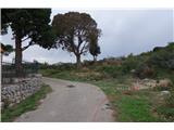 2
2 3
3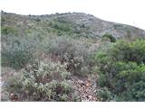 4
4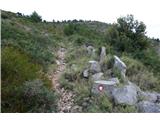 5
5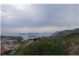 6
6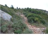 7
7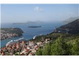 8
8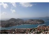 9
9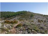 10
10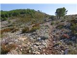 11
11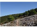 12
12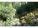 13
13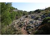 14
14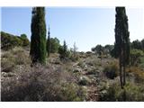 15
15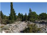 16
16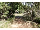 17
17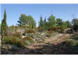 18
18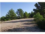 19
19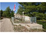 20
20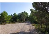 21
21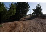 22
22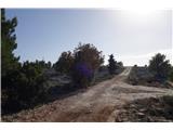 23
23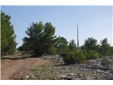 24
24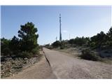 25
25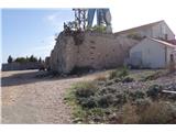 26
26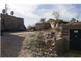 27
27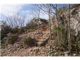 28
28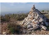 29
29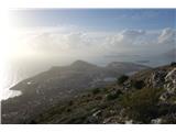 30
30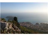 31
31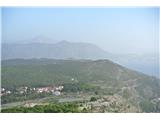 32
32 33
33
Discussion about the trail Dubrovnik (Nuncijata) - Srđ (past Strinčjera)