Dvorec Rakičan - Gravel pit Vučja jama (via chapel)
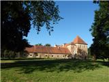
Starting point: Dvorec Rakičan (186 m)
| Lat/Lon: | 46,64606°N 16,19482°E |
| |
Name of path: via chapel
Time of walking: 40 min
Difficulty: easy unmarked way
Altitude difference: -7 m
Altitude difference po putu: -7 m
Map: Pomurje 1:40.000
Recommended equipment (summer):
Recommended equipment (winter):
Views: 138
 | 1 person likes this post |
Access to the starting point:
Leave the Pomurje motorway at exit Lipovci, then follow signs for Murska Sobota - East. When you arrive in Rakičan, turn left towards Rakičan Manor House, where you can park in a suitable place.
Path description:
From the parking lot, return to the main road, cross it carefully (it is even safer to do so at the pedestrian crossing about 500 metres away - the crossing is in the direction of the hospital), and then turn right.
The way ahead is along a narrower tarmac road that runs between the fields on the left and the main road on the right. Continue past the chapel, and at a small crossroads go straight ahead (eastern part of Rakičan on the left). As you approach the motorway, turn left onto the field path, which soon turns right, and then a few minutes further on brings you to a crossroads by an underpass. Continue through the underpass under the motorway, and on the other side of the motorway go immediately left. About 50 m further on, the road forks and we go slightly right, gradually moving away from the motorway. Just a little further on, you reach the next crossroads, where you continue straight ahead, then continue between the fields to the parking area by the Vučja jama gravel pit.
Go left here and in a few steps you will reach the lake.
Description and pictures refer to June 2021.

Pictures:
 1
1 2
2 3
3 4
4 5
5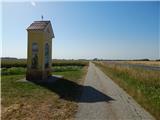 6
6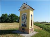 7
7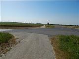 8
8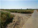 9
9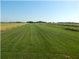 10
10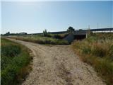 11
11 12
12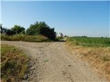 13
13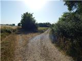 14
14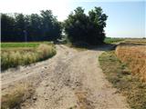 15
15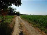 16
16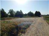 17
17 18
18
Discussion about the trail Dvorec Rakičan - Gravel pit Vučja jama (via chapel)