End of road below Struška (Strmela) - Planina Seča
Starting point: End of road below Struška (Strmela) (1270 m)
| Lat/Lon: | 46,465°N 14,1071°E |
| |
Time of walking: 1 h 15 min
Difficulty: partly demanding unmarked way
Altitude difference: 428 m
Altitude difference po putu: 428 m
Map: Karavanke 1:50.000
Recommended equipment (summer): helmet
Recommended equipment (winter): helmet, ice axe, crampons
Views: 7.014
 | 3 people like this post |
Access to the starting point:
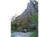
From the motorway Ljubljana - Jesenice take the exit Lipce and turn right towards Jesenice. In the village of Javornik, at the first semaphorised junction, turn right (direction Lj. ) towards Koroška Bela. At the next traffic-light junction turn left, and soon turn left again towards Javornik Rovto. After a few kilometres of uphill driving (when we have already arrived in the village), the road leads us past the Pristava home (the last bus stop), and after the home we come to the next small crossroads, where we turn slightly right. Continue for about 3 km on the winding macadam road, then at a sharp left turn (near Križovec) you will come to a fork in the road to the right, where you will turn right and after 5 minutes of further driving you will reach the end of the forest road, where there is a parking lot.
Path description:
The footpath continues in the same direction as the one we took a short while earlier. When you get on it, it first climbs a little, then you see a crossroads, but it doesn't matter how you choose. If you go to the right, for example, you will immediately come across a tunnel on the left, where ore was once mined, and when you continue, you will join a left-hand, - cart track-like path, which you can follow through the forest, still heading east. After a while, we come to a less noticeable crossroads, which we recognise by a dry, cross-lying trunk, over (past) which we take the upper - left path, which, passing a nearby creche (between two spruce trees), soon leads us out of the forest under beautiful and interesting cliffs. The path then crosses a short scree slope, on the other side of which we meet a stand with a metal info board with descriptions of the mountains and targets on the horizon. As we continue, the path becomes slightly more exposed, and on the left we are twice helped by a few metres of rope. A short scree slope follows again, after which you briefly enter the forest again. Soon, on a slight downhill, we join the marked path coming from Dom Trilobit.
Continue left along the path through a partly sparse mixed forest towards mountain pasture Seča. Soon, as the path begins to turn into the lane of dwarf pines, the Rida amphitheatre can be seen on the right, and in a few further bends the path reaches the mountain pasture of Seča, the start of which can be identified by direction signs on the trees. Turn left, passing the ruins of a former caravan, to reach the border saddle with a hunting lodge.

Pictures:
 1
1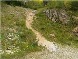 2
2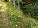 3
3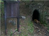 4
4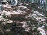 5
5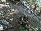 6
6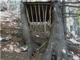 7
7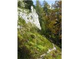 8
8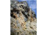 9
9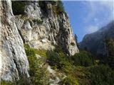 10
10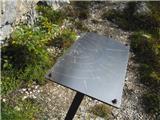 11
11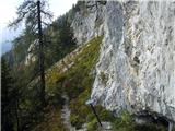 12
12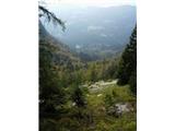 13
13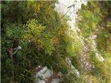 14
14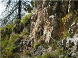 15
15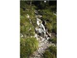 16
16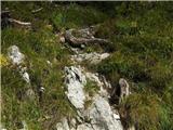 17
17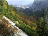 18
18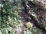 19
19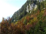 20
20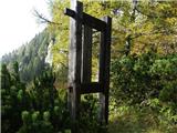 21
21 22
22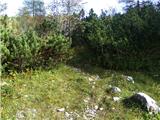 23
23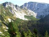 24
24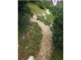 25
25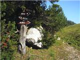 26
26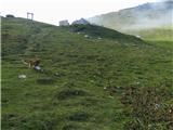 27
27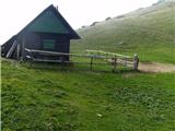 28
28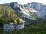 29
29
Discussion about the trail End of road below Struška (Strmela) - Planina Seča
|
| marezt1. 06. 2012 |
Pravkar prišel domov iz tega izleta. Zelo lepa pot, ki sem si jo podaljšal še do Belske planine in se nato od tam spustil nazaj do izhodišča.
Eno vprašanje - Na sliki št.6 je razpotje, ali spodnja pot pelje do Doma Trilobit ali kam drugam?
|
|
|
|
| heinz1. 06. 2012 |
Spodnja pot na 6. sliki se spusti na tisto, ki prihaja od omenjenega Doma.
|
|
|
|
| mili9. 08. 2018 |
Zanima me, če je kdo v zadnjem času hodil po tej poti. Ali je na poti kaj podrtega drevja?
|
|
|
|
| nina49. 08. 2018 |
Bila sem junija. Pot je normalno prehodna.
|
|
|
|
| tango12. 04. 2025 10:26:06 |
Včeraj vsa naredila prav čudovito krožno turo. Avto sva sicer pustila na ovinku kjer je odcep za Križovec potem pa po opisani poti na Sečo. Pot je brez posebnosti, malo snega se začne pri odcepu za Konjske peči, a ne povzroča težav. Seča še vsa zasnežena, razgledi proti Julijcem in Vajnežu, Stolu, amfiteatru Rida pa dih jemajoči. Proti Belski planini je pot vseskozi zasnežena, malo pazljivosti je potrebo takoj za planino , kjer je običajen plaz preko poti. Belska in razgledi pa za na razglednice, potem pa na poti proti Pustemu rovtu vse do prve rampe lepo po snegu. Super izlet in kljub čudovitemu vremenu, malce vetra, nisva srečala nikogar.
|
|
|