End of road on Pokljuka - Prevalski Stog
Starting point: End of road on Pokljuka (1340 m)
| Lat/Lon: | 46,3386°N 13,9045°E |
| |
Time of walking: 5 h
Difficulty: partly demanding unmarked way
Altitude difference: 735 m
Altitude difference po putu: 1050 m
Map: Triglav 1:25.000
Recommended equipment (summer): helmet
Recommended equipment (winter): helmet, ice axe, crampons
Views: 4.520
 | 2 people like this post |
Access to the starting point:
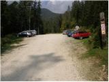
a) Leave the Gorenjska motorway at the exit for Lesce, then follow the signs for Bled and Pokljuka. Continue through Gorje and past the ski resort Zatrnik to Rudni Polje on Pokljuka, where there is a large pay parking lot and a military barracks and shooting range nearby. From here, continue straight along the macadam road, which leads us a little further to a crossroads, where we continue to the right (Uskovnica on the left). Follow this road to the former parking lot Za Ribnico, which is at the end of the road (there are mountain signs for mountain pasture Konjščico).
After the new parking at the end of the road is forbidden, so we park already at Rudne polje, which lengthens the route by about 40 minutes, but it is more convenient to choose the marked trail, which starts already at Rudne polje.
b) From Železniki or Podbrdo, take the road to Bohinjska Bistrica and then continue in the direction of Bled. Shortly after the Petrol station, which is located just after Bohinjska Bistrica, turn left in the direction of Pokljuka and Jereka. The road climbs steeply at first, then gradually flattens out behind Koriti, leading to a junction by the bus station, where you continue right in the direction of Pokljuka, Koprivnik and Jereka (straight ahead Srednja vas). Just after the crossroads we arrive at Jereka, and from the crossroads in front of the church we continue straight on towards Pokljuka (left Podjelje). After Jereka the road starts to climb steeply again, and higher up it levels off and continues along the Mrzle potok. When you join the road from Bled, go left and drive to Rudno Polje, where there is a large pay parking lot, and also a military barracks and a shooting range nearby. From here, continue straight along the macadam road, which leads us a little further to a crossroads, where we continue to the right (Uskovnica on the left). Follow this road to the former parking lot Za Ribnico, which is at the end of the road (there are mountain signs for mountain pasture Konjščico).
After the new parking at the end of the road is forbidden, so we park already at Rudne polje, which lengthens the route by about 40 minutes, but it is more convenient to choose the marked trail, which starts already at Rudne polje.
Path description:
From the former parking lot, continue right up cart track towards mountain pasture Konjščica. Cart track, which climbs steeply at first, soon becomes steep and turns into a footpath a little higher up. A moderate ascent follows, following the path which climbs along the Ribnica stream, which has a waterfall in its upper part, which can be seen from the path. Further on, the path crosses a small spring and passes into the mountain pasture Konjščica grazing area. After a few dozen steps, the path crosses another small spring and ascends gently to the cheese-maker's hut at mountain pasture.
From mountain pasture, continue up the gently sloping meadow slightly to the other side of mountain pasture. There the path becomes dwarf pines and starts to climb, first gently and then steeply. In the last part of the ascent, the path from Rudno Polje joins from the right. There is only a short climb along the torrent to the grassy plain of Jezerce. Here the path turns left and after a few steps leads us into the narrower area of the TNP. Next, we climb along a small spring towards Studorski Preval. A little higher, cross the torrent and the path turns slightly right into the grassy slopes surrounded by dwarf pines. The path then ascends crosswise to Studorski preval, from which a fine view of the Bohinj side opens up.
The path continues, initially descending slightly, then crossing the slopes of Veliki Draški vrh and Tosc with some slight ascents and descents. After a while the path leads us to the grassy southern slope of Tosc. Here, the path to Tosc branches off to the right, and just a few metres further on, the path from Uskovnica joins us from the left. Continue straight ahead, still crossing the slopes of Tosc. The path then crosses a short lane of sparse forest in a slight descent and then leads us to steep slopes. A little further on, the path crosses the precipitous slopes of Tosc in a gentle descent along an artificially created wide ledge. As the path is quite wide it does not cause any problems (caution due to falling rocks, rock fall in 2008). The path then climbs slightly again and leads us to a crossroads where we continue slightly left in the direction of Velo polje (sharp left Voje, straight Vodnikov dom). Pot naprej se prične prečno spuščati proti desni in nas hitro pripelje na neoznačeno razpotje. Nadaljujemo po desni markirani poti (levo lovska koča), ki se kmalu položi, nato pa se nadaljuje v prečenju pobočij pod Vodnikovim domom. Po nekaj minutah pot zavije rahlo v levo ter se prične spuščati proti Malemu in Velemu polju. Po krajšem spustu pridemo na manjši preval med Malo polje na levi in Velo polje na desni. Tu nadaljujemo levo (desno Velo polje) in pot nadaljujemo po markirani poti, ki se hitro spusti na mountain pasture Malo polje. Sledi nekaj minutna hoja po omenjeni mountain pasture, nato pa pot zavije rahlo desno in nas pripelje do presihajočega jezera na mountain pasture pod Mišelj vrhom. Jezerce obidemo po desni strani (rahlo levo Voje), nato pa se v rahlem vzponu povzpnemo do propadajočih pastirskih stanov na mountain pasture pod Mišelj vrhom.
S mountain pasture nadaljujemo desno v smeri Mišeljski preval in mountain pasture v Lazu (naravnost Jezerski preval) po poti, ki na drugi strani mountain pasture zavije v levo. Pot naprej se prične zmerno vzpenjati čez nekaj manjših dolinic, nato pa preide na pobočja Prevalski Stog, kjer se postopoma prične strmeje vzpenjati. Tu opazimo več cairns, ki označujejo začetek nemarkirane stezice v Mišeljsko dolino, mi pa nadaljujemo po markirani poti, ki se obrne še nekoliko bolj v levo. Vse bolj razgledna pot, s katere se nam odpirajo lepi razgledi na Škednjovec, Mišelj vrh, Vernar in Tosc, se višje za kratek čas položi in nas pripelje do manjše vrtače, katero obide po desni strani. Naprej se prečno vzpnemo čez kratko travnato pobočje, nato pa prispemo v bolj kamnit svet, kjer se preko strmega grušča povzpnemo na Mišeljski preval.
S prevala, od katerega se nam odpre lep razgled na Ogradi in Debeli vrh, nadaljujemo levo ter vzpon nadaljujemo po slabše vidni in nemarkirani poti, ki se prične vse strmeje vzpenjati po severozahodnem grebenu Prevalskega Stoga. Greben po katerem hodimo postaja vedno ožji, pot pa vse bolj strma, zato je na tem delu potrebna velika pazljivost, da ne zdrsnemo. Po približno 10 minutah zelo strmega vzpona, se pot položi in do vrha nas loči le še 5 minut lahkotne hoje.

Pictures:
 1
1 2
2 3
3 4
4 5
5 6
6 7
7 8
8 9
9 10
10 11
11 12
12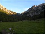 13
13 14
14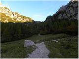 15
15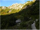 16
16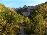 17
17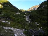 18
18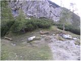 19
19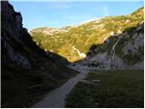 20
20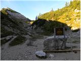 21
21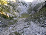 22
22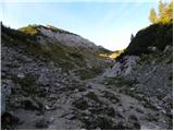 23
23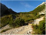 24
24 25
25 26
26 27
27 28
28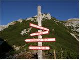 29
29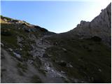 30
30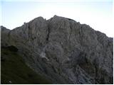 31
31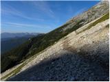 32
32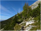 33
33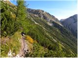 34
34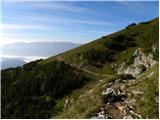 35
35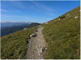 36
36 37
37 38
38 39
39 40
40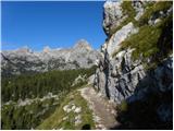 41
41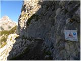 42
42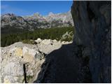 43
43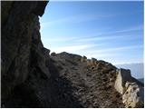 44
44 45
45 46
46 47
47 48
48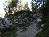 49
49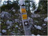 50
50 51
51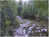 52
52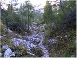 53
53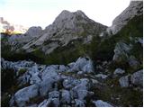 54
54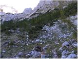 55
55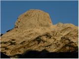 56
56 57
57 58
58 59
59 60
60 61
61 62
62 63
63 64
64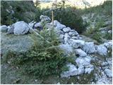 65
65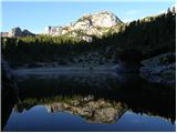 66
66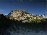 67
67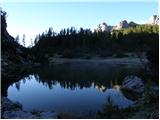 68
68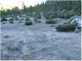 69
69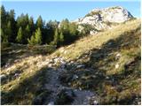 70
70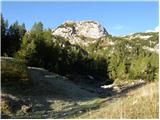 71
71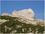 72
72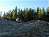 73
73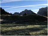 74
74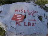 75
75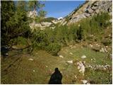 76
76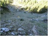 77
77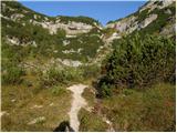 78
78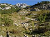 79
79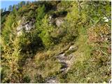 80
80 81
81 82
82 83
83 84
84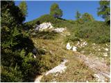 85
85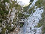 86
86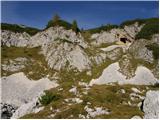 87
87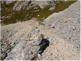 88
88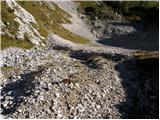 89
89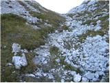 90
90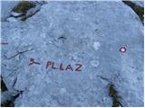 91
91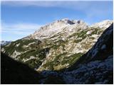 92
92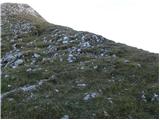 93
93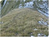 94
94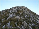 95
95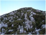 96
96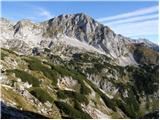 97
97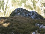 98
98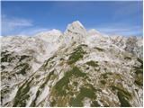 99
99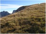 100
100 101
101 102
102 103
103 104
104 105
105 106
106 107
107
Discussion about the trail End of road on Pokljuka - Prevalski Stog