end of road on Pokljuka - Šmarjetna glava
Starting point: end of road on Pokljuka (1340 m)
| Lat/Lon: | 46,3386°N 13,9045°E |
| |
Time of walking: 5 h 40 min
Difficulty: difficult pathless terrain
Altitude difference: 1018 m
Altitude difference po putu: 1315 m
Map: Triglav 1:25.000
Recommended equipment (summer): helmet
Recommended equipment (winter): helmet, ice axe, crampons
Views: 9.023
 | 1 person likes this post |
Access to the starting point:
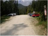
a) Leave the Gorenjska motorway at the exit for Lesce, then follow the signs for Bled and Pokljuka. Continue through Gorje and past the ski resort Zatrnik to Rudni Polje on Pokljuka, where there is a large pay parking lot and a military barracks and shooting range nearby. From here, continue straight along the macadam road, which leads us a little further to a crossroads, where we continue to the right (Uskovnica on the left). Follow this road to the former parking lot Za Ribnico, which is at the end of the road (there are mountain signs for mountain pasture Konjščico).
After the new parking at the end of the road is forbidden, so we park already at Rudne polje, which lengthens the route by about 40 minutes, but it is more convenient to choose the marked trail, which starts already at Rudne polje.
b) From Železniki or Podbrdo, take the road to Bohinjska Bistrica and then continue in the direction of Bled. Shortly after the Petrol station, which is located just after Bohinjska Bistrica, turn left in the direction of Pokljuka and Jereka. The road climbs steeply at first, then gradually flattens out behind Koriti, leading to a junction by the bus station, where you continue right in the direction of Pokljuka, Koprivnik and Jereka (straight ahead Srednja vas). Just after the crossroads we arrive at Jereka, and from the crossroads in front of the church we continue straight on towards Pokljuka (left Podjelje). After Jereka the road starts to climb steeply again, and higher up it levels off and continues along the Mrzle potok. When you join the road from Bled, go left and drive to Rudno Polje, where there is a large pay parking lot, and also a military barracks and a shooting range nearby. From here, continue straight along the macadam road, which leads us a little further to a crossroads, where we continue to the right (Uskovnica on the left). Follow this road to the former parking lot Za Ribnico, which is at the end of the road (there are mountain signs for mountain pasture Konjščico).
After the new parking at the end of the road is forbidden, so we park already at Rudne polje, which lengthens the route by about 40 minutes, but it is more convenient to choose the marked trail, which starts already at Rudne polje.
Path description:
Z nekdanjega parkirišča nadaljujemo desno navzgor po cart track v smeri mountain pasture Konjščica. Cart track, ki se sprva strmo vzpne kmalu postane zložen in se nekoliko višje spremeni v peš pot. Sledi zmeren vzpon po poti, ki se vzpenja ob potoku Ribnica, ki ima v zgornjem delu tudi slap, ki ga lahko vidimo s poti. Naprej pot preči studenček in preide na pašna območja mountain pasture Konjščica. Po nekaj deset korakih pot preči naslednji studenček in se rahlo vzpne do sirarske koče na mountain pasture.
S mountain pasture nadaljujemo po zložnem travniku rahlo navzgor do druge strani mountain pasture. Tam pot preide v dwarf pines in se začne sprva zložno, nato pa vse strmeje vzpenjati. V zadnjem delu vzpona se nam z desne priključi pot z Rudnega polja. Sledi le še kratek vzpon ob hudourniku do travnate ravnice Jezerce. Tu pot zavije levo in nas po nekaj korakih pripelje v ožje območje TNP-ja. Naprej se vzpnemo ob studenčku proti Studorskemu prevalu. Nekoliko višje prečimo hudournik, pot pa se usmeri nekoliko desno v travnata z dwarf pines obdana pobočja. Pot se nato prečno vzpne do Studorski preval, s katerega se nam odpre lep razgled na Bohinjsko stran. Pot naprej se sprva nekoliko spusti, nato pa preči pobočja Veliki Draški vrh in Tosc z nekaj rahlimi vzponi in spusti. Čez čas nas pot pripelje do travnatega južnega pobočja Tosc. Tu se desno odcepi pot na Tosc, le nekaj metrov naprej pa se nam z leve priključi pot z Uskovnice. Nadaljujemo naravnost, pot naprej pa še vedno preči pobočja Tosc. Pot nato v rahlem spustu preči krajši lane redkega gozda nato pa nas pripelje na strma pobočja. Še nekoliko naprej pa pot po umetno narejeni široki polici v rahlem spustu preči prepadna pobočja Tosc. Ker je pot precej široka ne povzroča težav (previdno zaradi padajočega kamenja, skalni podor v letu 2008). Pot se nato ponovno rahlo vzpne in nas pripelje na razpotje, kjer nadaljujemo rahlo levo v smeri Velo polje (ostro levo Voje, naravnost Vodnikov dom). Pot naprej se prične prečno spuščati proti desni in nas hitro pripelje na neoznačeno razpotje. Nadaljujemo po desni markirani poti (levo lovska koča), ki se kmalu položi, nato pa se nadaljuje v prečenju pobočij pod Vodnikovim domom. Po nekaj minutah pot zavije rahlo v levo ter se prične spuščati proti Malemu in Velemu polju. Po krajšem spustu se nam z leve priključi pot iz doline Voje, mi pa nadaljujemo desno ter po nekaj 10 korakih prispemo do pastirskih koč na mountain pasture Velo polje.
From mountain pasture continue slightly right (straight ahead) along a path which crosses the large mountain pasture. On the other side of mountain pasture you come to stone barriers which prevent torrents from filling up this beautiful mountain pasture. Just a few metres before this stone barrier, the path turns slightly left and climbs into a sparse, mostly larch forest. The path then turns slightly more to the left and leads us along gently sloping and slightly overgrown grassy slopes to the aforementioned torrent. The path continues for some time climbing steeply along the torrent, and then climbs steeply under the walls of the Šmarjetna glave. The steepness then quickly subsides and the increasingly rocky path leads us under the walls and scree of the surrounding peaks to the Dolič saddle. Continue straight ahead (Hribarice on the left, Planika on the right) along the path which begins to descend gently towards the Tržaški hut on Dolič.
Shortly before the hut (near the heliport), leave the marked path and head right up the trackless road. Climb up the rocky slope to the ridge from which a view of Šmarjetno glavo opens up. Take the saddle on the left side of Šmarjetna glava
At the saddle, continue right along a steep ridge marked with a few cairns. The ridge becomes a little steeper and a short section requires some easier climbing (1st degree). Just below the summit, where the ridge is steepest, we are directed by cairns to the right and there is a short climb up a slightly exposed and rubbly slope to the summit.

Pictures:
 1
1 2
2 3
3 4
4 5
5 6
6 7
7 8
8 9
9 10
10 11
11 12
12 13
13 14
14 15
15 16
16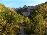 17
17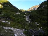 18
18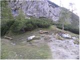 19
19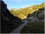 20
20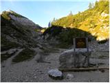 21
21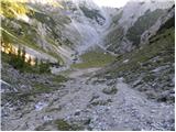 22
22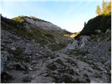 23
23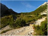 24
24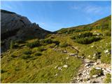 25
25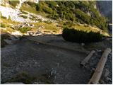 26
26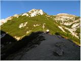 27
27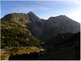 28
28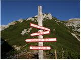 29
29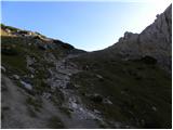 30
30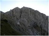 31
31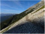 32
32 33
33 34
34 35
35 36
36 37
37 38
38 39
39 40
40 41
41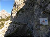 42
42 43
43 44
44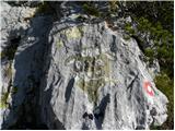 45
45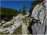 46
46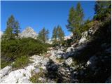 47
47 48
48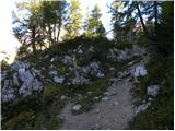 49
49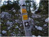 50
50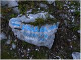 51
51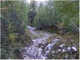 52
52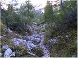 53
53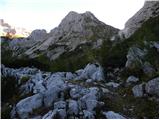 54
54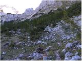 55
55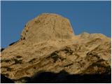 56
56 57
57 58
58 59
59 60
60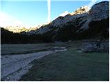 61
61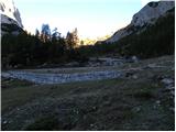 62
62 63
63 64
64 65
65 66
66 67
67 68
68 69
69 70
70 71
71 72
72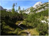 73
73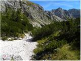 74
74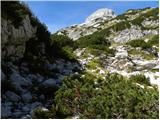 75
75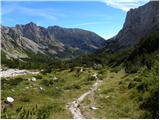 76
76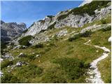 77
77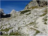 78
78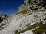 79
79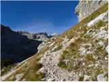 80
80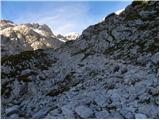 81
81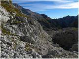 82
82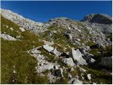 83
83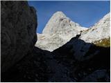 84
84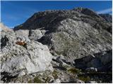 85
85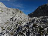 86
86 87
87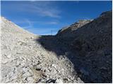 88
88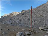 89
89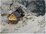 90
90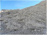 91
91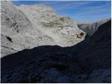 92
92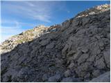 93
93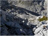 94
94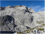 95
95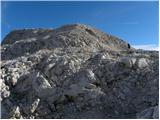 96
96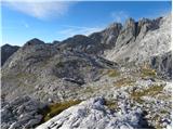 97
97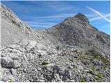 98
98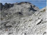 99
99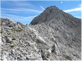 100
100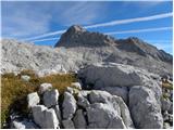 101
101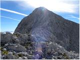 102
102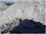 103
103 104
104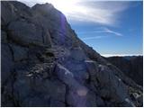 105
105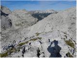 106
106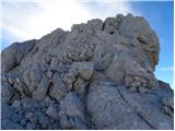 107
107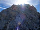 108
108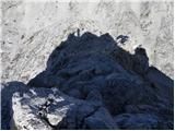 109
109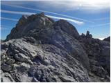 110
110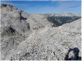 111
111 112
112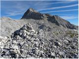 113
113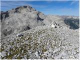 114
114 115
115
Discussion about the trail end of road on Pokljuka - Šmarjetna glava
|
| jprevc13. 11. 2015 |
Helioport, ki je omenjen v opisu poti, se ne vidi s poti. Odcep na neoznačen del poti je takoj pri razpotju - slika 89 - in sicer se začne kakšen meter pred skalo z napisom Planika.
|
|
|
|
| ločanka20. 07. 2018 |
Lepo omožičeno, pod vrhom prijetno poplezavanje (meni to nekaj najboljšega). Najbolje pričeti kar na sedlu Dolič, ni potrebno nobeno spuščanje proti koči  Mihelič v svojem vodniku sicer pravi, da se nanjo vzpenjajo le čudaški ljubitelji brezpotne samote. Od takrat so se časi spremenili, sedaj so taki pravzaprav v modi  
|
|
|
|
| saram20. 09. 2020 |
Včeraj pa nama je uspelo. Poskušala sva že pred dvema lotoma, pa sva vspon prekinila tik pod vrhom. Je tako pihalo, da nisva upala do vrha bila je težka odločitev venadr v takih razmerar edino pravilna, saj naju je vrh počakal do včeraj.Ni nama žal, da sva se ponovno vrnila. Vreme je bilo odlično. Na vrhu sama. Tudi na poti od Vodnikove koče do Doliča srečala le štiri pohodnike. Res so lepi samotni vrhovi, pogledi pa čudoviti.
|
|
|