Erjavčev rovt - Bela peč (above Dovje)
Starting point: Erjavčev rovt (1065 m)
| Lat/Lon: | 46,4792°N 13,9636°E |
| |
Time of walking: 1 h 15 min
Difficulty: easy unmarked way
Altitude difference: 395 m
Altitude difference po putu: 400 m
Map: Kranjska Gora 1:30.000
Recommended equipment (summer):
Recommended equipment (winter): ice axe, crampons
Views: 658
 | 1 person likes this post |
Access to the starting point:
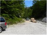
From the Gorenjska motorway, take the exit Jesenice - west and follow the road towards Kranjska Gora. Soon you will see signs for Dovje, which will direct you to the right on the ascending road, which will take you quickly up to the upper part of the village. Through the village, follow the road towards Kepe and Frauenkogel, then come to a slightly larger crossroads where you continue sharp left towards Kepe. Continue along a well-maintained forest road for some time before reaching the next junction. Continue slightly to the right (left Brinje, Rovt Vrse and Požarnica) along the road, which lays slightly further on and then starts to descend towards the confluence of Žaklja and Mlinca (there is also a small artificial lake at the confluence). Park at a suitable place at the confluence, or you can park a little further back at one of the suitable places along the road.
Path description:
From the confluence, first cross the Žakelj stream (not in the direction of Kepe), then continue along the right-hand Mlinca stream. Continue along the macadam road for a short distance, then come to a crossroads where you continue along the abandoned right road (the left road leads to the cottage at Erjavčev rovt). The abandoned right road continues to lead us across the avalanche slope, then passes into the forest and finally ends higher up by the nearby stream. The path continues along the stream bed, and then after about 10 - 15 minutes of further walking, on the left side we see some small cairns, which direct us to the initially quite overgrown and muddy path. After a short climb, we enter a dense forest, where we continue along a less visible but well-traced path. The way forward gradually begins to climb steeply, and then leads us higher up to a place where we cross a short very steep and, especially in the wet, slippery slope. The path then lays down and begins to turn increasingly to the right, where we cross the slopes to the right. Follow the path all the way to where it leads to the edge of a macadam road.
Continue to the road and follow it to the right and quickly arrive at the saddle between Bele peči and Frauenkogel, where, at the signpost "How to cross pastures safely", turn left onto the marked path leading towards Dovje. After a few steps, leave the marked trail, which turns left and continues parallel to the road, and continue straight ahead on the unmarked trail, which begins to climb towards Bela Peča. The sometimes quite steep path, where extra care is needed especially in the wet, leads us higher up or along the ridge, where the path is slightly laid, and we are only a few minutes walk away from the top.

Pictures:
 1
1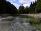 2
2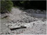 3
3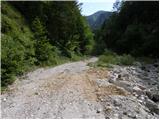 4
4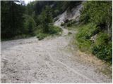 5
5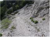 6
6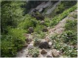 7
7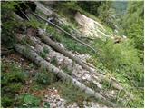 8
8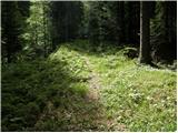 9
9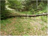 10
10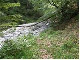 11
11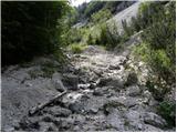 12
12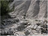 13
13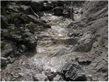 14
14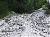 15
15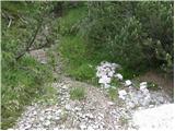 16
16 17
17 18
18 19
19 20
20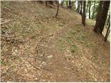 21
21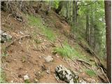 22
22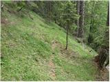 23
23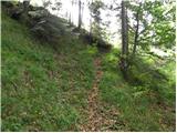 24
24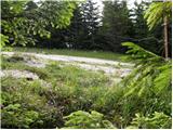 25
25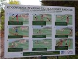 26
26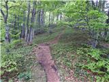 27
27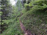 28
28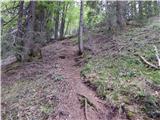 29
29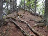 30
30 31
31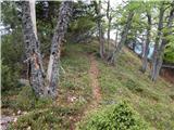 32
32 33
33 34
34
Discussion about the trail Erjavčev rovt - Bela peč (above Dovje)