Erjavčev rovt - Frauenkogel/Dovška Baba (via Brvog)
Starting point: Erjavčev rovt (1065 m)
| Lat/Lon: | 46,4792°N 13,9636°E |
| |
Name of path: via Brvog
Time of walking: 2 h 45 min
Difficulty: easy marked way
Altitude difference: 826 m
Altitude difference po putu: 880 m
Map: Kranjska Gora 1:30.000
Recommended equipment (summer):
Recommended equipment (winter): ice axe, crampons
Views: 18.093
 | 1 person likes this post |
Access to the starting point:
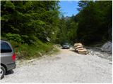
From the Gorenjska motorway, take the exit Jesenice - west and follow the road towards Kranjska Gora. Soon you will see signs for Dovje, which will direct you to the right on the ascending road, which will take you quickly up to the upper part of the village. Through the village, follow the road towards Kepe and Frauenkogel, then come to a slightly larger crossroads where you continue sharp left towards Kepe. Continue along a well-maintained forest road for some time before reaching the next junction. Continue slightly to the right (left Brinje, Rovt Vrse and Požarnica) along the road, which lays slightly further on and then starts to descend towards the confluence of Žaklja and Mlinca (there is also a small artificial lake at the confluence). Park at a suitable place at the confluence, or you can park a little further back at one of the suitable places along the road.
Path description:
From the confluence, head towards the left-hand stream (Žakelj) and cross it immediately. The wide path continues along the right side of the stream, but we follow it for only a few metres, and then the sign "Kepa" on the pasture fence directs us to the right onto the ascending footpath, which in a few minutes takes us above the cottage in Erjevčev rovt.
Continue along the marked path, which turns into a forest and starts to climb steeply. Higher up, the path turns slightly to the right and leads to the relatively folded cart track, after which we continue our ascent. The path then quickly leads to a water trough, after which it turns to the left and leads us out of the forest to mountain pasture Brvog, over which we quickly climb to the nearby hunting lodge.
From the hut, turn right and continue your ascent along the marked path which leads into the forest. The way ahead quickly leads us to an undistinguished partly grassy ridge, but it soon gives way to the right, on slightly steeper slopes. The pleasant path is completely laid higher up, and then leads us over increasingly scenic slopes to a small avalanche, over which the marked path leads. With some caution, we cross this slope, and then a relatively gently sloping path leads us to the Koritec well, at which there is a marked crossroads.
Continue to the right in the direction of the Mlinca saddle and follow the wide path, along which you will see a fence preventing livestock from crossing onto the steep slopes.
The marked path soon follows the fence a little to the left and passes into the lane of a compacted forest. The path crosses the slopes to the east for a short distance, then leads to the saddle Mlinca, where the track briefly disappears, and then several parallel tracks appear. The ascent continues along or just below the boundary ridge, and then, on the left side of the hunting observation post, a well-worn track is seen which begins to turn increasingly to the right. The increasingly scenic path continues to climb southwards, crossing the western slopes of Frauenkogel. The path then lays down and within a few minutes of further walking leads to the vast grassy slopes of mountain pasture Dovšek Rosenbachsattel. Here continue left (to the right the shepherd's hut on mountain pasture Dovška Rožca - 2 minutes) and continue the ascent along a slightly steeper path climbing the broad south-west ridge Frauenkogel. The less marked, but orientationally easy and increasingly scenic path climbs higher and turns slightly to the right, where you get onto the main ridge of the Karavanke Mountains. Here we see the not very compact peak Frauenkogel in front of us, which we reach after less than 5 minutes of further walking.

We can extend the trip to the following destinations: Hruški vrh
Pictures:
 1
1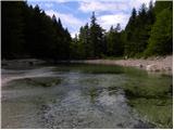 2
2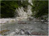 3
3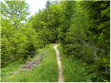 4
4 5
5 6
6 7
7 8
8 9
9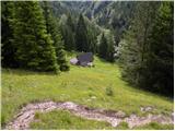 10
10 11
11 12
12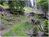 13
13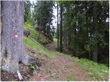 14
14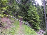 15
15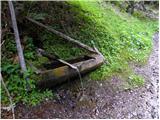 16
16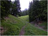 17
17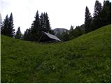 18
18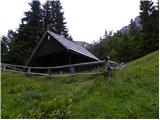 19
19 20
20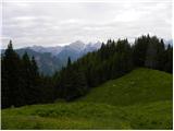 21
21 22
22 23
23 24
24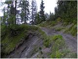 25
25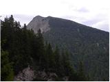 26
26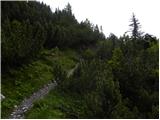 27
27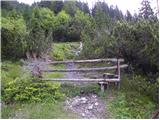 28
28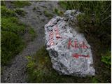 29
29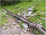 30
30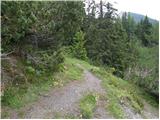 31
31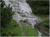 32
32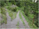 33
33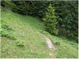 34
34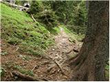 35
35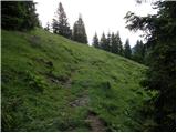 36
36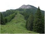 37
37 38
38 39
39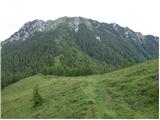 40
40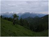 41
41 42
42 43
43 44
44 45
45 46
46 47
47 48
48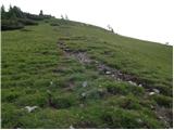 49
49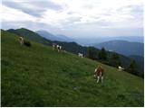 50
50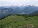 51
51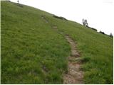 52
52 53
53 54
54 55
55 56
56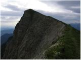 57
57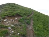 58
58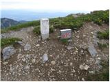 59
59
Discussion about the trail Erjavčev rovt - Frauenkogel/Dovška Baba (via Brvog)
|
| janat11. 08. 2015 |
Krasna pot, še posebej zato, ker po njej nehodi veliko pohodnikov. Z izjemo začetka in konca,se pot lepo dvigujuje tako,da jo lahko brez problemov prehodi vsak. Ko prideš iz gozda pa ogled za bigove, saj imaš na dlani vse Julijce. Priporočam močno!
|
|
|
|
| malimiha4. 05. 2016 |
Zanima me kakšne so kaj razmere na poti. Je še veliko snega? lp
|
|
|
|
| tango28. 10. 2020 |
Prelep jesenski dan, barve še vedno žive in nikjer nikogar.
Od studenca Koritec pa do sedla Mlinca pot kar konkretno blatna, blatno pa je bilo za naju tudi nadaljevanje, saj sva jo proti Dovški Rožci mahnila po spodnjem delu "planine", torej pod lovsko opazovalnico. Pobočje Dovške Babe nad kočo je bil prav tako močno namočen, ampak razgled je poplačal vse. Nazaj sva vdela pravo pot proti sedlu Mlnca in res je neprimerno boljša, kot pa je bila najina spodnja varianta. V Žaklju sva pa imela čistilno akcijo hlač in čevljev. Nepozaben dan!
|
|
|
|
| tango15. 02. 2021 |
Štart na Dovjem, po cesti in bližnjicah do zajetja, potem mimo koče v Erjavčevem rovtu na planino Brvog in do studečka Koritca. Nadaljevanje se nama ni izšlo saj sva šla na celo, pred nama gor in dol samo en turni smučar, kar je pristop samo še otežilo. Sicer pa krasen dan, spodaj ob zajetju kar hladno potem pa vse topleje, pri koči na Brvogu bi bil z lahkoto v kratkih rokavih. Prima dan!
|
|
|