Starting point: Ernejčkov graben (485 m)
| Lat/Lon: | 46,0641°N 14,2513°E |
| |
Time of walking: 2 h
Difficulty: easy marked way
Altitude difference: 449 m
Altitude difference po putu: 550 m
Map: Škofjeloško in Cerkljansko hribovje 1:50.000
Recommended equipment (summer):
Recommended equipment (winter):
Views: 18.716
 | 2 people like this post |
Access to the starting point:
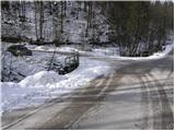
First, drive to Polhov Gradec (get here by Dobrova or Horjul), then continue to Črnji vrh. At the hamlet of Zalog (only identifiable by a large meadow), leave the road leading to Črnji vrh and continue left in the direction of Setnik and Srednji vrh (leave the road just a few metres before crossing a small wooden bridge). From the road, the road to Setnik soon branches off to the left, and we continue straight along the lower road, alongside which we soon see the mountain direction signs for Srednji vrh and Pasjo ravan. Park a little further on in the parking lot near a small crossroads.
Path description:
From the parking lot, we first walk to the mountain signs, which direct us to a steep road, which we climb in a few steps to the house, which the marked path bypasses on the right. Behind the house we see cart track, which ascends slightly to the left and then goes into the forest.
The partly overgrown path continues to climb past the isolated farm and leads us slightly higher to the forest road which we follow to the right, but only for a few steps, as the markings then direct us to the left on the footpath. The footpath soon leads us out of the forest, where it turns slightly to the left and leads us just a little further on to the grassy cart track, which we follow along the faintly visible markings to the village of Srednji vrh. When you get on the road in the village, just cross it and continue straight past the houses to the chapel behind the house (this part of the path is poorly marked). At the chapel, from where we have a nice view towards Črnemu vrh and the church of St Lenart, the marked path turns sharp left and continues in a gently sloping ascent along the cart track, which leads us higher into the forest. In the forest, the markings cart track direct us to the right on a footpath which gradually starts to climb steeper. The occasionally less visible, but relatively well-marked path then lays down and leads past the ruins to a slightly wider cart track, which is then followed to a dirt road.
Follow this road up to the farm Rus, where the marked path turns sharp left and continues along the folded cart track, which turns into a macadam road that descends steeply for a short distance. The road continues past a few houses and then continues along the scenic grassy hay meadows. Follow this road for some time, then the signs for Sivka direct you to the right and then immediately left onto a footpath (well marked), where you will see the PPP (Polhograjska planinska pot) sign.
Continue the ascent through the forest for a while, and then the path leads out of the forest, where you will see some houses in front of you. The path behind the houses leads us to a chapel for which there is a well-marked crossroads. Continue along the footpath in the direction of Sivka (right Pasja ravan, left Planina nad Horjulom), which leads us to a scenic peak in a few minutes, with increasingly beautiful views.

Pictures:
 1
1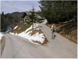 2
2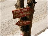 3
3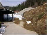 4
4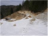 5
5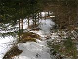 6
6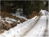 7
7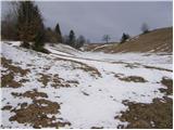 8
8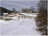 9
9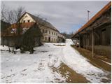 10
10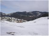 11
11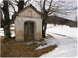 12
12 13
13 14
14 15
15 16
16 17
17 18
18 19
19 20
20 21
21 22
22 23
23 24
24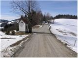 25
25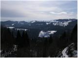 26
26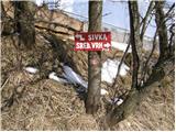 27
27 28
28 29
29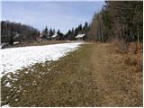 30
30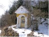 31
31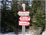 32
32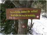 33
33 34
34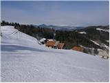 35
35 36
36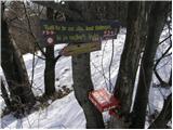 37
37 38
38 39
39
Discussion about the trail Ernejčkov graben - Sivka
|
| Tadej21. 02. 2009 |
Sivka je zame najlepši razglednik v Polhograjskem hribovju. Panorama
|
|
|
|
| viharnik21. 02. 2009 |
Sivko sem prevozil,poleg Pasje ravni,tudi z MTB.Dejansko razgled z vrha nima večjih preprek,le da je sam vrh le malo odročen.Zelo lep razgled je tudi s Treh Kraljev-Butajnova-Smrečje(MTB-Ljubljana),vendar vrh že spada med notranjske vršace.
|
|
|
|
| podplat8. 03. 2009 |
Danes sva se z ženo odpravila na kot kaže manj obiskano Sivko iz Jernejčkovega grabna. Pot od začetka strmejša, potem pa preide v lepo sprehajalno pot do vrha. Ob poti zelo lepi razgledi, najlepši pa na vrhu, ko se vidi daleč naokoli. Danes je bilo toplo in brez vetra, tako, da sva uživala. Prilagam nekaj slik, lp Borut
|
|
|
|
| Lisica20. 03. 2011 |
Pot je iz Jernejčkovega grabna in ne Ernejčekovega. Je lep izlet, vendar poteka precej poti po makadamskih cestah. Ima zelo malo obiska, razgledi so super. Sama sigurno še pridem v te kraje, res so lepi.
|
|
|