Erschbaum - Große Kinigat / Monte Cavallino (western way)
Starting point: Erschbaum (1690 m)
| Lat/Lon: | 46,72111°N 12,50989°E |
| |
Name of path: western way
Time of walking: 6 h
Difficulty: difficult marked way
Altitude difference: 999 m
Altitude difference po putu: 1297 m
Map:
Recommended equipment (summer): helmet, self belay set
Recommended equipment (winter): helmet, self belay set, ice axe, crampons
Views: 3.995
 | 2 people like this post |
Access to the starting point:
From Kranjska Gora via the Koren saddle to Austria, where at the first major junction continue left towards Podkloštro / Arnoldstein and Trbiz / Tarvisio. At the end of Podklošter, signs for Šmohor / Hermagor direct you to the right on the regional road, which takes you past the town to the end of the Ziljska valley, or more precisely to Kötschach-Mauthen, where you turn right towards Oberdrauburg. The road continues over the Gailbergsattel Alpine pass (982 m), after which you descend into the above-mentioned town. After crossing a bridge over the River Drava, turn left towards Lienz. At the main roundabout in Lienz, turn left towards Sillian and Itali. A few kilometres before Sillian, at Tassenbach, turn left towards Kartitsch in the direction of the Upper Zillertal/Tiroler Gailtal. Continue through Kartitsch and then turn right at Erschbaum down a narrow road which, after a short descent, crosses a wooden bridge and leads to a junction of forest roads. There is also a parking area in front of the crossroads near the sawmill.
Path description:
From the starting point, continue along the road and at the crossroads turn left after the signs "Erschbaumertal, Zum Klettersteig Gr. Kinigat". The road is officially closed to traffic (no traffic in both directions - forest road), but most people continue driving and save themselves a good hour's walk.
The road is initially quite gentle and runs through the forest to the east. At the crossroads, follow the signs for Erschbaumertal and Große Kinigat. The road later turns right to the south and runs mostly uphill along the stream. Higher up, the forest becomes thinner and the view opens up towards the Kleine and Große Kinigat peaks.
At the end of the Erschbaumertal valley, where there is also a small parking lot, the road ends and you continue slightly left on the footpath. Here the path climbs slightly steeper through a larch forest and leads to the crossroads at Tascharrhütte.
Continue to the right towards hut Obstansersee Hütte, with the climbing route on the left and the eastern route to Große Kinigat. Our route then takes us through a short lane of forest and crosses a stream. The path then follows the left side of the valley westwards and climbs below the slopes of the summit of Kleine Kinigat. The path then leads to the grassy slopes on the eastern side of Rosskopf and starts to climb slightly steeper. An unmarked and rather poorly trodden path then branches off to the left, quite inconspicuously, towards the ridge between Kleine Kinigat and Pfannspitze. We continue along the marked path, which leads us to the Rosskopftörl saddle.
From the saddle, where there is a fine view of the surrounding peaks, we descend to the west side towards the lake and the Obstansersee Hütte. The path descends here for about 200 metres and leads to a crossroads just in front of the hut.
It is only a few minutes' walk straight ahead to the hut and the lake, and at the crossroads we continue to the left following the signs "Pfannspitze, Große Kinigat. From the crossroads, the trail begins to climb southwards again and leads to a crossroads on the border ridge.
At the crossroads, where the view opens up towards Dolomites, continue left and then climb the ridge to the top of the Pfannspitze.
From the top, continue along the ridge and start to descend slightly. The path here follows a mostly grassy border ridge to the east. Later, there is a short traverse on a slightly steeper rocky slope, and then the path soon leads to the foothills of the Kleine Kinigat. Here the trail turns to the Italian side and crosses the slightly steeper slopes below the summit of Kleine Kinigat, mostly downhill. This path then leads to a saddle on the east side of the summit where there is also a crossroads. At the crossroads, continue left after the "Große Kinigat" signs and the path soon becomes more difficult. The path climbs up a rather steep slope, and the cable cars are helpful. You need to be careful when climbing as there is also a lot of rubble on the path. The climb is quite difficult, but most people can manage it without self-carriage.
The path becomes less steep and leads to the Austrian side of the border ridge. Here the path crosses scree and soon we see the summit of Große Kinigat. At the signposts where the climbing path joins us from the left, continue straight ahead and start climbing a little steeper again. Just below the summit, the eastern path joins from the right and there is only a short climb to the summit lookout.

Pictures:
 1
1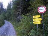 2
2 3
3 4
4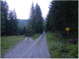 5
5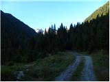 6
6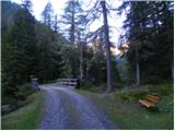 7
7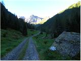 8
8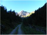 9
9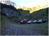 10
10 11
11 12
12 13
13 14
14 15
15 16
16 17
17 18
18 19
19 20
20 21
21 22
22 23
23 24
24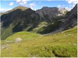 25
25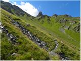 26
26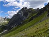 27
27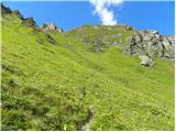 28
28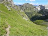 29
29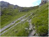 30
30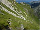 31
31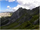 32
32 33
33 34
34 35
35 36
36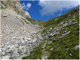 37
37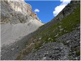 38
38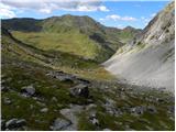 39
39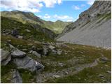 40
40 41
41 42
42 43
43 44
44 45
45 46
46 47
47 48
48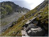 49
49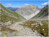 50
50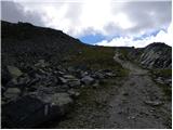 51
51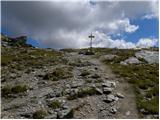 52
52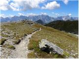 53
53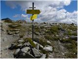 54
54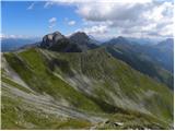 55
55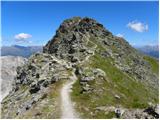 56
56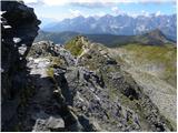 57
57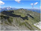 58
58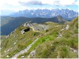 59
59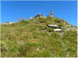 60
60 61
61 62
62 63
63 64
64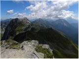 65
65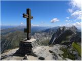 66
66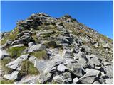 67
67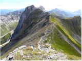 68
68 69
69 70
70 71
71 72
72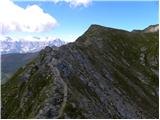 73
73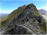 74
74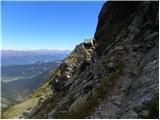 75
75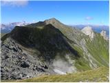 76
76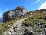 77
77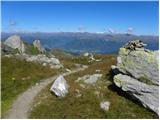 78
78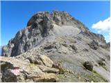 79
79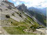 80
80 81
81 82
82 83
83 84
84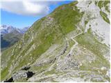 85
85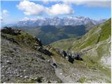 86
86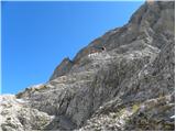 87
87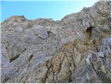 88
88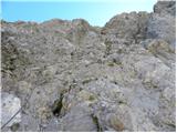 89
89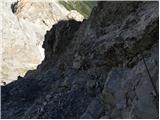 90
90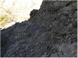 91
91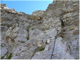 92
92 93
93 94
94 95
95 96
96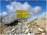 97
97 98
98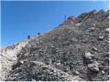 99
99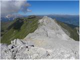 100
100 101
101 102
102
Discussion about the trail Erschbaum - Große Kinigat / Monte Cavallino (western way)
|
| mirank19. 09. 2017 |
No nekaj je gotovo narobe, kar se višine tiče to ni 3.vrh Karnijcev. Ta vrh si deli 6. mesto s Creto di colina, če pač sem ne štejemo še Cime dai preti.
|
|
|
|
| Rok19. 09. 2017 |
Sem odstranil ta podatek.
|
|
|
|
| ločanka10. 09. 2021 13:16:01 |
Midva sva se na ta vrh peljala po italijanski strani. In sicer skozi Tolmezzo, Sappada,Sega Digon do planine Silvella, 1827 m.n.v. Najbolje je delati krožno pot, začetek po poti 146 in preko sedla na vrh. Vračanje proti zahodu preko vrhov Pfannspitze in Cime Frugnoni do sedla Silvella. Midva sva jo sicer skrajšala za vrh Frugnoni in se spustila z Obstaner Sattel direktno po travnatih strminah proti izhodišču. Na poti sva se sladkala z borovnicami na višini približno 2200 m. Izgleda, da jih tam ne jedo, ali pa je tako malo obiska  .
|
|
|
|
| mirank10. 09. 2021 19:50:12 |
lepo, le škoda ker nista dodala še prečenja Frugnonija, saj je sestop možno kmalu za vrhom skrajšati po udobni mulatieri. Čim se ta spusti pod vršno strmino smo na lepo vidno "cesto" spodaj prečili kar naravnost dol po mehkih planjavah  . kasneje smo skrajšali še par ovinkov tako da smo jutranjo pot vzpona koristili bolj malo. Italjani so skoraj popolnoma zgubili stik z naravo; pred letom me je neka ženska vprašala če so užitne, ko sva (kot srčna bolnika plavih ustnic) obirala grmičke nad potjo med planinama Pramosio 
|
|
|