Franz-Josefs-Hohe - Großglockner
Starting point: Franz-Josefs-Hohe (2369 m)
| Lat/Lon: | 47,0752°N 12,7516°E |
| |
Time of walking: 8 h
Difficulty: very difficult marked way
Altitude difference: 1429 m
Altitude difference po putu: 1650 m
Map:
Recommended equipment (summer): helmet, ice axe, crampons
Recommended equipment (winter): helmet, ice axe, crampons
Views: 74.648
 | 7 people like this post |
Access to the starting point:
Pass through the Karavanke Tunnel past Spittal and on to Lienz, but only as far as Molbrucke. Continue following the signs for the Alpine road to Grossglockner. When you reach the mountain village of Heiligenblut (holy blod), 1336 m high, you only have 17 km of the Grossglockner Hochalpenstrasse, the most famous Alpine panorama road. The toll for this road is €26 per car (except at night until 5 a. m. ). The road is open from May to October or depending on snow conditions.
More information at:http://www. grossglockner. at/en/hochalpenstrasse
Path description:
Park in the garages at the edge of the Pastirica/Pasterze glacier at the best viewpoint Franz-Josefs-Höhe 2369 m high, from where you can see your way all the way to Kleine Grossglockner. If you get there at night or the day before, it's a good idea to bring a sleeping bag and an armaflex, as you can sleep in the garages for emergency sleeping. The Grossglockner Gletscherbahn has been running to the Pastiritz/Pasterze glacier since 1963. From a height of 2356m, the 212m-long conduit leads 144m down to the edge of the glacier.
Our ascent starts directly from the garages through one of the five tunnels to the Hofmannhutte hut 2444m high. The tunnels were built because the old trail-way was carried away by an avalanche in several places and the trail was closed for several years. The tunnels are a lot of fun. It is reminiscent of Gardaland. Once through the last tunnel, we soon see the Hofmannhutte hut on the left, which we pass. The hut is in a bad state of repair and has therefore been closed and occupied by marmots for several years. Passing the hut, we descend about 200 m to the Pastirica/Pasterze glacier. Cross the glacier at right angles to the slope you came down. When crossing the glacier, it is necessary to watch out for cracks in the glacier, as they can be quite wide and of unknown depth. The glacier is up to 160 m thick. In the event of fog, orientation on the glacier is very difficult. If, on the other hand, you do not see coloured markings on the rocks or marked stakes, go down a little at first, because when crossing the glacier you usually go a little to the right. If there are no markings after 100 metres, repeat the process upwards and you will certainly find the markings. The path then climbs steeply up the ridge to a place called Fruhstuchsplatz, where you take a few steps down the ridge to the left. Here begins the long climb over the Hofmannskess glacier to the Erzherzog-Johann-Hutte (Adlersruhe-Eagle's Rest) hut at 3454 m. The lower part of the trail goes to the left, the upper part up and to the right to the hut. To the right you can go: 1. on the glacier below the intermediate rock ridge. 2. continue up the glacier as far as the edge of the upper ridge, where the path joins the path from the Salmhütte hut on the south side. Continue right along the steel cable. Soon we have to cross a rocky intermediate ridge. Whereupon the paths merge and the hut is within easy reach. Orientation is easy on the Hofmannskess glacier in fine weather, but very difficult or impossible in fog. From the Erzherzog-Johann-Hütte hut (open from May to the end of September), continue along the snow slope immediately after the hut. After a steep snow slope you climb up to the Sattele (saddle) 3680 m high, where the snow slope ends. There is usually not much snow further on in the summer months, so this part of the climb is more on rock than on snow. First, climb the steep exposed ridge to Kleine Grossglockner 3783 m high and descend a little lower over it to the very narrow Glockner-scharte. There is only rom for one person to pass, so there are often long jams at this point. There is only a steep climb of about 50 m via the Steila Platten to the top of the Grossglockner. We are rewarded with views of the French and Swiss Alps, the Italian Dolomites, the Julian Alps and the High Tauern.
The belays over Kleine Grossglockner and to the summit are steel bars and rings with rungs, so with the right equipment there is no problem at belaying. We also need equipment for walking in a harness. The climb requires some mountaineering skills and experience. If you don't have any, it is best to climb with a guide or an experienced climber.
We descend following the route of ascent. Once you have descended to the Pastirica/Pasterze glacier, you can go straight down the glacier to the bottom station of the cog railway, take it to the garages or climb on foot.

Pictures:
 1
1 2
2 3
3 4
4 5
5 6
6 7
7 8
8 9
9 10
10 11
11 12
12 13
13 14
14 15
15 16
16 17
17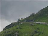 18
18 19
19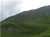 20
20 21
21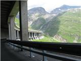 22
22 23
23 24
24 25
25 26
26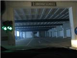 27
27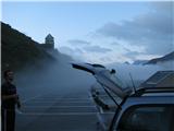 28
28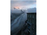 29
29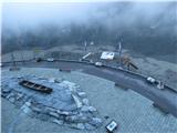 30
30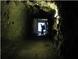 31
31 32
32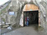 33
33 34
34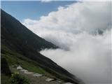 35
35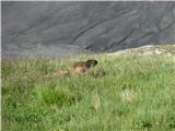 36
36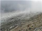 37
37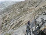 38
38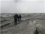 39
39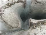 40
40 41
41 42
42 43
43 44
44 45
45 46
46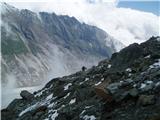 47
47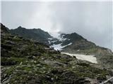 48
48 49
49 50
50 51
51 52
52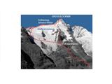 53
53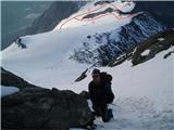 54
54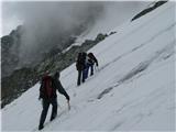 55
55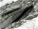 56
56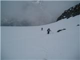 57
57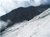 58
58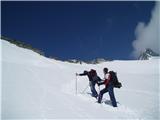 59
59 60
60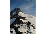 61
61 62
62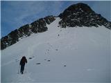 63
63 64
64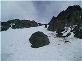 65
65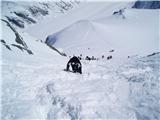 66
66 67
67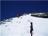 68
68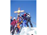 69
69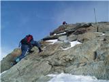 70
70 71
71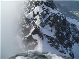 72
72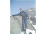 73
73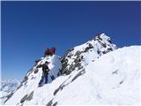 74
74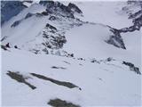 75
75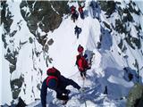 76
76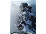 77
77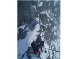 78
78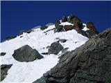 79
79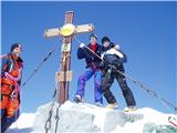 80
80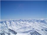 81
81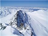 82
82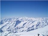 83
83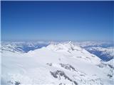 84
84 85
85 86
86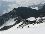 87
87 88
88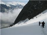 89
89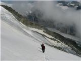 90
90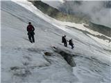 91
91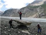 92
92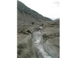 93
93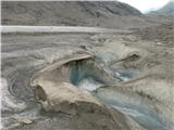 94
94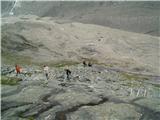 95
95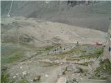 96
96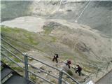 97
97
Discussion about the trail Franz-Josefs-Hohe - Großglockner
|
| Johny7726. 09. 2009 |
živjo vidm tele slike zelo zanimiv, a ste mogl njihovega vodnika najet ?
|
|
|
|
| izigov27. 09. 2009 |
Čestitke s Koroškega konca.
|
|
|
|
| JTrogar27. 09. 2009 |
V Avstriji najem vodnika v visokogorje še ni obvezen, kar pa se lahko čez noč spremeni. Lp, Janez.
|
|
|
|
| planinc28. 06. 2010 |
jaz bi sam nekaj vprašu.kateri mesec ste se odločli za vspon.hvala 
|
|
|
|
| JTrogar14. 06. 2010 |
Tiske slike z malo snega so konec junija, z veliko snega pa v začetku aprila.
Lp, Janez.
|
|
|
|
| šerpa8. 07. 2010 |
V obeh prispevkih o Grossgloknerju pišeš Mali klek "Kleine Grossglockner". V nemščini je ta mali vrh Kleinglockner (3.770 m). Verjetno se ti je zapisalo, pa če hočeš popravi. Sicer pa bil včeraj prvič na vrhu - nepozabno.
|
|
|
|
| petruša12. 09. 2011 |
Pozdravljeni, vem da je že marsikdo bil tukaj. Ker smo že od polno ljudi slišali da je tukaj zelo lepo in prekrasni pogledi smo se odločili za enodnevni izlet. Nebi šli na Grossglockner ampak samo do tega hotela ali kaj že je. Zanima nas koliko je prebližno vožnje do sem, smo iz štajerske, pa koliko je plačilo ceste, da malo vidimo koliko nas stane. Pa če ta dostop je vredi napisan, da se nebi iskali nekje v Avstriji. hvala že v naprej in lp
|
|
|
|
| facko12. 09. 2011 |
Če ti ugajajo "masovke" in pogled na GG iz JV smeri, potem je cesta Glocknerstrasse z razgledno ploščadjo to. Če pa bi želela izlet+kratek planinski sprehod, potem priporočam pot iz južne smeri - iz kraja Kals do Lucknerhaus in potem (peš) do Stüdlhütte (cca 2 uri gor in 1,5 ure dol). Za načrtovanje poti uporabi ViaMichelin, ki ti najbolj realno pove kje, kako in za koliko ... za končni cilj vpiši naslov: Glor-Berg 16 A-9981 Kals am Großglockner Če potrebuješ še kakšno info vprašaj 
|
|
|
|
| Enka12. 09. 2011 |
Petruša, po mojem je tole za en dan kar hudo veliko vožnje. Iz Ljubljane je do tja ene 3h vožnje, iz Štajerske je gotovo še nekoliko več. Torej 6-7h vožnje, če ne šteješ še vožnje po sami alpski cesti. Mi smo ogled skombinirali z (večdnevnim) izletom v Salzburg - vračali smo se po alpski cesti mimo GG. Drugače pa je cesta in njene točke nekaj izjemno lepega in obisk toplo priporočam. Morda pa prespite v Heiligenblut (možnosti dovolj, saj je pozimi tu smučišče in tovrstnih kapacitet ne manjka) in si privoščite še kakšen vzpon do katere od koč pod GG  .
|
|
|
|
| Okmodko12. 09. 2011 |
A ni žalostno da je tako očitno slovenska beseda napisana kot pesterze? Zakaj ne piše pod imenom poti, preko ledenika pastirica? Pa kaj smo slovenci tok butasti,da ne znamo slovenskih besed izgovarjat? Aufwidersehen teptschki!
|
|
|
|
| facko12. 09. 2011 |
@Okmodko: v nemščini se pišejo osebki z veliko začetnico  @Enka: za en dan ni malo vožnje ampak lep jesenski dan v tistih krajih si zapomniš za dalj časa  Na alpski cesti pa je možen - če se ne motim - samo lahek planinski sprehod do Hoffmans-Hütte ali pa s "potegavščino" na ledenik 
|
|
|
|
| Okmodko12. 09. 2011 |
Se opravičujem ker ne znam tako dobro nemško kot vi slovensko. Želim vam lep izlet pa uživajte ko se boste peljali po svobodni Kärnten čez Klagenfurt ali Vilach na Gross Glockner. Pa kaj javite v Laibach ali Marburg kako ste se mel.
|
|
|
|
| atoamac12. 09. 2011 |
@Okmodko, samo foušija al še kaj drugega?
|
|
|
|
| Okmodko12. 09. 2011 |
Mah nevem zakaj govorimo sploh slovensko, če je vsem vseen. Dej spremenmo vsa slovenska krajevna imena v Sloveniji, v angleška imena,da bojo tujci lažje razumel. Kurc gleda Slovenijo in slovenski jezik. Kaj sploh je to? Sopomenka prašičjemu kruljenju!
|
|
|
|
| facko13. 09. 2011 |
@Enka: razdalje in časovnica, kot je prikazal ÖAMTC Routenplaner ... 1. Maribor/DVORANA TABOR - Labot - Celovec - Beljak - Špital ob Dravi - Möllbrücke - Lienz - Kals pod Velikim Klekom  306.3 km 4:44 h:min 2. Maribor/DVORANA TABOR - Labot - Celovec - Beljak - Špital ob Dravi - Möllbrücke - Heiligenblut  288.0 km 4:33 h:min Lepi jesenski dnevi vabijo   
|
|
|
|
| Enka13. 09. 2011 |
Facko, meni je pač to preveč vožnje za en dan, čeprav se strinjam, da je vredno, ker je cesta in vse ob njej enkratno. No, jaz si recimo želim tudi enkrat smučat v Heligenblutu, a se mi vendar ne ljubi tja vozit za enodnevno smuko. Ampak, jasno, vsak po svoje, komur vožnja ni odveč - toplo priporočam izlet  .
|
|
|
|
| Janez Seliškar26. 07. 2013 |
Veliki Klek je toliko težji, kolikor so manjše sposobnosti tistega, ki se želi povzpeti nanj.
Sicer gora, kot gora. Sredi ledenikov z vsemi svojimi lepotami in nevarnostmi.
|
|
|
|
| mirni9. 06. 2014 |
Mene zanima če kdo kej ve kolk je še snega po poti na veliki klek?
Hvala in lep pozdrav
|
|
|
|
| mirni9. 06. 2014 |
Zanima me še če ima kdo namen it na veliki klek v roku enega meseca
|
|
|
|
| viharnik9. 06. 2014 |
Še do Študlce boste gazili, od Franz Josefs Hohe je pa itak večni sneg in led.Malo poglejte na TK gora Johannisberg, da vam bo bolj jasno v kaj se podajate.Tudi špaltne se sedaj odpirajo in rahljajo.Tritisočaki vendarle niso ala Šmarna gora.
|
|
|
|
| rusmi27. 06. 2014 |
je kdo bil v zadnjem tednu gor?  
|
|
|
|
| mukica24. 07. 2014 |
Katja z PD Murska sobota...
|
|
|
|
| Janez Seliškar24. 07. 2014 |
Kar precej v zadnjih cca 14 dneh, a vsi iz Kalsa.
|
|
|
|
| petruša19. 08. 2014 |
Pozdravljeni, zanima me cestnina koliko pride....
|
|
|
|
| KANA19. 08. 2014 |
za avto 34€, za motor 24€
|
|
|
|
| Marko8331. 08. 2014 |
Zanima me, kolk je kaj hoje do Erzherzog-Johann-Hütte? A tam v škrbini so varovala-zajle? slike 76,77,78
|
|
|
|
| mukica31. 08. 2014 |
Če je malo pohodnikov od 1h do 1.30h, vendar je običajno gneča .Varoval ni.
|
|
|
|
| JTrogar31. 08. 2014 |
Do Adlerce je okrog 6h(+-1h), odvisno od razmer in kondicije. Nikakor pa ne 1-1,5h kot je napisal mukica. To je čas od Adlerce pa na vrh.
Prek Malega je kar nekaj štang, z njega na škrbino je zajla(sl.77), z nje na Velikega pa spet nekaj štang tako, da je samo varovanje dokaj enostavno.
Lp, Janez
|
|
|
|
| lovrodro20. 08. 2022 15:36:16 |
Smo bili gor letos julija, ledeniki so imeli že precej velike razpoke, led pa se tako tali, da na nekaterih odsekih že skoraj potrebuješ kopalke  .
|
|
|