Franzbauer - Ferlacher Horn / Grlovec
Starting point: Franzbauer (1008 m)
| Lat/Lon: | 46,4759°N 14,2981°E |
| |
Time of walking: 2 h 15 min
Difficulty: easy marked way
Altitude difference: 832 m
Altitude difference po putu: 832 m
Map: Karavanke - osrednji del 1:50.000
Recommended equipment (summer):
Recommended equipment (winter): ice axe, crampons
Views: 6.605
 | 1 person likes this post |
Access to the starting point:
From the motorway Ljubljana - Jesenice, take the exit Ljubelj (Tržič) and then continue in the direction of Klagenfurt / Klagenfurt. After the Ljubelj tunnel, the road starts to descend and we follow it to a junction where the road to Borovlje / Ferlach branches off slightly to the right and downwards. The road continues to descend and quickly leads us to the aforementioned place, where we soon cross the railway line. Just after the railway line, we join another road, which we follow to the right, and we follow it towards Sele / Zell - Pfarre. Shortly after the village of Bajdiše / Waidisch, we leave the main road and continue to the right in the direction of Upper Kot / Zell - Oberwinkel. Continue along the Ribnitza stream for a while and soon you will see the first mountain signs for Ferlacher Horn / Ferlacher Horn. You can start here (this will add about 45 minutes to the journey), or you can go a little higher up towards the Franz farm / Franzbauer. If you continue driving, you can continue along the valley for a while and then park in a suitable place about 15 minutes downstream from the Franc / Franzbauer farm.
Path description:
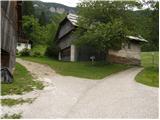
From the starting point, first walk to the Franc farm, where there are a few houses.
At the end of the small hamlet, the signs for Ferlacher Horn direct us left to cart track, which takes us past the house with house No 11 to the place where cart track turns right and the marked trail continues straight ahead. The path then crosses a short clearing or meadow, and then passes into a forest through which it gradually begins to climb more steeply. Higher up, the track is laid, and then leads us to a forest road, which we follow for a few metres to the left, and then after a few metres we see the continuation of the mountain path. Continue parallel to the road for a short distance and then cross the clearing. On the other side of the clearing, enter the forest and the path leads to a marked crossroads where you join the path from Dajčpetra / Deutcher Peter.
Here, continue right and once again cross a fairly scenic clearing. The path continues through the forest and gradually leads past the memorial to the western ridge of Grlovec (the ridge called Velika gora). We continue our ascent along and along the ridge, which occasionally offers a fine view, especially to the north. The ridge narrows and continues for a short time along the edge of a mighty precipice (the precipice is only on one side, so there are no major problems). Grebenc then gradually widens, and the path leads us out of the forest to the top slope of the mountain. There is a short traverse through a sparse lane coniferous forest, and then, as the views get better and better, we quickly reach the summit, where a larger cross stands.

Pictures:
 1
1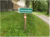 2
2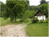 3
3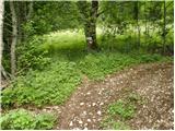 4
4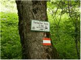 5
5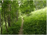 6
6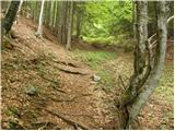 7
7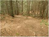 8
8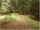 9
9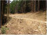 10
10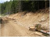 11
11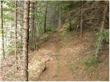 12
12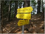 13
13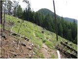 14
14 15
15 16
16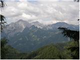 17
17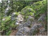 18
18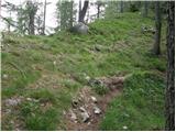 19
19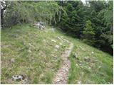 20
20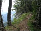 21
21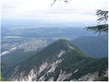 22
22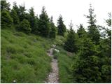 23
23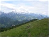 24
24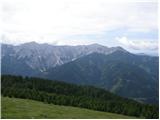 25
25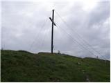 26
26
Discussion about the trail Franzbauer - Ferlacher Horn / Grlovec
|
| michael6612. 04. 2017 |
A je do kmetije Franc asfatna cesta?
|
|
|
|
| turbo12. 04. 2017 |
Do Franca je asfalt, je pa vožnja gor uradno dovoljena samo domačinom. Jaz sem vedno pustil avto spodaj na križišču, tudi Avstrijci počnejo isto, v vasi tako ali tako ni prostora za parkiranje, razen nekomu na dvorišču.
|
|
|
|
| ljubitelj gora7. 10. 2019 |
Včeraj popoldne se zapeljal tja, na Ljubelju kontolirajo osebne izkaznice. Cesta do izhodišča je asfaltirana. Pot je lahka in dobro markirana. Razgledi pa veličastni.
|
|
|