Frohnleiten - Gschwendt (Gschwendtberg)
Starting point: Frohnleiten (440 m)
| Lat/Lon: | 47,26716°N 15,32882°E |
| |
Time of walking: 1 h 45 min
Difficulty: easy marked way
Altitude difference: 560 m
Altitude difference po putu: 620 m
Map: https://www.bergfex.at
Recommended equipment (summer):
Recommended equipment (winter):
Views: 122
 | 2 people like this post |
Access to the starting point:
Leave the Maribor-Graz-Salzburg motorway (A9) after a few short tunnels outside Graz and continue right on the expressway towards Wien-Bruck/Muhr-Peggau.
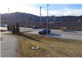
Leave the expressway at the Frohnleiten exit and turn left. After the underpass, turn right into the train station parking lot, where you park.
Path description:
From the parking lot, follow the road up through the underpass. After the underpass, turn left down a side road.
Cross a small bridge and follow the footpath on the right up along the stream.
After the last house, a signpost directs you left into the woods. At the start, the path leads up a serpentine path, past a viewpoint. Then follow the path up the ridge.
There are a few flat parts in between, but the path becomes steeper towards the top.
A few minutes below the first peak, you will reach a viewpoint with a small bench. There is a short climb to the top.
From the top, cross the path on the other side and continue down to the crossroads.
The left-hand path leads down the steep slope to Frohleiten, while we take the right-hand path towards Rote Wand.
We arrive at an open area with a view to the west, we can see the neighbouring hill "Hochtrötsch".
The path then leads back into the forest. After 100m of gently uphill we reach the highest point marked "1000m".
Pictures:
 1
1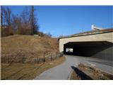 2
2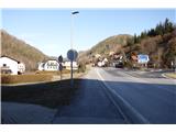 3
3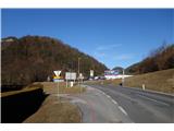 4
4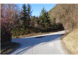 5
5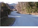 6
6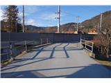 7
7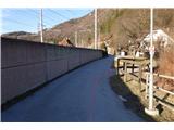 8
8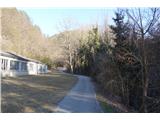 9
9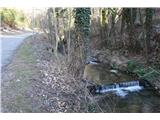 10
10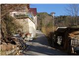 11
11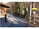 12
12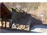 13
13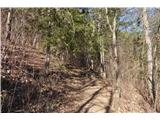 14
14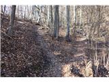 15
15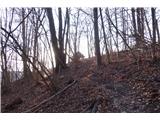 16
16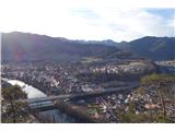 17
17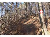 18
18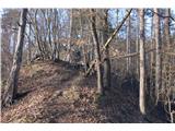 19
19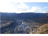 20
20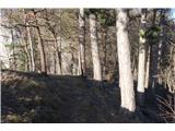 21
21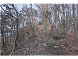 22
22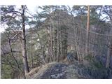 23
23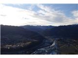 24
24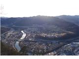 25
25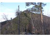 26
26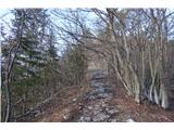 27
27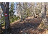 28
28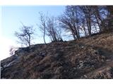 29
29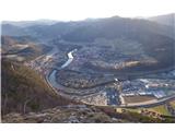 30
30 31
31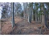 32
32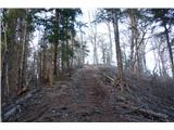 33
33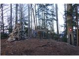 34
34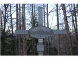 35
35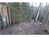 36
36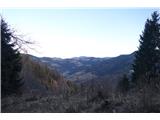 37
37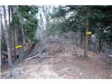 38
38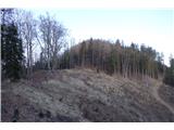 39
39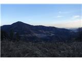 40
40 41
41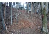 42
42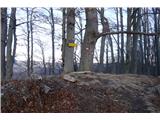 43
43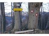 44
44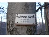 45
45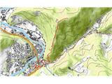 46
46
Discussion about the trail Frohnleiten - Gschwendt (Gschwendtberg)