Fuciade, Passo San Pellegrino - Sasso Vernale
Starting point: Fuciade, Passo San Pellegrino (1900 m)
Time of walking: 5 h 30 min
Difficulty: partly demanding marked way, difficult unmarked way
Altitude difference: 1158 m
Altitude difference po putu: 1158 m
Map: Tabacco 1:25.000 (Marmolada)
Recommended equipment (summer): helmet
Recommended equipment (winter): helmet, ice axe, crampons
Views: 4.118
 | 1 person likes this post |
Access to the starting point:
Leave the motorway between Trieste and Venice at Portogruaro and follow the motorway towards Pordenone, Conegliano and Belluno, where you leave the motorway and continue through Belluno, Ponte nelle Alpi, Agordo, Falcade, towards Passo san Pellegrino. About a kilometre before reaching the pass, turn right at the sign for Baita Flora Alpina towards the mountain pasture pasture of Malga Boer (1808 m) and the cirque pasture of Fuciade. After a kilometre or so of steep road past mountain pasture, park in the marked parking lot by the bridge over the Rio Cigole. The road continues to the cottages, stables and hut of Fuciade, but a sign prohibits further driving.
It is also possible to approach on foot from the pass itself, passing the Hotel Miralago.
The other possible access is via Karawanks - Spittal - Lienz - Cortina d'Ampezzo - Falzarego - Alleghe - Falcade - Passo san Pellegrino.
Path description:
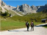
From the parking lot, continue along the sloping, initially asphalted cart track over beautiful pastures towards the foothills above the Val Cigolè, dominated by the peaks of Cima Uomo, Punta Cigolè, and Sasso di Valfredda, past idyllic cottages, to the Rifugio Fuciade hut/hotel, 1974 m (20 minutes).
At the crossroads behind the hut, leave the wide mulatto track and then follow route 607 across the pastures. The comfortable, steady serpentines offer views of the distant Pale di San Martino and the nearby towers of Cima Tascia and Torre Enrica. At the top of the grassy ridge, you enter the extensive scree of Val Cirelle, over which a comfortable path with numerous switchbacks leads. At the signpost for Cima Uomo the valley continues straight ahead, and we turn sharp right and follow the comfortable serpentines over the huge scree to the Cirelle Pass (2683 m, 2½ to 3 hours from the hut, cross/chapel).
At the top of the pass you can see the upper Contrin valleys and the elegant pyramid of Sasso Vernale (3054 m), which reigns over the slightly lower Ombretta ridge, with the broad south face of the Marmolada beyond and the Gran Vernel to the left of it. From the pass, two easy half-hour excursions are possible along unmarked but clearly visible paths, to the left to the eastern summit of Cima Cadina (2885 m) and to the right to Punta Cigolè (2815 m).
From the pass, follow the signs for the Rifugio Contrin hut for a few metres, then follow the red-dotted path 612 towards the Falier hut (marked on a rock). The path ascends and descends several times on the slopes of Punta Cigolle and Cima Ombrettola. Crossing a few snow tongues that persist late into summer, the ridge above the Passo Ombrettola pass, 2864 m, is reached by a steeper climb through a crumbly, craggy, almost lunar world, (1 hour from the Cirelle Pass), from which you look out over the Vallon d'Ombrettola valley to the mighty walls proudly displayed by the Sasso di Valfredda, Formenton, Monte la Banca, Fop, Civetta and Pelmo.
At the pass, the markings end. Descend a few metres towards the hut in the direction of Ombrettola, put on your helmet, leave the path below the lowest point of the pass and find the path along the southern ridge, which follows the remains of a WWI military trail. The relatively easy path with a few exposed places is littered with rubble due to the crumbly rock, so follow carefully the most logical and obvious passages and remnants of military obstacles to the summit (manic, 40 minutes - 1 hour from the Ombrettola Pass). The view in the right weather is phenomenal. The return journey (3 hours) is an express delivery over just the right amount of soft scree from the Cirelle Pass almost to the starting point.

Pictures:
 1
1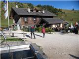 2
2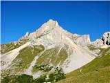 3
3 4
4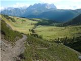 5
5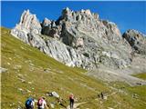 6
6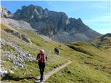 7
7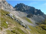 8
8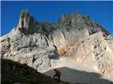 9
9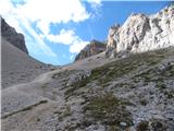 10
10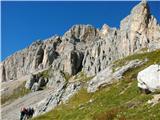 11
11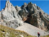 12
12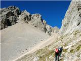 13
13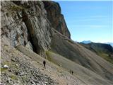 14
14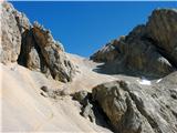 15
15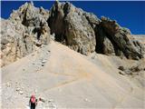 16
16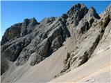 17
17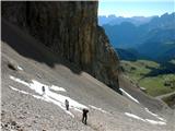 18
18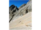 19
19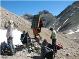 20
20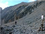 21
21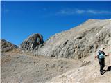 22
22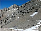 23
23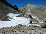 24
24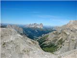 25
25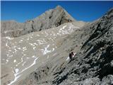 26
26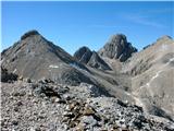 27
27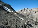 28
28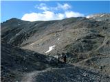 29
29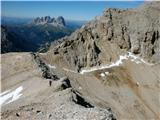 30
30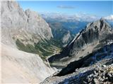 31
31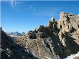 32
32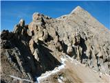 33
33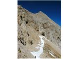 34
34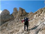 35
35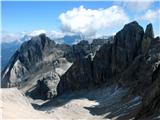 36
36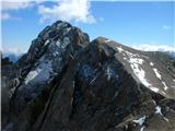 37
37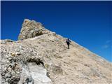 38
38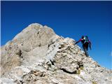 39
39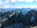 40
40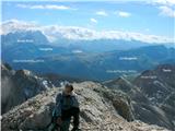 41
41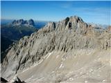 42
42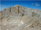 43
43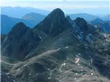 44
44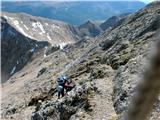 45
45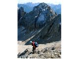 46
46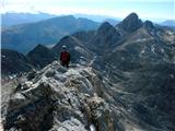 47
47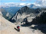 48
48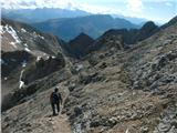 49
49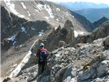 50
50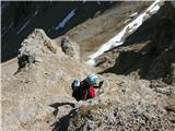 51
51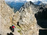 52
52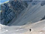 53
53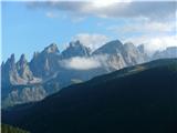 54
54
Discussion about the trail Fuciade, Passo San Pellegrino - Sasso Vernale
|
| Paglia28. 10. 2019 |
V nedeljo smo v verjetno zadnjem izjemno lepem vikendu opravili tole turo po zgornjem opisu.
Sem kar izkušen gornik z dolgoletno praksoin zato podajam svoje subjektivno mnenje o opisu.
Do sedelca Ombrettola je opis zelo natančen, uporaben ter pravilen.
Z sedla kjer te pričaka ključen najbolj zahteven del pa se nikakor ne morem strinjati z mnenjem, da je pot zelo enostavna. Možicev takorekoč ni, varoval seveda nobenih, potreben je vseskozi zelo previden korak da ne zdrsneš po zelo strmem ter z nevarnim drobirjem pokritem skalnatem pobočju. Edina pomoč so nekakšni kovinski , rahlo majavi polmetrski drogovi še iz prve svetovne vojne, ki pa se nahajajo le tja in sem v srednjem delu ključnega vzpona Za zelo izkušene gornike vajene vseh takšnih in drugačnih težav pa seveda vzpon predstavlja velik andrenalinski zalogaj.
Za vzpon smo potrebovali 5 ur, za sestop pa 4 ure. Razgled je bil seveda v nedeljo, ko lahko rečemo, da je bil dan za bogove fenomenalen, še najbolj na mogočno južno steno bližnje Marmolade.
Seveda pa če se odpravljate iz centralne Slovenije ( cca 320 km v eno stran ) priporočam nočitev en dan prej v Falcadu, kjer smo v mrtvi sezoni plačali app za 4 osebe skupaj 60 eur.
Če koga še kaj zanima lahko vpraša, bom z veseljem odgovoril.
|
|
|
|
| Pastirica28. 08. 2025 20:08:33 |
V torek sem stala na na tem prelepem a dokaj zahtevnem tritisočaku. Moram reči, da se kar strinjam z oceno predhodnika. Od sedla Ombrettola naprej je šlo po mačje. Že sam vstop ( vsaj dve varianti ) zahteva previden korak zaradi drobirja na skalah. Sledi vzpon po precej strmi grapi, kjer so mi roke prišle še kako prav. Pot se nadaljuje proti desni po dokaj varni stezici. Nato pa pride tisti del s ploščami in drobirjem, ki zahteva vso previdnost. Železne palice so bile v pomoč in vsaj tiste, ki sem jih uporabila, se niso majale. Sicer pa sem raje iskala stope in oprimke v sami skali. Povsem zadnji del je spet lažji.
Možicev je bilo tokrat dovolj. Imela sem tudi GPS sled in dva pohodnika pred mano, ki sem ju s sedla opazovala skoraj do vrha.
Za celo pot ( z ovinka proti koči Flora ALpina - passo Pellegrino) sem rabila 5,5 ure. S sedla Omrettola do vrha 50 min in prav toliko sestop na sedlo.
Če vrh primerjam s sosednjo Ombretto Orientale, se mi je zdel Vernale težji. Sem se pa s podobnim terenom srečala na Tofani.
Razgled z vrha pa jemlje dih. Od tisth redkih poznanih in do preštevilnih ostalih. Stupendo ( osupljivo)!
|
|
|