Fusine Laghi - Monte Coppa
Starting point: Fusine Laghi (850 m)
| Lat/Lon: | 46,4987°N 13,6959°E |
| |
Time of walking: 2 h
Difficulty: easy marked way
Altitude difference: 646 m
Altitude difference po putu: 680 m
Map: Kranjska Gora 1:30.000
Recommended equipment (summer):
Recommended equipment (winter): ice axe, crampons
Views: 3.526
 | 1 person likes this post |
Access to the starting point:
First we drive to Kranjska Gora, then continue to Rateče and on to Itali. After crossing the national border, drive along the main road for only 500 m, and then you will see the mountain signs for "Monte Forno and Bivio M. Cavallar" along the roadside. Here, turn right onto a minor dirt road, and park at a suitable roadside parking spot about 50 m further on.
Path description:
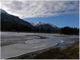
From the starting point, continue along the deteriorating road, which quickly leads to moderately steep hay fields. Cross the hay meadows on the marked cart track and follow the mostly cross-climb to the right. At first there are fine views of Julian Alps, but then the path passes into the forest and turns left. Continuing north-westwards, the path follows an old dirt track, which joins the dirt road higher up. Once on the road, take a sharp right and it climbs a small pass, after which the road branches off to the left towards the summit of Cavalar (aka Cavalarka) / Monte Cavallar, and we continue straight ahead on the road, which begins to descend gently. We descend for some time, and there are numerous warnings along the road not to leave the road, otherwise you are trespassing on private property. After a short descent, the road to Maria Schnee below Gozman / Madonna della Neve (signposted Maria im Schnee) first turns off to the left, and a few metres further on the road to Monte Coppa (1497 m) turns off to the right.
From the second crossroads, take a sharp right towards Monte Coppa (straight ahead to Ofen (triple)) and continue along the narrower road, which then climbs through the dense forest. Higher up, the road leads past abandoned buildings (buildings from the time of the Rapallo frontier) and a little further on to the statue of the Holy Mother of God. Here the road turns sharp left and then gradually turns into the initially wide cart track. At a fork in the track, a few minutes above the statue of St Mary, turn left and follow the moderately steep cart track. Further on, there are occasional views of the Julian, Carnic and Gailtaler Alps mountains, but the path mostly passes through dense forest. Just below the summit, we reach a few more buildings of the former Rapallo border, and the hitherto rather sparse signposting ends here.
We continue along the unmarked cart track, which ends quickly, and from the end of cart track we continue to the right along an indistinct ridge, which we follow in a few steps to reach the summit of Kope.

Pictures:
 1
1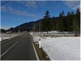 2
2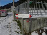 3
3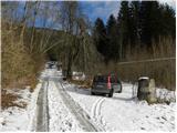 4
4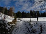 5
5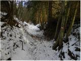 6
6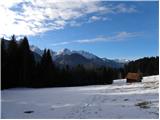 7
7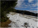 8
8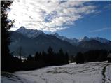 9
9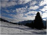 10
10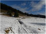 11
11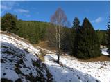 12
12 13
13 14
14 15
15 16
16 17
17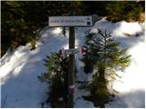 18
18 19
19 20
20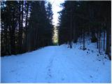 21
21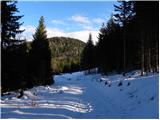 22
22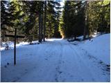 23
23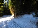 24
24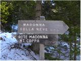 25
25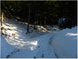 26
26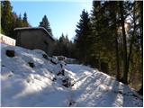 27
27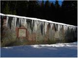 28
28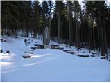 29
29 30
30 31
31 32
32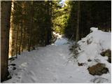 33
33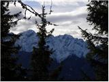 34
34 35
35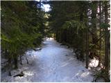 36
36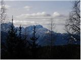 37
37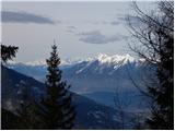 38
38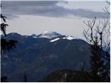 39
39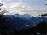 40
40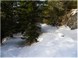 41
41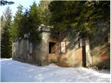 42
42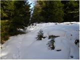 43
43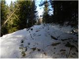 44
44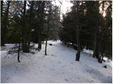 45
45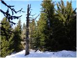 46
46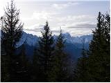 47
47
Discussion about the trail Fusine Laghi - Monte Coppa