Starting point: Gašperjev hrib (1381 m)
| Lat/Lon: | 45,591°N 14,4749°E |
| |
Time of walking: 1 h 30 min
Difficulty: easy marked way
Altitude difference: 415 m
Altitude difference po putu: 415 m
Map: Snežnik 1:50.000
Recommended equipment (summer):
Recommended equipment (winter): ice axe, crampons
Views: 18.011
 | 5 people like this post |
Access to the starting point:
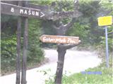
From Cerknica, drive towards Loz and on to the village Pudob, where you turn right in the direction of Snežnik and the village Kozarišče. The asphalt ends at the Snežnik castle, and we continue on the macadam road, keeping to the direction of Mašun at the crossroads. After a long drive, we reach the Leskove dolina valley a little further on and a crossroads where signs warn us of Gašperjev hill and we have to turn left. Continue for a while, where an inscription on a rock warns us to turn right and in a few minutes we are at the starting point of the route over Gašperjev hill. We park there.
Path description:
From the parking lot, turn left, where there is a steep climb. After walking for a while, you can see Snežnik. The path leads us a little up a little down, when we reach the signpost and the last climb from here in less than half an hour and we are at the top.
Pictures:
 1
1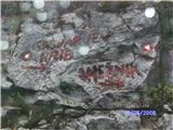 2
2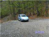 3
3 4
4 5
5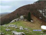 6
6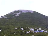 7
7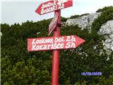 8
8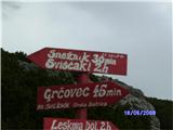 9
9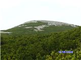 10
10 11
11 12
12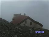 13
13 14
14 15
15 16
16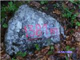 17
17
Discussion about the trail Gašperjev hrib - Snežnik
|
| LadoP25. 09. 2013 |
Trije mušketirji smo se podali peš iz Kranja na Snežnik. Bilo je nepozabno. Posebna zahvala pa gre Janji in Slavku, ki upravičeno vodita ta prelep gorski biser. Še se bomo vrnili - priporočam (hvala), Lado, Sašo, Janez
|
|
|