Gate (Belca) - Mojstrovica
Starting point: Gate (Belca) (1007 m)
| Lat/Lon: | 46,5041°N 13,9179°E |
| |
Time of walking: 2 h 20 min
Difficulty: easy unmarked way
Altitude difference: 809 m
Altitude difference po putu: 809 m
Map: Kranjska Gora 1:30.000
Recommended equipment (summer):
Recommended equipment (winter): ice axe, crampons
Views: 11.816
 | 4 people like this post |
Access to the starting point:
Due to the collapse, access to the described starting point is not possible until further notice (May 2018).
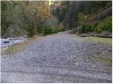
From the motorway Ljubljana - Jesenice take the exit Jesenice - West and then continue along the regional road towards Kranjska Gora. Follow the road to Belca and continue for a few 100 m, then you will see the beginning of a forest road on your right, leading into the Belka valley. Continue along the initially still wide, then narrower and sometimes quite precipitous forest road. Follow the picturesque road through the tunnel to a marked parking area by a small bridge at the confluence of the Suhego graben and Beli potok.
If you continue over the bridge, which has a green ramp behind it, you may find that it is locked when you leave.
Path description:
From the parking lot, continue along the road, which immediately crosses a bridge, followed by a green ramp. The road soon starts to climb steeply along the picturesque Suhi graben stream. Higher up, we climb over a beautiful waterfall, and the road leads us a little further to a crossroads where we continue along the road on the left (Kepa on the right).
The road continues to climb moderately, and we follow the "main" road at all junctions. A little higher up, the road leads past a forestry hut and a little higher still, past a water trough. The road, which has a few more small crossroads, continues to follow the 'main' road, which leads us around the last sharp right turn to a small crossroads at which there is usually a small cairn. Here, the path to Mojstrovica over the Bashinov Breg branches off to the left, and we continue straight on and follow the road to its end.
From the end of the road ascend to Sedlič, and continue left at the fork at the fence (Kresišče and Trupejevo poldne on the right). The path from Sedlič quickly changes to steep slopes, over which you climb to the forested ridge of Mojstrovice. When the ridge is reached, the steep path becomes steeper, and the steep path even descends slightly further. A slight ascent follows and the path quickly leads us out of the forest and onto the vast grazing slopes. Here the track continues straight ahead, and we continue slightly to the right on the easier pathless ground, which takes us 5 minutes to reach the scenic summit.
In the fog, orientation in the upper part is rather difficult.
Starting point - end of road 1:45, end of road - Mojstrovica 35 minutes.

Pictures:
 1
1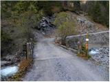 2
2 3
3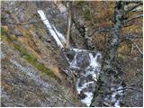 4
4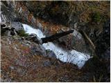 5
5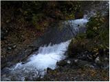 6
6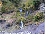 7
7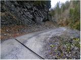 8
8 9
9 10
10 11
11 12
12 13
13 14
14 15
15 16
16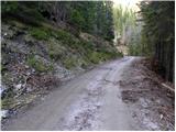 17
17 18
18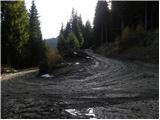 19
19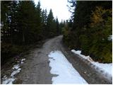 20
20 21
21 22
22 23
23 24
24115500.th.jpg) 25
25 26
26115500.th.jpg) 27
27115500.th.jpg) 28
28115500.th.jpg) 29
29 30
30115500.th.jpg) 31
31 32
32 33
33 34
34 35
35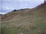 36
36177100.th.jpg) 37
37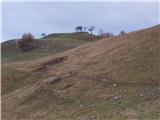 38
38177100.th.jpg) 39
39177100.th.jpg) 40
40
Discussion about the trail Gate (Belca) - Mojstrovica
|
| Lj10. 10. 2010 |
Ne bi bila rada nehvaležna, saj brez tega opisa verjetno nikoli ne bi našla Mojstrovice. Smo pa v praksi ugotovile malo drugačno orientacijo po gozdnih cestah: prvi razcep naprej od koče na planini Mikulovica je treba iti levo in na naslednjem razcepu desno in se pride na sedlo Sedlič. Me smo narobe razumele opis in smo se na razcepu nad Mikulovico držale desno, cesta se je malo spustila in nato končala. Ker ni bilo nobene ograje, kot zgoraj opisano, smo jo kar po občutku mahnile strmo v gozd ob robu hudourniške grape. Po zoprnem vzponu smo res prišle na Sedlič in ugotovile, da tja pride druga gozdna cesta. No, nazaj grede smo uporabile pravo smer in izlet je bil zelo lep, čeprav je precej hoje po cestah. Nad sedlom Sedlič si poplačan za ves trud, ko se pot nadaljuje po macesnovih gajih vse do vrha Mojstrovice. 
|
|
|
|
| strelec195428. 04. 2012 |
Včeraj na Mojstrovici lep dan snega trenutno še kar precej šele potem ko zapustite cesto. Je pa cesta iz Belce trenutno neprevozna cca 500m pred tunelom velik podor  skal,tako se pot podaljša za eno urico. 
|
|
|