Gate (Belca) - Mojstrovica (via Bašinov breg)
Starting point: Gate (Belca) (1007 m)
| Lat/Lon: | 46,5041°N 13,9179°E |
| |
Name of path: via Bašinov breg
Time of walking: 2 h 10 min
Difficulty: easy pathless terrain
Altitude difference: 809 m
Altitude difference po putu: 809 m
Map: Kranjska Gora 1:30.000
Recommended equipment (summer):
Recommended equipment (winter): ice axe, crampons
Views: 6.319
 | 1 person likes this post |
Access to the starting point:
Due to the collapse, access to the described starting point is not possible until further notice (May 2018).
From the motorway Ljubljana - Jesenice take the exit Jesenice - West and then continue along the regional road towards Kranjska Gora. Follow the road to Belca and continue for a few 100 m, then you will see the beginning of a forest road on your right, leading into the Belka valley. Continue along the initially still wide, then narrower and sometimes quite precipitous forest road. Follow the picturesque road through the tunnel to a marked parking area by a small bridge at the confluence of the Suhego Grabno and Beli potok.
If you continue over the bridge, which has a green ramp behind it, you may find that it is locked when you leave.
Path description:
From the parking lot, continue along the road, which immediately crosses a bridge, followed by a green ramp. The road soon starts to climb steeply along the picturesque Suhi graben stream. Higher up, we climb over a beautiful waterfall, and the road leads us a little further to a crossroads where we continue along the road on the left (Kepa on the right).
The road continues to climb moderately, and we follow the "main" road at all junctions. A little higher up, the road leads past a forestry hut and a little higher still, past a water trough. The road, which has a few more small crossroads, continues to follow the 'main' road, which leads us around the last sharp right turn to a small crossroads at which there is usually a small cairn. Here, the path to Mojstrovica over the Bashin bank branches off to the left. Take the aforementioned cart track, which climbs steeply through a spruce forest. A little higher up, the forest thins out to give a fine view of Kepa, and the cart track then leads to a small crossroads. Continue on the left (possibly also on the right), which descends slightly higher and turns into steep slopes. When the cart track starts to climb again, leave it and continue to the right where, after a climb of some 10 m, you enter the vast grazing areas of mountain pasture Bavhe.
The direction of ascent is clear ahead. Continue straight up the grassy slope, and the "path" leads us higher up to a small lake (watering place for animals), at which point we also step onto a well-trodden path. Cross the path (left on track Visoki vrh) and continue the ascent along the trackless path. Follow the grassy slope all the way to the top of the 1816 m high Mojstrovice.
Orientation is difficult in the fog.

Pictures:
 1
1 2
2 3
3 4
4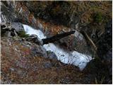 5
5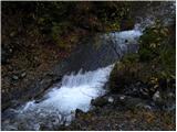 6
6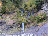 7
7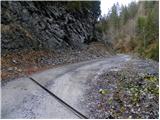 8
8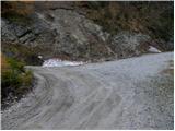 9
9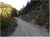 10
10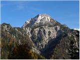 11
11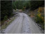 12
12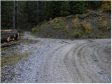 13
13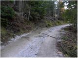 14
14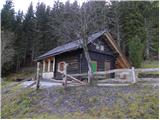 15
15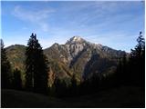 16
16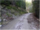 17
17 18
18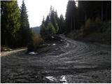 19
19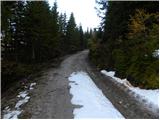 20
20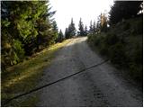 21
21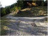 22
22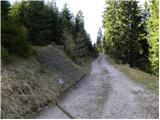 23
23 24
24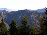 25
25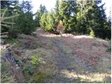 26
26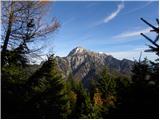 27
27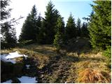 28
28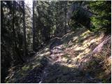 29
29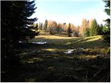 30
30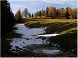 31
31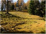 32
32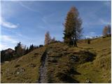 33
33 34
34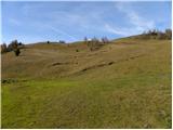 35
35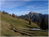 36
36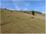 37
37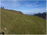 38
38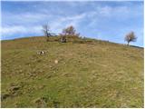 39
39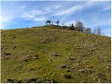 40
40 41
41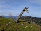 42
42 43
43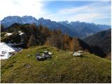 44
44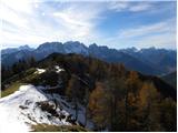 45
45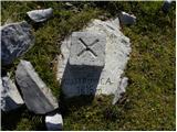 46
46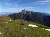 47
47
Discussion about the trail Gate (Belca) - Mojstrovica (via Bašinov breg)
|
| iztok.maltar27. 11. 2011 |
Samo en popravek na opis, pri 28 sliki je bolje iti naravnost navzgor, kjer nas kolovoz dostavi v sam SV kot planine, kjer se nadaljuje pot prek travnika.
|
|
|
|
| margu5029. 11. 2016 |
Danes prehodili to čudovito pot. Res se cesta vleče, samo si potem za trud poplačan na vrhu, s krasnimi razgledi. Danes je bil en tak dan, ki kljub mrazu, duša poje ko se ti oči sprehajajo po lepotah okrog in okrog. Z Mojstrovice smo se podali še do Visokega Kurjega vrha, ki je tudi razglednik na vse strani. Kaj naj rečem čudovit dan, osvojena dva vrhova, ki sta nam bila do danes neznana.Še kar nekaj vrhov tu gori nas še čaka.  
|
|
|