Starting point: Gobovce (381 m)
| Lat/Lon: | 46,2951°N 14,2616°E |
| |
Time of walking: 30 min
Difficulty: easy unmarked way
Altitude difference: 85 m
Altitude difference po putu: 95 m
Map: Karavanke - osrednji del 1:50.000
Recommended equipment (summer):
Recommended equipment (winter):
Views: 506
 | 2 people like this post |
Access to the starting point:
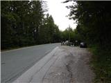
From the Podbrezje - Brezje road, drive towards Podnart and Kropa, then park in a suitable parking space on the left-hand side of the road before the start of Gobovce.
Path description:
From the starting point, continue along the main road towards Podnart, and when you reach Gobovce, turn left onto a side road. Continue on the asphalt for a few more 10 steps, then turn slightly left onto a dirt road that leads to the edge of the forest. Here the road turns right and we go straight on to a track that goes into the woods and widens into cart track. After a short climb, leave the wide cart track and continue left on the overgrown cart track, which crosses to the left and crosses a downhill cycle track. Continue through the forest where the path turns right and becomes steep. There is a steep climb for a few minutes, then the path flattens out and leads to a crossroads.
If you want to reach the viewpoint, continue right and descend in a gentle downhill to the viewpoint, and from the viewpoint return to the crossroads and continue straight on (if you have not gone to the viewpoint, go left). After a few minutes of gentle ascent, you will reach the signpost in Boštkú.
Description and pictures refer to the situation in 2019 (August).

Pictures:
 1
1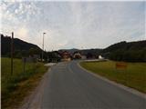 2
2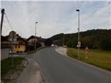 3
3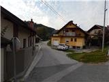 4
4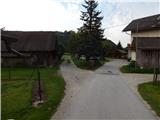 5
5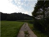 6
6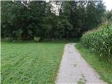 7
7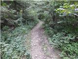 8
8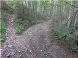 9
9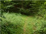 10
10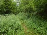 11
11 12
12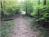 13
13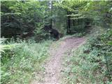 14
14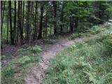 15
15 16
16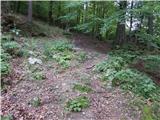 17
17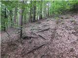 18
18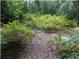 19
19 20
20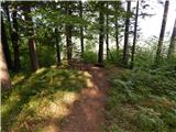 21
21 22
22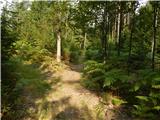 23
23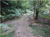 24
24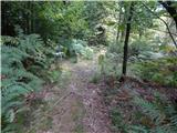 25
25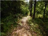 26
26 27
27
Discussion about the trail Gobovce - V Boštkú