Golice - Dom na Menini planini
Starting point: Golice (575 m)
| Lat/Lon: | 46,2194°N 14,7908°E |
| |
Time of walking: 3 h
Difficulty: easy marked way
Altitude difference: 878 m
Altitude difference po putu: 960 m
Map: Posavsko hribovje - zahodni del 1:50.000
Recommended equipment (summer):
Recommended equipment (winter):
Views: 27.280
 | 1 person likes this post |
Access to the starting point:
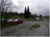
a) First drive to Kamnik, then continue along the regional road through the Tuhinj valley. Just after the village Laze v Tuhinju, you will reach a petrol station, at which the road to the left turns off towards the villages Golice, Češnjice v Tuhinju and Okrog pri Motniku. Turn left here and park a few metres further on in a suitable space next to the bus stop.
b) From the motorway Maribor - Ljubljana, take the exit Vransko and then continue driving in the direction of Kamnik. Just after the Kozjak Pass (a pass between Gorenjska and Štajersko), you will come to a petrol station, at which the road turns off to the right towards the villages Golice, Češnjice v Tuhinju and Okrog pri Motniku. Turn right here and park a few metres further on in a suitable space next to the bus stop.
Path description:
From the crossroads near the starting point, take the road in the direction of the village Golice, where you can also see the mountain sign for Dom na Menini mountain pasture. The path initially leads us along an ascending asphalt road, and then it leads us to the aforementioned village. Here, after the second house in the village, the markings direct us to the right on a slightly steeper road, which ends after a few metres behind the aforementioned house. Continue along the marked cart track, which climbs alongside a courtyard, and then continue along a well-marked path which climbs through a number of pastures. Higher up, the trail passes into lane of a forest, and we follow it at all crossroads, following the Menin mountain pasture signs (mostly just signs with no inscription). The trail occasionally crosses a forest road, but otherwise it is mostly on tracks or tractor trains. After a while the path leads us to the NOB monument, next to which there is a water trough, and we continue here to the hard left, along a still relatively well-marked path. Higher up, the path leads us to a slightly wider forest road, which we just cross and continue our ascent towards Dom na Menini planini (Tuhinj on the left, Biba mountain pasture on the right). The way ahead becomes a little more difficult to follow, but if we follow the markings carefully, there are no major problems with orientation. Higher up, we reach the Menina mountain pasture grazing areas, and we continue along a noticeably less well-marked trail in a direction that is already familiar to us. A little further on, the path climbs steeply for a short time, then almost completely lays down and leads us on over pleasant, partly grassy slopes. After a few minutes of further walking, however, we arrive at a marked crossroads, where the signs for Vivodnik direct us to the right on a steep path, which takes us within two minutes to reach the summit, in the middle of which stands a small lookout tower.
On the other side of the summit from the lookout tower, more precisely near the registration box, you will see the start of a marked trail which begins to descend to the north-east. The path then turns slightly to the left, where it crosses the lane of the forest, then lays down and leads us in a slight ascent to a marked crossroads, where we are joined on the left by a path that bypasses the top of Vivodnik. Continue straight into the lane of a forest, and then the path starts to descend more visibly towards Dom na Menini planini, which we can already see in front of us, and which we reach after a few minutes of further walking.

Pictures:
 1
1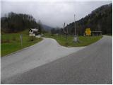 2
2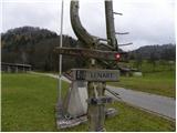 3
3 4
4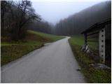 5
5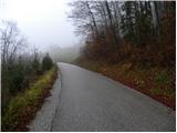 6
6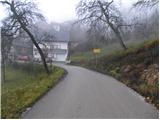 7
7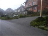 8
8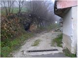 9
9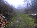 10
10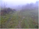 11
11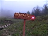 12
12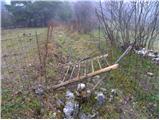 13
13 14
14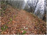 15
15 16
16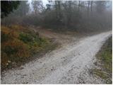 17
17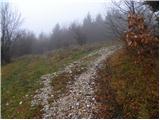 18
18 19
19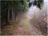 20
20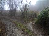 21
21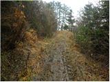 22
22 23
23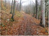 24
24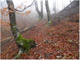 25
25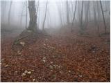 26
26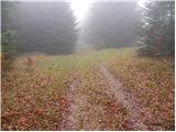 27
27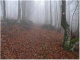 28
28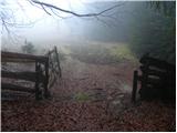 29
29 30
30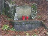 31
31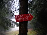 32
32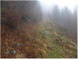 33
33 34
34 35
35 36
36 37
37 38
38 39
39 40
40 41
41 42
42 43
43 44
44 45
45 46
46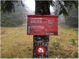 47
47 48
48 49
49 50
50 51
51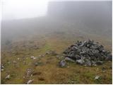 52
52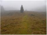 53
53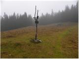 54
54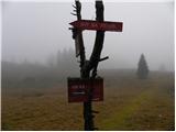 55
55 56
56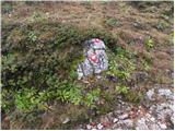 57
57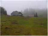 58
58 59
59
Discussion about the trail Golice - Dom na Menini planini
|
| dekopela6. 02. 2011 |
Danes smo obiskali Menino planino. Ljudi je bilo na vrhu veliko, očitno so imeli kak skupinski izlet. Pot je večinoma prekrita s snegom, zato malo bolj naporna za hojo. Vendar se vseeno prehodi v "roku"
|
|
|
|
| Ajda_Zitnik5. 03. 2012 |
Pot sem prehodila včeraj. Sneg se pojavi na planinah, spodaj ga ni oziroma ga je malo. Potrebna je previdnost, saj sneg ne nosi teže človeka in se vdira. Lahko tudi kar globoko.
|
|
|
|
| nejc21422. 01. 2022 19:18:46 |
Danes sva prehodila to pot na Menino planino. Pot je zelo slabo markirana(dotrajana, pomankljiva) in težko sledljiva. Potrebna je prenova markacij in usmerjevalnih tablic.
|
|
|
|
| jprim22. 01. 2022 20:20:35 |
Lani sva tudi midva zgrešila pot, ko sva se vračala v dolino, čeprav nisva bila prvič na tej poti. Tako sva morala po cesti kakšnih 10 kilometrov do bencinske črpalke.
Lp!
|
|
|
|
| golica23. 01. 2022 17:47:17 |
res je pot zelo slabo markirana, s kolegico sva šle čez Biba planino,na srečo je bila skupina Ljubljančank,da sva sledili.
|
|
|