Starting point: Gornja Bistra (220 m)
Time of walking: 2 h 15 min
Difficulty: easy marked way
Altitude difference: 813 m
Altitude difference po putu: 813 m
Map:
Recommended equipment (summer):
Recommended equipment (winter):
Views: 3.385
 | 2 people like this post |
Access to the starting point:
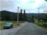
Leave the Macelj - Krapina - Zagreb motorway at the Zaprešić exit. From here we go in the direction of Donja Bistra. We will pass through Ivanec, Jablanovec and Novake, where we will turn right and arrive in the village of Poljanica. Gornja Bistra is the next village. In the village, look for the Sljeme road and park in the large parking lot in front of the Hospital for Chronic Diseases in Children.
Getting to Gornja Bistra is quite difficult in terms of orientation. You can ask the locals for the hospital, as almost everyone knows where it is.
Path description:
From the parking lot, continue south. Orientation is easy because the TV tower on Sljeme is right in front of us. At house number 60, our path turns left and crosses the stream over a small bridge with a blue fence (the markings at the turnoff are very faint). From the bridge, go straight into the forest and climb quickly past some wine cellars (this is where the markings start). From the wineries, go straight ahead at the next crossroads and enter the forest, where the markings will be more densely painted. What is specific to Medvednica is the fact that the paths are numbered - ours is number 42, which you will often see under the markings.
Once in the forest, the trail starts to climb quite steeply. The path follows the forest cart track and is overgrown in a few places. There is also a short branch to the Panjevina lookout point. When the path is finally laid, you will quickly reach the wider cart track and then the asphalt rescue and transport road of the Sljeme ski resort.
We will only be on the road for ten metres, then we will go into the forest again. The sign is on a spruce tree, but it is easy to miss. In the forest, the path will be a bit more overgrown and steep again, but then it will flatten out and return to the road.
We will now stay on the road for about a minute and reach the Oštrica hut. Here there is a crossroads of a few paths and a spring where we can have a snack, and we will continue on in the direction of Markov meadow, but only until the next crossing of the asphalt road, where we will continue up towards Činovnička livade. After walking for some time through the forest on a sloping path, we will reach the Krumpirište area, where the skiing part of Medvednica begins.
After the ski slope, take the left east side and after a few minutes of climbing back into the forest. In five minutes you will reach the Činovničko saddle, where there is a crossroads of paths coming from Zagreb and from the eastern part of the Medvednica. Route 42 ends here.
We go up west on route number 1. This crosses the ski slope and reaches the top of Sljeme at the foot of the TV tower.
What separates this path from the crowds of paths from Zagreb is the solitude and peace. It is also the most convenient route, because nowhere on Medvednica can you climb over 800 metres in a short time.

Pictures:
 1
1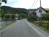 2
2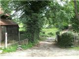 3
3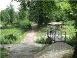 4
4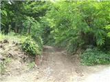 5
5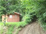 6
6 7
7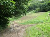 8
8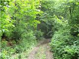 9
9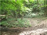 10
10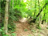 11
11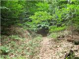 12
12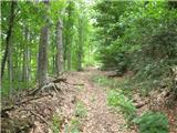 13
13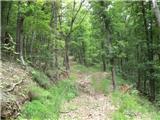 14
14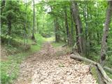 15
15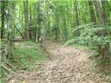 16
16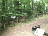 17
17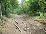 18
18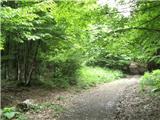 19
19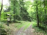 20
20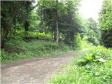 21
21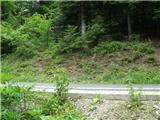 22
22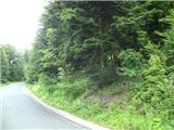 23
23 24
24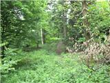 25
25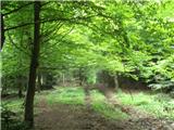 26
26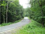 27
27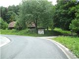 28
28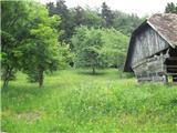 29
29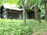 30
30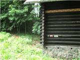 31
31 32
32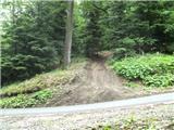 33
33 34
34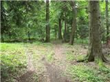 35
35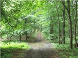 36
36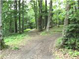 37
37 38
38 39
39 40
40 41
41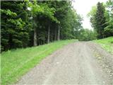 42
42 43
43 44
44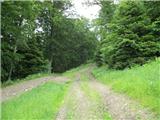 45
45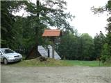 46
46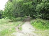 47
47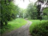 48
48 49
49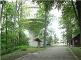 50
50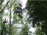 51
51
Discussion about the trail Gornja Bistra - Sljeme