Gotenica - Goteniški Snežnik
Starting point: Gotenica (550 m)
| Lat/Lon: | 45,6148°N 14,7459°E |
| |
Time of walking: 2 h 45 min
Difficulty: easy marked way
Altitude difference: 739 m
Altitude difference po putu: 800 m
Map:
Recommended equipment (summer): helmet
Recommended equipment (winter): helmet, ice axe, crampons
Views: 23.624
 | 1 person likes this post |
Access to the starting point:
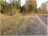
From Ljubljana, we drive towards Kočevje. Shortly after Ribnica, near Dolenja vas, we will see signs for the villages Grčarice, Gotenica and Kočevska Reka, which will direct us off the main road to the right. Follow the road to the beginning of the village Gotenica, where just 50m before the old petrol station you will see a parking lot and next to it the mountain signs for Goteniški Snežnik (the starting point is on the right side of the road, just a few metres before the sign for the beginning of Gotenice).
The starting point can also be reached from the route of Kočevska Rijeka.
Path description:
From the parking lot, the signs for Goteniški Snežnik direct you to a wide footpath that first gently descends to a torrential stream and then begins to climb. After a short climb, you will come to a wide cart track, which you follow to the right. Cart track, which runs partly through the forest and partly through small clearings, leads higher up to a crossroads, where it continues sharp left.
The ascent continues along cart track, which passes through a dense forest and turns into a relatively steep footpath only a little further on. This path gently slopes higher and starts to turn slightly to the left, where it reaches the very steep slopes of Kameni zid. Here there is a risk of slipping due to the relatively narrow path, which is often covered with foliage. The path, which offers beautiful views of the surrounding countryside, is also exposed to falling rocks on this steep part.
Higher up, the path turns right and, on a relatively steep ascent, again through the forest, leads to a small pass where we see the signs for the Kameni zid lookout point. Here, turn right onto a poorly beaten track, which, after a further two-minute climb, leads to the summit of Kameni zid.
From the Stone Wall, return to the small pass and then continue your ascent towards Goteniškje Snežnik. The route continues up the relatively steep cart track, which leads us higher up to the point where it starts to descend. After a few minutes of descent, we enter a forest road, which we then follow to the left (Medvedjek on the right). Walk along the gently sloping road, which after a while leads to a crossroads, where you continue sharp left along the "main" road. The road then starts to climb slightly more significantly and after a few minutes of further walking leads us to a small pass where we see the markings for Goteniški Snežnik, which direct us to the right on a wide footpath in the direction of Goteniškje Snežnik. The wide path, which continues through the dense forest, leads us slightly higher to the place where we leave it, as the markings direct us to a steep path, which in less than 2 minutes of further walking ascends to Goteniški Snežnik.
Gotenica - Kameni zid 1:30, Kameni zid - Goteniški Snežnik 1:15.

Pictures:
 1
1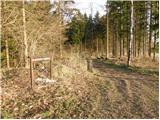 2
2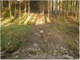 3
3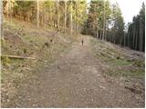 4
4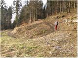 5
5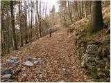 6
6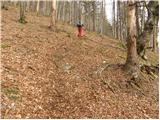 7
7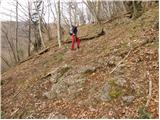 8
8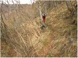 9
9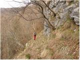 10
10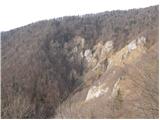 11
11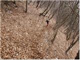 12
12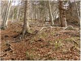 13
13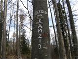 14
14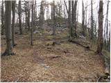 15
15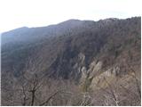 16
16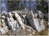 17
17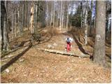 18
18 19
19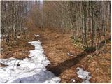 20
20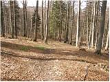 21
21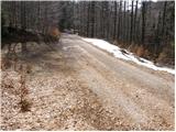 22
22 23
23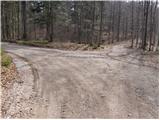 24
24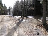 25
25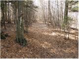 26
26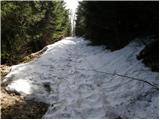 27
27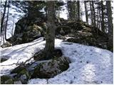 28
28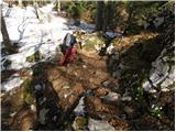 29
29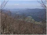 30
30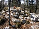 31
31
Discussion about the trail Gotenica - Goteniški Snežnik
|
| Tomaž0026. 12. 2023 05:57:33 |
Pot prehodil včeraj, na Kamenem zidu in vrhu Snežnika zelo nadležen veter, drugače brez posebnosti, zelo lepo markirana pot, vračanje po isti poti
|
|
|