Starting point: Grabšinski breg (312 m)
| Lat/Lon: | 46,51518°N 16,00845°E |
| |
Time of walking: 15 min
Difficulty: easy marked way
Altitude difference: 40 m
Altitude difference po putu: 40 m
Map:
Recommended equipment (summer):
Recommended equipment (winter):
Views: 205
 | 1 person likes this post |
Access to the starting point:
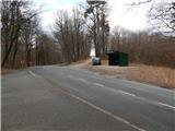
a) From the Maribor - Lendava motorway, take the Sveti Jurij ob Ščavnici exit, then follow the signs for the above-mentioned place. Follow the signs for Ptuj, then follow the main road to a small pass, where there is a bus stop at Grabšinski breg and a branch road to Gomila. Park in a suitable place next to the bus stop so as not to obstruct the bus stop and traffic.
b) Take the Ptuj, then follow the signs for Gornja Radgona and Sveti Jurij ob Ščavnici. When you reach the small pass by the Grabšinski breg bus stop, you will simultaneously reach a crossroads where the road to Gomila branches off to the right. Park in a suitable place next to the bus stop so as not to obstruct the bus stop and traffic.
Path description:
From the bus stop, cross the main road carefully and then take the side road towards Gomila. After about 100 m of gentle ascent, you will reach a small crossroads, where you turn right in the route Gomila, and just after the crossroads, a marked path joins from the left.
Continue along the road, which quickly leads out of the forest, and then the road leads us alongside the houses. A little further on, the paths from Trnovci and Rucmanci join from the left, and we quickly reach Gomila after the crossroads, where we see an 18 m high lookout tower on the left.
Description and pictures refer to January 2022.
Pictures:
 1
1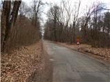 2
2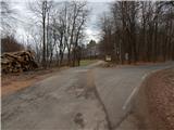 3
3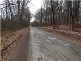 4
4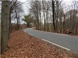 5
5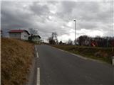 6
6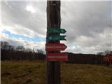 7
7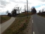 8
8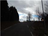 9
9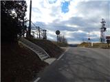 10
10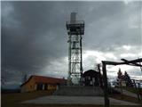 11
11 12
12
Discussion about the trail Grabšinski breg - Gomila