Starting point: Gračnica (207 m)
| Lat/Lon: | 46,10855°N 15,22167°E |
| |
Time of walking: 2 h
Difficulty: easy marked way
Altitude difference: 786 m
Altitude difference po putu: 786 m
Map: Celjska kotlina, 1:50000
Recommended equipment (summer):
Recommended equipment (winter):
Views: 3.790
 | 3 people like this post |
Access to the starting point:
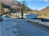
Gračnica is a scattered settlement on the Savinja River in the municipality of Laško in eastern Slovenia. The railway line from Zidanega Most to Celje passes through the settlement. The settlement is accessible by road from Rimske Toplice, located between Zidane Most and Celje. From the bus station in Rimske Toplice, cross the Savinja River to the railway station and then turn right along the road to Jurklošter. After about two kilometres of driving along the Savinja, you will come to a road turnoff and turn right to cross a bridge over the Gračnica stream. After about 300 metres you will reach a large parking lot in front of a former woodwork factory, now a private company. You can park here and walk uphill.
Path description:
Our trip follows the marked mountain trail, which is looked after by PD Rimske Toplice and runs from the railway station in Rimske Toplice to Veliki Kozje. We will skip the initial part of the mountain trail along the asphalt road along the Savinja, as our starting point is in front of the former woodwork factory in Gračnice. From the starting point, head uphill past the factory on the asphalt road, which rises steeply to the first houses, and then the asphalt road soon turns into a forest road. Follow the road following the signs and signposts all the way to a cross higher up on the saddle, where you turn sharp right onto the forest track. When we arrive out of the forest, the path leads us past the Mlinarič farm, where the first views of Malič, Šmohor and Gozdnik open up on the meadow above. Continue along cart track through the forest, almost on a layered path, and then soon take a sharp left, following the signs, up a steep incline to a narrower path. As the steepness eases, we reach a crossroads where Lisca shyly appears. Here the path to Lovrenc branches off to the left, and we continue right along the ridge towards the top of our excursion. After 15 minutes we are at the top, but it is not scenic, so we continue along the ridge, where we are soon joined from the left by the trail from Radeče. A little further on, we reach a beautiful lookout point at the top of the precipice wall, where we are greeted by a signing-in book, a stamp and views towards Kumu, Kopitnik, Mrzlica, Šmohor, Malič, the Alps, and all the way to Boč and Donačka gora in between.

Pictures:
 1
1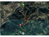 2
2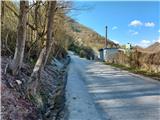 3
3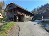 4
4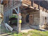 5
5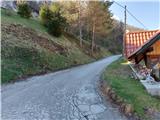 6
6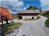 7
7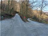 8
8 9
9 10
10 11
11 12
12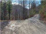 13
13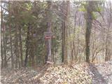 14
14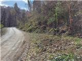 15
15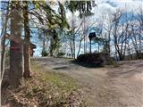 16
16 17
17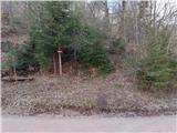 18
18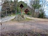 19
19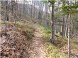 20
20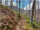 21
21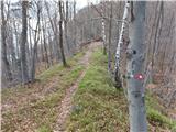 22
22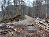 23
23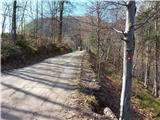 24
24 25
25 26
26 27
27 28
28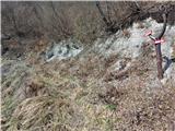 29
29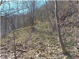 30
30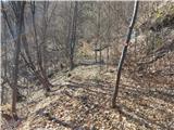 31
31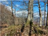 32
32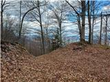 33
33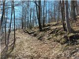 34
34 35
35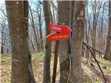 36
36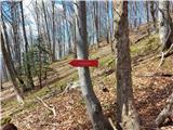 37
37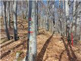 38
38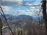 39
39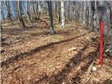 40
40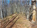 41
41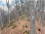 42
42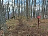 43
43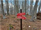 44
44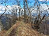 45
45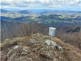 46
46 47
47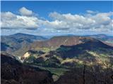 48
48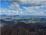 49
49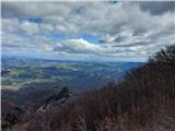 50
50
Discussion about the trail Gračnica - Veliko Kozje
|
| rinča13. 03. 2022 16:25:06 |
Danes sem prehodila omenjeno pot, ki me ni ravno navdušila. Več kot polovica jo poteka po makadamski cesti, nadaljuje pa se po dobro urejeni gozdni cesti. Le zadnja tretjina je pešpot. Primerna je bolj za kombinacijo gorskega kolesarjenja in hoje. Vtis malce popravijo lepi razgledi.
|
|
|