Gradišče - Koča pod Kremžarjevim vrhom
Starting point: Gradišče (460 m)
| Lat/Lon: | 46,5151°N 15,0974°E |
| |
Time of walking: 1 h 45 min
Difficulty: easy marked way
Altitude difference: 642 m
Altitude difference po putu: 642 m
Map: Pohorje 1:50.000
Recommended equipment (summer):
Recommended equipment (winter): crampons
Views: 12.440
 | 1 person likes this post |
Access to the starting point:
Take the Slovenj Gradec (to get here from Velenje, Dravograd or the level in Carinthia), then take the exit Legen and Kope from the roundabout by the Hofer store. Drive through the Legen settlement, then leave the road towards Kope and continue straight on the side road towards Gradišče. Continue along the valley of the Reka stream and soon turn left towards the Gradiščar homestead. There is a bit of a cross-country climb where you pass a few houses, but when the road turns sharp right, you continue straight ahead and park in a marked parking area next to a crossroads and a sign.
Path description:
From the parking lot, continue along the asphalt road, which continues eastwards (you can also start at the crossroads where you parked at the stations of the Stations of the Cross, or along the unmarked path that branches off the road right at the crossroads - all paths merge after a few minutes), and after about a minute's walk you will join the marked path from Slovenj Gradec (Slovenj Gradec). Continue along the road for a short distance, and then the signs direct you slightly to the left, onto a footpath that climbs through the forest. We are quickly joined on the left by the unmarked path mentioned above, and a little higher up, when crossing the macadam road, by the stations of the Stations of the Cross.
The ascent then continues over a grassy slope with a view, and then, after crossing a less good road, we enter the wods again. You quickly leave the forest and reach another hayfield, along the edge of which you continue to a small hamlet, where you join the road. Here, following the road for a few metres, you see a cross and then turn left onto a wide cart track, which you leave after a few metres. The signs point us right up the path, which leads through the forest to the next hamlet. Here, rejoin the road and follow it to the left. After a few minutes' walk along the road, you will come to a crossroads, where you continue straight ahead on the lower road, which leads you to the next hamlet. Just a few metres before the house, the marked path turns left and continues along cart track. Follow this path to the next hamlet, after which walk along the road for a few metres. Here the signs direct you to the footpath, which crosses the road again at a slightly higher level. The path then climbs a little more and leads to a crossroads where the path from Dravograd joins us. Here we continue to the right and after a short climb on a partly uncultivated slope we arrive at the Cottage under Kremžarjevim vrh.

Pictures:
 1
1 2
2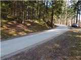 3
3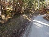 4
4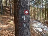 5
5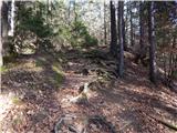 6
6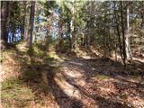 7
7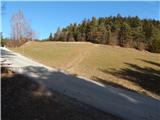 8
8 9
9 10
10 11
11 12
12 13
13 14
14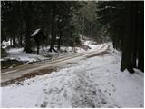 15
15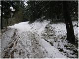 16
16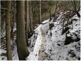 17
17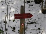 18
18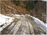 19
19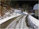 20
20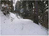 21
21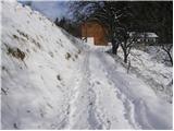 22
22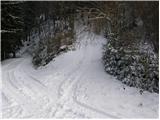 23
23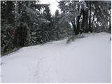 24
24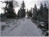 25
25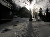 26
26
Discussion about the trail Gradišče - Koča pod Kremžarjevim vrhom
|
| Guest8. 12. 2007 |
Prijetna tura tudi v snegu. Za Slovenjgradčane je to lepa poldnevna tura, ki je nekoliko daljša kot za Ljubljančane Šmarna gora. Ker je vrh tudi pozimi dobro obiskan je pot pogosto shojena že nekaj ur po sneženju. Priporočam obisk tega konca Slovenije, se splača. Uroš 
|
|
|