Starting point: Grahovo (620 m)
| Lat/Lon: | 45,7774°N 14,421°E |
| |
Time of walking: 1 h 15 min
Difficulty: easy marked way
Altitude difference: 494 m
Altitude difference po putu: 494 m
Map: Snežnik 1:50.000
Recommended equipment (summer):
Recommended equipment (winter): crampons
Views: 43.837
 | 4 people like this post |
Access to the starting point:
From the motorway Ljubljana - Koper take the exit Unec and follow the road in the route Cerknica. From Cerknica continue on the main road towards Blocks and Loz and then in the village Grahovo, at the crossroads by the church, turn left into the village. After about 100 m of driving through, you will see a road on your left, which quickly becomes a dirt road and climbs above the village. The road, which continues to climb moderately over wide grassy slopes, leads higher into the wods, where at the crossroads by the chapel, continue left. Continue for another 50 m and then park in the roadside parking lot.
Path description:
From the parking lot, climb the rough cart track, which crosses the forest road after a few steps. Once on the road, you will see the first markings directing you to the footpath - cart track, which climbs gently at first along the fence. The path soon passes into a dense forest, where it starts to climb steeply. Higher up, the path begins to turn slightly to the left, where it also gently descends. Higher up, the forest becomes increasingly sparse and the path begins to open up to beautiful views of Snežnik, Cerknica field and the Javorniki ridge. A little further on we cross a short lane of forest, where the path from Martinjak joins us from the left, and we continue in the direction of Slivnica. The path, which continues to climb crosswise, then leads us to extensive and very scenic grassy slopes.
Here we continue to the right (straight ahead Dom na Slivnici for 3 minutes) and continue our ascent over the aforementioned grassy slope. Cross the lane of bushes at a higher level, and then, walking along the edge of this scrub for a further 10 steps, climb to the top of Slivnica.

Pictures:
 1
1 2
2 3
3 4
4 5
5 6
6 7
7 8
8 9
9 10
10 11
11 12
12 13
13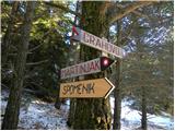 14
14 15
15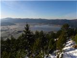 16
16 17
17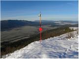 18
18 19
19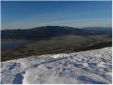 20
20 21
21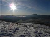 22
22 23
23 24
24 25
25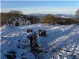 26
26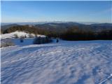 27
27
Discussion about the trail Grahovo - Slivnica
|
| noteko11. 12. 2009 |
V opisu piše: priporočena zimska oprema: cepin, dereze?!
Pa ne za to pot...
|
|
|
|
| Laščan30. 06. 2013 |
Obvestilo za moderatorja Tadeja!
Ob tej,zgoraj opisani poti ni ruševin cerkve sv.Nikolaja. So pa ruševine omenjene cerkve ob poti z vrha Slivnice proti Radleku (v opisu za izhodišče Radlek v bližini, kjer je posneta slika št.13,kjer se odcepi nemarkirana a zelo dobro sledljiva steza v dolino do izhodišča Grahovo)
Danes prehodil to krožno pot.
|
|
|
|
| Lisica3. 04. 2016 |
Tudi jaz sem včeraj naredila krožno pot. Iz Grahovega pri kapelici levo po markirani gor in po drugi - iz vrha Slivnice takoj dol čez cesto mimo ene lesene hiške ter do lovske koče in cerke sv. Miklavža nazaj na izhodišče. Dom na Slivnici je bil zaprt, baje se ravno menjuje najemnik oz. prihaja nova najemnica.
|
|
|
|
| navrhu1. 01. 2017 |
Ali kdo ve če je Dom na Slivnici odprt jutri, 2. januar 2017 in če imajo kaj toplega za pojest?
|
|
|