Grahovše - Tolsti vrh (via Plaz pod Vrati)
Starting point: Grahovše (800 m)
| Lat/Lon: | 46,3664°N 14,3518°E |
| |
Name of path: via Plaz pod Vrati
Time of walking: 3 h
Difficulty: difficult pathless terrain
Altitude difference: 915 m
Altitude difference po putu: 940 m
Map: Karavanke - osrednji del 1:50.000
Recommended equipment (summer): helmet
Recommended equipment (winter): helmet, ice axe, crampons
Views: 4.652
 | 2 people like this post |
Access to the starting point:
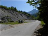
From the Ljubljana - Jesenice motorway, take the Ljubelj exit (Tržič) and then continue towards Ljubelj. Just before the petrol station in Bistrica pri Tržiču, leave the main road and turn right towards Tržiča. Continue through Tržič in the direction of Dolžanove gorge, then turn right at the end of the town in the direction of Lom pod Storžičem and Grahovš. When you arrive in Grahovše, follow the road to the nearby quarry, next to which there is a parking lot.
Path description:
From the parking lot, retrace your steps back along the road for about 100 m, then at the junction take a side road that continues south to south-west.
From the crossroads, head towards the hamlet of Hrib (Grahovše 11-17 and 27, 34), then left at the end of the hamlet onto cart track, which then climbs gently along the edge of extensive meadows. Cart track crosses lane of woodland higher up, then leads to a larger clearing, at the edge of which is a cattle feeding trough. Cart track then climbs in a semicircle across the clearing, and we follow it to the upper part of the aforementioned clearing. Here we will see a path on the right, which we will follow. Continue through the forest and ascend along a wooded track, along which you will see some old markings. A well-traced path leads us a little higher to the next clearing, where we return to cart track. Follow Cart track to the upper part of the clearing (at the fork in the middle of the bend, continue left), and there you will see a continuation of the track. A little higher up, the track becomes more distinct again and climbs steeply for a short distance. The path leads to a small clearing, where you continue to the right and then past an intermittent spring, right into the forest again. Just a little further on, we reach a small wall, which the path passes on the right and climbs steeply behind it. Follow the "marked" path towards Kriška gora from the smaller wall for only a few minutes, then continue left to a smaller ridge where you will see a kind of forcibly trodden path. Follow this path up to the dwarf pines strip, cross it quickly and you are on a long scree slope called Plaz pod Vrata.
At the scree, the track finally disappears, but the route of ascent is clear. Continue straight up the scree slope, which narrows higher up and leads to a slightly steeper ravine. Continue along the scree and then, when you reach the upper edge of the scree, continue slightly to the right on the steep path, which in a minute of further walking will take you up to the main ridge of Kriška Gora, where you will reach the marked path Koča na Kriški gori - Tolsti vrh. When, after a strenuous climb, you reach the marked path, follow it to the left, which turns into the southern slopes of Vrata, the peak we observed on our left as we climbed the scree. The path then returns to the ridge, climbing moderately throughout. Higher up, we reach the exposed and precipitous Tolsti vrh, from which a short descent follows. The way forward climbs through the forest for a while, then it starts to thin out and after a few minutes of further walking the path leads us to the scenic Tolsti vrh.

Pictures:
 1
1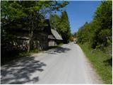 2
2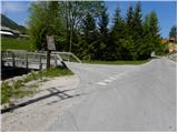 3
3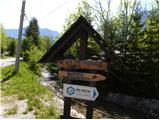 4
4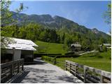 5
5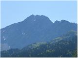 6
6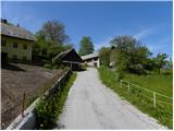 7
7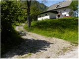 8
8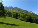 9
9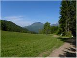 10
10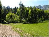 11
11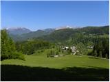 12
12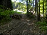 13
13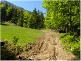 14
14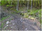 15
15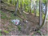 16
16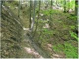 17
17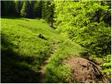 18
18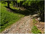 19
19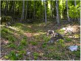 20
20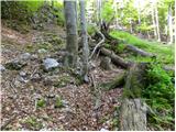 21
21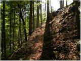 22
22 23
23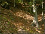 24
24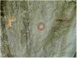 25
25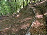 26
26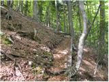 27
27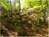 28
28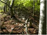 29
29 30
30 31
31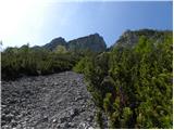 32
32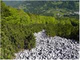 33
33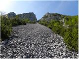 34
34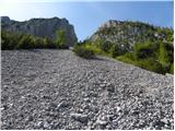 35
35 36
36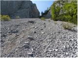 37
37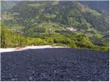 38
38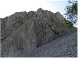 39
39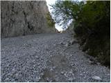 40
40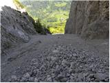 41
41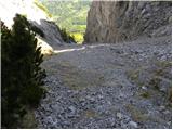 42
42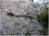 43
43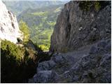 44
44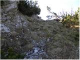 45
45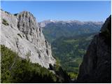 46
46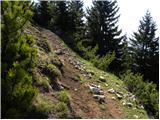 47
47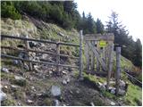 48
48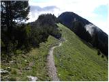 49
49 50
50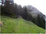 51
51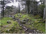 52
52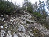 53
53 54
54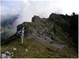 55
55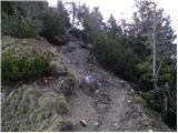 56
56 57
57 58
58 59
59 60
60 61
61
Discussion about the trail Grahovše - Tolsti vrh (via Plaz pod Vrati)
|
| marko2215. 07. 2021 09:10:05 |
Včeraj sem šel po tej poti - bolje rečeno hotel sem iti. Izgubil sem se in nato zadel ob ponovno dobro markirano pot do lovske koče pod Kriško goro. Nato pa po nekaj ovinkih prišel na greben.
|
|
|