Haimach / Imov - Aussicht Petelinz
Starting point: Haimach / Imov (575 m)
| Lat/Lon: | 46,553°N 14,3161°E |
| |
Time of walking: 15 min
Difficulty: easy marked way
Altitude difference: 29 m
Altitude difference po putu: 35 m
Map: Karavanke - osrednji del 1:50.000
Recommended equipment (summer):
Recommended equipment (winter): crampons
Views: 1.000
 | 2 people like this post |
Access to the starting point:
From the motorway Ljubljana - Jesenice take the exit Ljubelj (Tržič) and then continue in the direction of Klagenfurt / Klagenfurt. After the bridge over the river Drava / Drau, the road starts to climb steeply, and we follow the main road towards Klagenfurt for a few kilometres before turning right towards Zihpol / Maria Rain. We continue along Göltschacher Straße, which initially leads us through the village of Zihpolje / Maria Rain. This village ends quickly and the road leads to the next village, St. Urh / St. Ulrich. After this village, the road descends a little and passes through a lane of a forest. When the forest ends, you pass a few more houses and then come to a small crossroads where a slightly narrower road branches off to the right. At the crossroads our route starts, but as there are no parking spaces here we have to park in a suitable place somewhere nearby.
Path description:
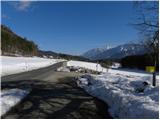
From the crossroads, continue along the initially asphalt road, which descends slightly. The tarmac ends quickly, and a fairly scenic road leads through meadows or fields. Just before the end of the road, you reach a signpost "Privat", where signs lead you right into the woods. Through the forest, we climb gently to moderately, and we follow the above-mentioned path all the way to the Petelinc lookout point, from where we get a beautiful view of the Drava River, the Borovljam and the Karavanke Mountains.
Pictures:
 1
1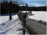 2
2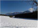 3
3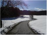 4
4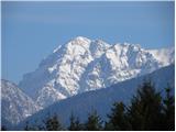 5
5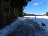 6
6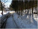 7
7 8
8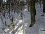 9
9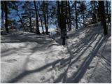 10
10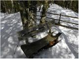 11
11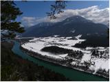 12
12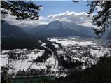 13
13
Discussion about the trail Haimach / Imov - Aussicht Petelinz