HE Ožbalt - Hlebov vrh (Rdeči Breg)
Starting point: HE Ožbalt (311 m)
| Lat/Lon: | 46,57524°N 15,40965°E |
| |
Time of walking: 2 h 50 min
Difficulty: easy marked way
Altitude difference: 602 m
Altitude difference po putu: 665 m
Map: Pohorje 1:50.000
Recommended equipment (summer):
Recommended equipment (winter): ice axe, crampons
Views: 207
 | 1 person likes this post |
Access to the starting point:
From the road Maribor - Dravograd, drive to the crossroads by the bus stop of the Ožbalt Hydroelectric Power Station, which is located near the Ožbalt Hydroelectric Power Station, between the Ožbalt settlement and the Lovren Bridge. There are no parking places for hikers at the starting point.
Path description:
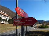
From the bus station, take the marked path in the direction of Rdeči Breg and Hunting cottage Klančnik and follow the road quickly down to the Ožbalt hydroelectric power station, where the path is blocked by a fence.
Cross the bell to cross the area of the Ožbalt Hydroelectric Power Station, and on the other side of the River Drava, go right, once again over the fence.
The path ahead leads between the railway and the River Drava, and a little further on, carefully cross the railway line and continue along the marked path that climbs above the railway. There is some cross-climbing over a steep slope, and then the slope is gently sloping. A little further on, go left and climb steeply to a small ridge where the path turns right and descends to a nearby road. Follow the road up to the left, following the markings at the crossroads. Continue along the road along Kapusov Gren for a longer distance, and when you reach the pass between Jurčičev vrh (838 m) on the left and Klančnik (877 m) on the right, bear right in the direction of Rdeči Breg and Hunting cottage Klančnik (straight ahead to Puščava and Lovrenc na Pohorju), where you ascend the cart track. At a higher level, cross a dirt road, and after this, climb cart track for a while. Higher up, cart track narrows, and signs direct you left, where you emerge from the woods, and then along the edge of the woods, within a few minutes, you reach the summit of Klančnik.
From the summit, continue slightly left and descend the grassy slope in a few minutes to the nearby Hunting Hut Klančnik.
From the hunting lodge continue in the direction of St Ignatius (left down one of the paths towards Lovrenec on Pohorje) and after a minute's further walking you will reach the road, which continues a slight to moderate descent. After about 15 minutes of descending, you will reach a small pass near the Hudej homestead, where the road becomes asphalted. Continue straight ahead and at the cross, the path past the homestead Brabar (starting point Lovrenc na Pohorju or Janževski Vrh) joins from the left.
The way ahead leads us past the Žumar homestead, and after it, from the crossroads, continue slightly to the right towards St Ignatius. Continue along the macadam road, which crosses the lane of the forest, and then, taking in the beautiful views, pass the Hleb farmhouse on the right, and quickly arrive at the Church of St Ignatius behind it.
Before the church, turn right off the road and walk to the woods, through which you continue along cart track to the summit, a few minutes away.
Ožbalt - Klančnik 2:10, Klančnik Hunting lodge Klančnik 0:05, Hunting lodge Klančnik - St. Ignatius 0:30, St. Ignatius - Hlebov vrh 0:05. .
Description and images refer to the situation in December 2021 and February 2022.

Pictures:
 1
1 2
2 3
3 4
4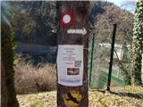 5
5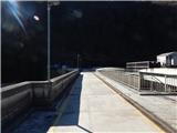 6
6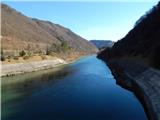 7
7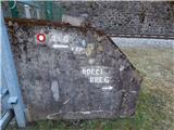 8
8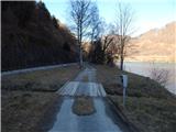 9
9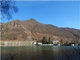 10
10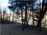 11
11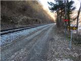 12
12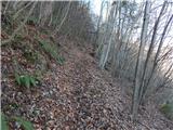 13
13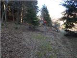 14
14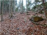 15
15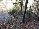 16
16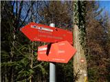 17
17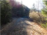 18
18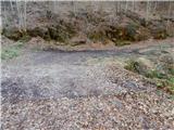 19
19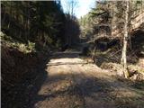 20
20 21
21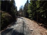 22
22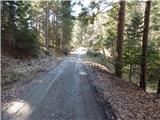 23
23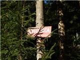 24
24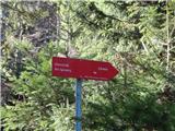 25
25 26
26 27
27 28
28 29
29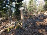 30
30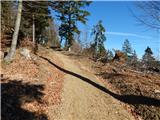 31
31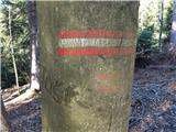 32
32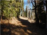 33
33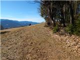 34
34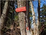 35
35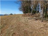 36
36 37
37 38
38 39
39 40
40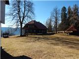 41
41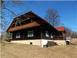 42
42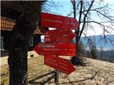 43
43 44
44 45
45 46
46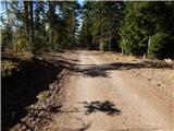 47
47 48
48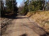 49
49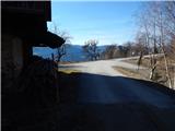 50
50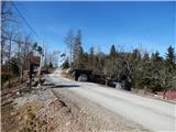 51
51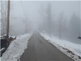 52
52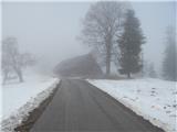 53
53 54
54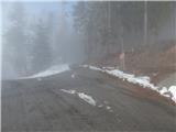 55
55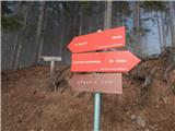 56
56 57
57 58
58 59
59 60
60 61
61 62
62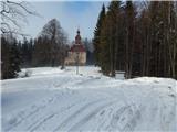 63
63 64
64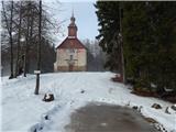 65
65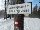 66
66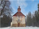 67
67 68
68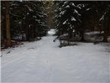 69
69 70
70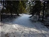 71
71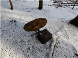 72
72
Discussion about the trail HE Ožbalt - Hlebov vrh (Rdeči Breg)