Heidi Alm - Falkert (climbing way)
Starting point: Heidi Alm (1872 m)
| Lat/Lon: | 46,8634°N 13,8313°E |
| |
Name of path: climbing way
Time of walking: 2 h
Difficulty: extremely difficult marked way
Ferata: D
Altitude difference: 436 m
Altitude difference po putu: 436 m
Map:
Recommended equipment (summer): helmet, self belay set
Recommended equipment (winter): helmet, self belay set, ice axe, crampons
Views: 6.674
 | 4 people like this post |
Access to the starting point:
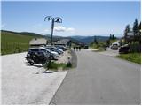
a) Drive through the Karavanke Tunnel into Austria, then continue along the Tur Autobahn, leaving at the Beljaška bypass and continuing on to Feldkirchen. Continue along Lake Ossiach / Ossiacher See to the aforementioned town. In Feldkirchen, turn left towards the Turacher Höhe pass and continue past Himmelberg, Gnesau, Mitterdorf to Wiedweg, where the road from Bad Kleinkircheim joins from the left. From this junction we continue towards the Turacher Höhe pass for a few 100 m, and then the signs for mountain pasture Heidialm and the village and lake Falkertsee direct us to the left onto the ascending road. Follow this road to its end, where you park in one of several car parks.
b) From Styria or Carinthia, first drive to Dravograd and then via Border crossing Vič to Austria, following the signs for Klagenfurt / Klagenfurt. Continue on the so-called Southern Motorway, leaving at Klagenfurt (direction Feldkirchen). Continue along the regional road to reach the aforementioned town. In Feldkirchen, turn right towards the Turacher Höhe pass and continue past Himmelberg, Gnesau and Mitterdorf to Wiedweg, where the road from Bad Kleinkircheim joins from the left. From this junction we continue towards the Turacher Höhe pass for a few 100 m, and then the signs for mountain pasture Heidialm and the village and lake Falkertsee direct us to the left onto the ascending road. Follow this road to its end, where you park in one of several car parks.
Path description:
From the parking lot, head in the direction of Heidi-Alm Park, 130 metres away. After 130 m, the path to the park branches off to the left (there is an entrance fee), and we continue straight ahead and continue along the road, which quickly leads us to the high mountain lake Falkertsee.
From the lake, which we pass on the left, the path starts to climb more moderately and continues on a road that gets worse and worse. A little higher up, you reach a marked crossroads where you continue right towards the Falkertscharte saddle (the ridge path to Rodresnock on the left). Continue climbing for some time on a less good road, then reach a small wooden hut, where it turns into a pleasant track. Continue along the high mountain valley, flanked on the left by the steep slopes of Rodresnock and on the right by the south face of Falkert, where the climbing route soon branches off.
A path leads straight down the valley towards the notch Falkertscharte, and we continue to the right on a narrow path that leads to the climbing route to Falkert. At the crossroads there is a bench and a sign with a description of the climbing route.
From the crossroads we start climbing steeply up the narrow path, which is marked with red dots and soon we are at the entrance to the climbing part of the route.
When entering the climbing part of the route, equip yourself with a self-protection kit and a helmet, and it is highly recommended to wear climbing gloves.
At the start of the climbing section, climb up the chute to the right A/B. There is a challenging traverse up the left side on fairly smooth slabs C/D. Continue on the ledge, which is partly covered with grass, and then the path climbs again a little steeper and leads to a small bench where there is also a registration box.
In the following, we first cross a steep slope covered with grass, followed by a more difficult crossing and then a climb up a steep rocky slope C/D. In the last part, the climbing route turns right and is followed by a climb up to a bridge. The bridge is made of two cables, one to walk on and the other to use as a handhold and self-support. After crossing the bridge, there is a very short but difficult descent over an overhang (difficulty D). The climbing route then ends and leads to the grassy slopes below the summit.
Continue left and in about 10 minutes climb up the grassy slope to reach the summit.

Pictures:
 1
1 2
2 3
3 4
4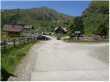 5
5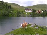 6
6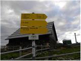 7
7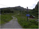 8
8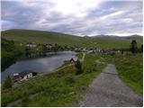 9
9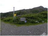 10
10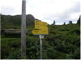 11
11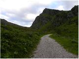 12
12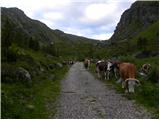 13
13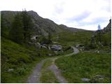 14
14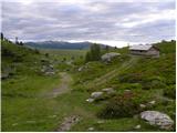 15
15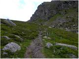 16
16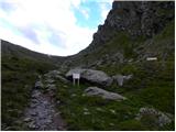 17
17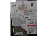 18
18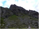 19
19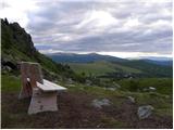 20
20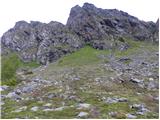 21
21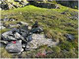 22
22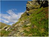 23
23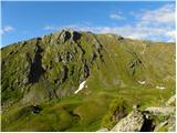 24
24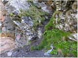 25
25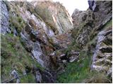 26
26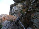 27
27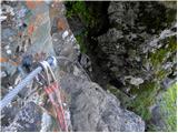 28
28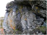 29
29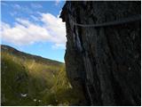 30
30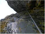 31
31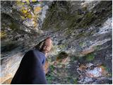 32
32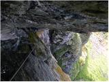 33
33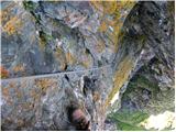 34
34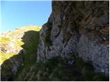 35
35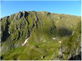 36
36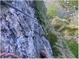 37
37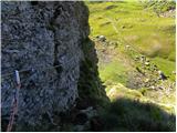 38
38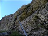 39
39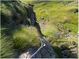 40
40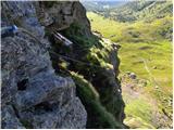 41
41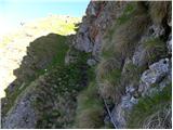 42
42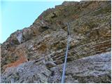 43
43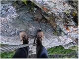 44
44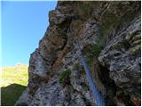 45
45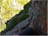 46
46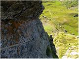 47
47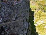 48
48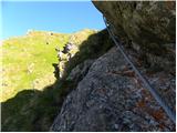 49
49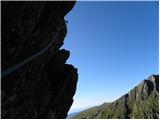 50
50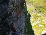 51
51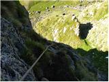 52
52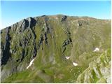 53
53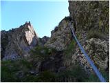 54
54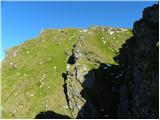 55
55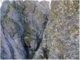 56
56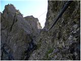 57
57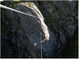 58
58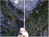 59
59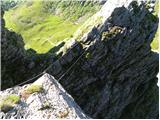 60
60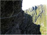 61
61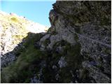 62
62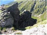 63
63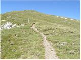 64
64 65
65 66
66 67
67 68
68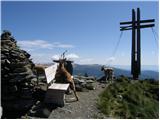 69
69
Discussion about the trail Heidi Alm - Falkert (climbing way)
|
| Želva ekspres17. 06. 2019 |
Zaradi kamnitega podora je dostop in zacetni del ferate spremenjen. Zrusila se je celotna skala, kjer je bil nekdaj zleb s tezavnostjo A/B. Deloma so spremenjeni tudi vmesni deli. Posledice podora so vidne ze pri dostopu, kjer je ozko potko med kamni in travo zamenjala pot cez kamenje. Dostop in pot je sicer enaka kot prej in dobro oznacena, le da tik pred starim vstopom zavijemo desno.
Je pa na tem hribu nastala nova ferata "Murmel-steig" s tezavnostjo B/C. Dostop je enak kot za Falken, le da na novem razcepu zavijemo levo.
|
|
|