Heidi Alm - Falkert (via Falkertscharte)
Starting point: Heidi Alm (1872 m)
| Lat/Lon: | 46,8634°N 13,8313°E |
| |
Name of path: via Falkertscharte
Time of walking: 1 h 30 min
Difficulty: easy marked way
Altitude difference: 436 m
Altitude difference po putu: 436 m
Map:
Recommended equipment (summer):
Recommended equipment (winter): ice axe, crampons
Views: 6.182
 | 2 people like this post |
Access to the starting point:
a) Drive through the Karavanke tunnel into Austria, then continue on the Tursko motorway, leaving at the Beljaška bypass and continuing on to Trg / Feldkirchen. Continue along Lake Ossiach / Ossiacher See to the aforementioned place. In Trg/Feldkirchen, turn left towards the Turacher Höhe pass and continue past Himmelberg, Gnesau, Mitterdorf to Wiedweg, where the road from Bad Kleinkircheim joins from the left. From this junction we continue towards the Turacher Höhe pass for a few 100 m, and then the signs for mountain pasture Heidialm and the village and lake Falkertsee direct us to the left onto the ascending road. Follow this road to its end, where you park in one of several car parks.
b) From Styria or Carinthia, first drive to Dravograd and then via Border crossing Vič to Austria, following the signs for Klagenfurt / Klagenfurt. Continue on the so-called Southern Motorway, leaving at Klagenfurt (direction Trg / Feldkirchen). Continue along the regional road to reach the aforementioned town. In Trg / Feldkirchen, turn right towards the Turacher Höhe pass and continue past Himmelberg, Gnesau, Mitterdorf to Wiedweg, where the road from Bad Kleinkircheim joins from the left. From this junction we continue towards the Turacher Höhe pass for a few 100 m, and then the signs for mountain pasture Heidialm and the village and lake Falkertsee direct us to the left onto the ascending road. Follow this road to its end, where you park in one of several car parks.
Path description:
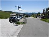
From the parking lot, head in the direction of Heidi-Alm Park, 130 metres away. After 130 m, the path to the park branches off to the left (there is an entrance fee), and we continue straight ahead and continue along the road, which quickly leads us to the high mountain lake Falkertsee.
From the lake, which we pass on the left, the path starts to climb more moderately and continues on a road that gets worse and worse. A little higher up, you reach a marked crossroads, where you continue to the right towards the saddle Falkertscharte (to the left the ridge path to Rodresnock). You continue climbing for a while on the worse road, then reach a small wooden hut, where it turns into a pleasant path. Continue along the high mountain valley, surrounded on the left by the steep slopes of Rodresnock and on the right by the southern face of Falkert, where the climbing route soon branches off.
We continue straight ahead along the sometimes slightly steeper path, which, with beautiful views, quickly leads to the aforementioned saddle.
At the saddle, where there is a marked crossroads, continue right (left Rodresnock for 20 minutes) and after some 10 steps of further walking we arrive at the next crossroads. Here again, continue to the right (left St. Oswald) and follow the gently sloping ridge, which turns semicircularly to the right. After a few minutes of easy walking, the path leads below the summit head of Falkert, where it gives way to a grazing fence and starts to climb steeply towards the summit, which is reached after 5 minutes of further walking.

Pictures:
 1
1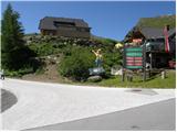 2
2 3
3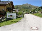 4
4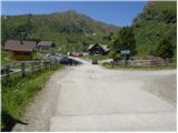 5
5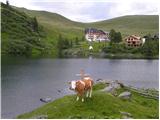 6
6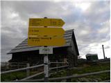 7
7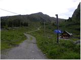 8
8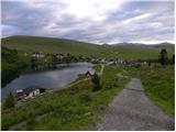 9
9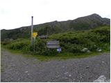 10
10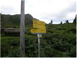 11
11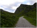 12
12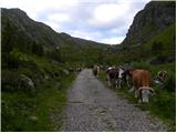 13
13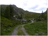 14
14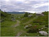 15
15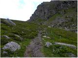 16
16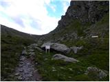 17
17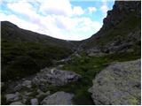 18
18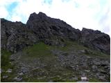 19
19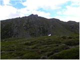 20
20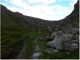 21
21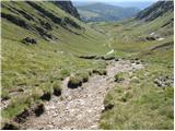 22
22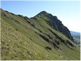 23
23 24
24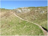 25
25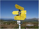 26
26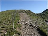 27
27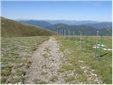 28
28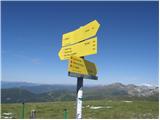 29
29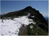 30
30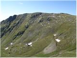 31
31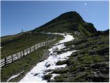 32
32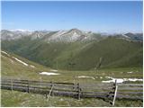 33
33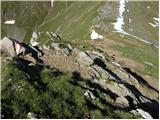 34
34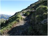 35
35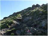 36
36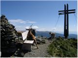 37
37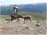 38
38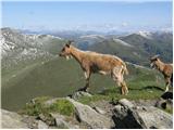 39
39
Discussion about the trail Heidi Alm - Falkert (via Falkertscharte)
|
| Damijan26. 06. 2011 |
Tretja slika od zadaj naprej, moram rečt je svetovna  Predzadnja slika, dvoboj Titanov 
|
|
|
|
| J.P.9. 06. 2019 |
Toplo priporočam pot preko sedla in ne direktno. Za nazaj je škoda, če se ne podaljša še do Rodresnocka in od tam nazaj proti jezeru.Snega je le za vzorec in nikjer nas ne omejuje, le polepša celoten razgled.Pohvala avtorju za slike. Lp
|
|
|