Starting point: Heidi Alm (1872 m)
| Lat/Lon: | 46,8634°N 13,8313°E |
| |
Time of walking: 1 h 10 min
Difficulty: easy marked way, easy unmarked way
Altitude difference: 325 m
Altitude difference po putu: 325 m
Map:
Recommended equipment (summer):
Recommended equipment (winter): ice axe, crampons
Views: 2.804
 | 2 people like this post |
Access to the starting point:
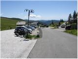
a) Drive through the Karavanke Tunnel into Austria, then continue along the Tur Autobahn, leaving at the Beljaška bypass and continuing on to Feldkirchen. Continue along Lake Ossiach / Ossiacher See to the aforementioned town. In Feldkirchen, turn left towards the Turacher Höhe pass and continue past Himmelberg, Gnesau, Mitterdorf to Wiedweg, where the road from Bad Kleinkircheim joins from the left. From this junction we continue towards the Turacher Höhe pass for a few 100 m, and then the signs for mountain pasture Heidialm and the village and lake Falkertsee direct us to the left onto the ascending road. Follow this road to its end, where you park in one of several car parks.
b) From Styria or Carinthia, first drive to Dravograd and then via Border crossing Vič to Austria, following the signs for Klagenfurt / Klagenfurt. Continue on the so-called Southern Motorway, leaving at Klagenfurt (direction Feldkirchen). Continue along the regional road to reach the aforementioned town. In Feldkirchen, turn right towards the Turacher Höhe pass and continue past Himmelberg, Gnesau and Mitterdorf to Wiedweg, where the road from Bad Kleinkircheim joins from the left. From this junction we continue towards the Turacher Höhe pass for a few 100 m, and then the signs for mountain pasture Heidialm and the village and lake Falkertsee direct us to the left onto the ascending road. Follow this road to its end, where you park in one of several car parks.
Path description:
From the parking lot, walk to the end of the road where the Hotel Heidi is located. Near the hotel, you will see yellow mountain signs directing you over a grazing fence to a grassy slope, which you can climb in a few steps to a marked crossroads.
A direct path leads up to Falkert on the left, and we continue to the right, following the markings Klomnock, Falkert 1h 15 min. The trail then crosses the slopes below the cable car and then crosses a stream in a gentle ascent. The trail then turns slightly left and follows a grassy slope up to the Hundsfeldscharte notch between the Falkert and Falkertköpfl peaks.
At the notch where there is a crossroads, continue right along the unmarked path along the fence. There is only a short climb along a grassy ridge to the summit.
Pictures:
 1
1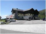 2
2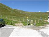 3
3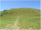 4
4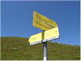 5
5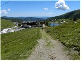 6
6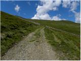 7
7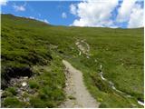 8
8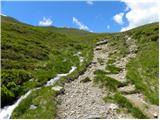 9
9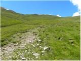 10
10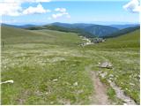 11
11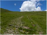 12
12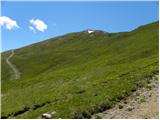 13
13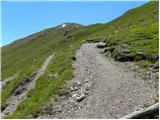 14
14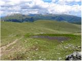 15
15 16
16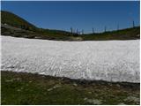 17
17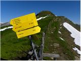 18
18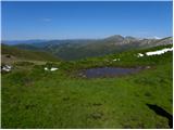 19
19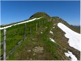 20
20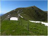 21
21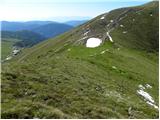 22
22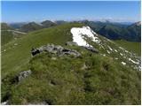 23
23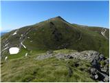 24
24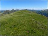 25
25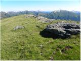 26
26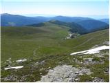 27
27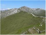 28
28
Discussion about the trail Heidi Alm - Falkertköpfl
|
| ločanka3. 10. 2023 17:41:30 |
Samo tale vrh vsekakor ne bo zadoščal  . Priporočam še vzpon na Falkert, spust na sedlo Farkertscharfe in vzpon na vrh Rodresnock ter nadaljevanje po grebenu naprej in spust do jezera Falkertsee. Na ta način naredite lepo krožno turo, ki ni predolga, lahko jo pa že prej podaljšate še do Klomnocka ali pa še kam. Vredno je! Jesenske ognjene barve so tu prav čudovite!
|
|
|