Hotel Plesnik - Strelovec (via Plesnikova planina)
Starting point: Hotel Plesnik (760 m)
| Lat/Lon: | 46,3946°N 14,6301°E |
| |
Name of path: via Plesnikova planina
Time of walking: 3 h 30 min
Difficulty: partly demanding marked way
Altitude difference: 1003 m
Altitude difference po putu: 1105 m
Map: Kamniške in Savinjske Alpe 1:50.000
Recommended equipment (summer):
Recommended equipment (winter): ice axe, crampons
Views: 6.670
 | 2 people like this post |
Access to the starting point:
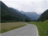
First, drive into the Logarska dolina valley (entrance fee for a private car EUR 7 (July 2016)), then drive to the crossroads where the signs for Hotel Plesnik direct you slightly left (slightly right is the Rinka waterfall). From the crossroads, drive another 100 metres and park in the parking lot near the hotel.
Path description:
From the parking lot continue along the narrow asphalt road, which takes us past the Plesnikova elm tree in a few minutes to the farmhouse Ojstrica, where we continue left in the direction of Plesnikova planina, Strelovec and Koča na Klemenči jami (the route via Plesnikova planina). A little further on we reach the Plesnik Tourist Farm, and a little further on to the end of the road at the outbuilding, where red signs direct us right to cart track, after which we climb up to the forest, enjoying the beautiful views. At a nearby fork in the tracks, continue left, then follow the signs, which lead us along a rather overgrown path to a wider macadam road. Follow the road to a right turn, and there look for the continuation of the waymarked trail. The marked path, which has recently become quite overgrown, returns to the road at a slightly higher level, and you walk along the road to a crossroads, where you continue to the right. A few 10 paces after the crossroads, the markings lead you to the left, to a short ladder, and after this you step onto an overgrown path. Higher up, cross a worse road a few more times, and the path you are walking on is completely overgrown in a few overgrown clearings or clearings and barely traceable among the bushes. Higher up, we get a few views of the peaks above the Logarska dolina valley, and we cross a few more dirt tracks, then pass a water trough and emerge from the forest at the lower part of Plesnikova planina. Once out of the forest, there is a short climb and we reach Plesnik's tent on Plesnikova mountain pasture.
From Plesnikova planina continue left towards Strelovec (right Koča na Klemenči jami), where the path initially leads to the eastern part of mountain pasture, where, on entering the forest, you will notice a path continuing crosswise through the forest. Once in the woods, cross a folded track, followed by a few steps downhill to the more distinct cart track, which is also only crossed, but the continuation of the track is a little more difficult to find. Shortly after leaving the track, a slightly overgrown path leads over a small gully, then crosses the slopes to the north for a while before turning right and approaching another gully. The descent into this ravine is quite dangerous, as the slippery path leads us down a slightly exposed slope quite steeply. On the other side of the ravine, you leave without any problems, and after a short climb you reach the next track. After cart track we climb for a short time, then the markings direct us slightly to the left on a marked path which starts to approach the next torrential ravine. The descent into this ravine is easy and is reached at a kind of "confluence". The path continues along the left-hand gully, and the ascent out of the gully is a little awkward, as the path climbs steeply out of the gully, then quickly lays down and turns left, where in a few minutes you reach a marked crossroads, where you join the path over the Rkljevo Peć (Rkljeva peč). Continue right in the direction of Strelovec along an initially moderately steep path, which soon straightens out and climbs quite steeply for a few minutes. The path quickly lays down, and then a moderate ascent leads to Icmanik's tent, after which you step onto a cart track. Following the cart track or parallel mountain path, we climb in five minutes to the saddle and the crossroads at Icmanikova planina, over which a relatively new forest road leads and from which we have a fine view.
From the crossroads at mountain pasture continue right (left Logarska peč for 5 minutes, straight along the forest road to reach the Knez farm) to an undistinguished ridge, which continues the ascent. At first the climb parallels the newer road, which is right below us, then the path becomes steeper and steeper and gradually moves away from the road. The steep path leads us higher up to a less visible crossroads, located in a belt of lush vegetation, and we continue to the left, on a noticeably less well-beaten path, which climbs the Strelovec ridge north-east of the summit (the right path crosses the slopes to the right and reaches the Strelovec ridge to the south-west of the summit, the latter path is also about 15 minutes longer). When you reach the ridge, continue to the right and climb a few steps to the summit.
Hotel Plesnik - Plesnikova planina 1:30, Plesnikova planina - Icmanikova planina 1:15, Icmanikova planina - Strelovec 45 minutes.

Pictures:
 1
1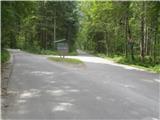 2
2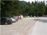 3
3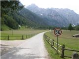 4
4 5
5 6
6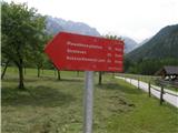 7
7 8
8 9
9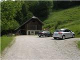 10
10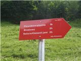 11
11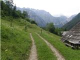 12
12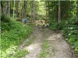 13
13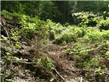 14
14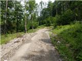 15
15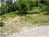 16
16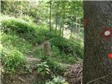 17
17 18
18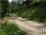 19
19 20
20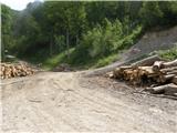 21
21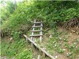 22
22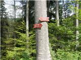 23
23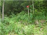 24
24 25
25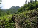 26
26 27
27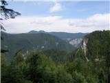 28
28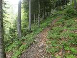 29
29 30
30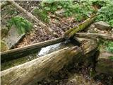 31
31 32
32 33
33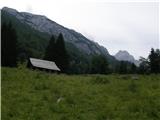 34
34 35
35 36
36 37
37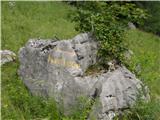 38
38 39
39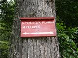 40
40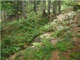 41
41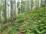 42
42 43
43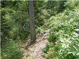 44
44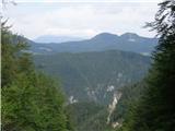 45
45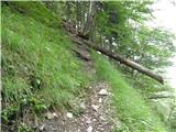 46
46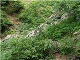 47
47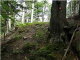 48
48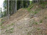 49
49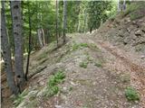 50
50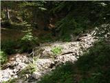 51
51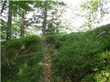 52
52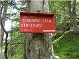 53
53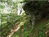 54
54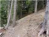 55
55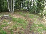 56
56 57
57 58
58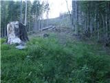 59
59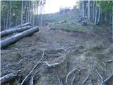 60
60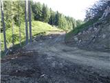 61
61 62
62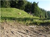 63
63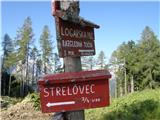 64
64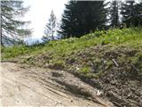 65
65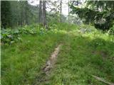 66
66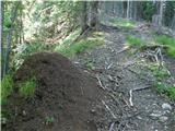 67
67 68
68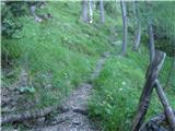 69
69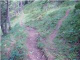 70
70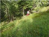 71
71 72
72 73
73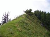 74
74 75
75 76
76 77
77
Discussion about the trail Hotel Plesnik - Strelovec (via Plesnikova planina)
|
| michael6621. 07. 2017 |
Do plesnikove pl.se pride po cesti,steza je kar vorng zaraščena.Od pl.naprej pa sem našel samo eno markacijo in skoraj nevidno stezo ,ki se izgubi ko pride na cesto.Cesta oz.dva kraka cest pa se konča v neprehoden teren.Po kaki uri iskanju steze in smeri po gozdu od pl.naprej sva obupala in se (prvič do sedaj ne da bi pršla do vrha)vrnila nazaj v Logarsko.Ta steza se ne more več imenovati markirana. 
|
|
|
|
| 3athlonetz17. 09. 2019 |
Sploh se ne čudim prejšnjemu komentarju. Moja dogodivščina pri iskanju poti je popolnoma enaka. Po prehojeni poti v obratno smer priporočam, da planinci v spodnjem delu Plesnikove planine zavijejo v gozd proti severu, poiščejo kolovoz, se spustijo do združitve z naslednjim kolovozom (kjer se zavije desno) in po tem (spet v smeri S) hodijo približno 10 (5-15)minut in so pozorni na levo, torej spodnjo stran kolovoza, kjer se pot brez planinskih oznak odcepi s kolovoza. Potem ni več težav najti poti.
|
|
|
|
| keti129. 08. 2020 |
Danes smo po omenjeni poti sestopile v Logarsko. Od Strelovca do Icmankove pl relativno dobro označena in shojena pot. Nato do Plesnikove planine težje najti nadaljevanje poti, kadarkoli prideš vmes na gozdno cesto, vendar smo ob pazljivem opazovanju našle vse odcepe. Od Plesnikove pl dol pa je po novem zelo dobro označeno in pot vidno posekana, dovolj široka, tako da ni bilo težav.
|
|
|