Starting point: Hrastovlje (165 m)
| Lat/Lon: | 45,5082°N 13,8987°E |
| |
Time of walking: 1 h 15 min
Difficulty: easy marked way
Altitude difference: 286 m
Altitude difference po putu: 300 m
Map: Slovenska Istra - Čičarija, Brkini in Kras 1:50.000
Recommended equipment (summer):
Recommended equipment (winter):
Views: 12.703
 | 2 people like this post |
Access to the starting point:
From the motorway Ljubljana - Koper take the exit Črni Kal. From Črni Kal, continue along the old road towards the sea, and we take it only as far as the next slightly larger crossroads, where we turn left towards Border crossing Sočerga. Continue towards the border crossing, but we follow the road for only a few km, as the signs for the village Hrastovlje then direct us left onto the local road. After a few km of further driving, we arrive in Hrastovlje, where we turn right at the crossroads by a small chapel towards TIC Hrastovlje. Park in the parking lot near the TIC.
Path description:
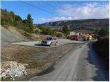
From the parking lot, continue on the asphalt road, and follow it to the first fork. Here, turn left and follow the dirt road past vineyards and fields to where the marked footpath turns sharp right. Continue on the marked path, which climbs gently at first and then steeply over a loess slope. Higher up, the path crosses the broader cart track and climbs over another ragged fleecy slope above it. Higher up, the path becomes more and more scenic, and we have fine views of Hrastovlje and the steep level of the Kraško rim. The path then climbs steeply over a small scree slope, then turns right and lays down a little. A moderate climb through a pine forest and bushes follows, then the path is further laid and in a few minutes of further walking leads us to the top of Lačná.
From the top, you can climb to the lookout tower, which offers a beautiful view of Slavnik, Učka, the Gulf of Trieste and, in good weather, all the way to Dolomites and the Julian Alps.
Pictures:
 1
1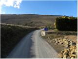 2
2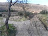 3
3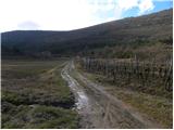 4
4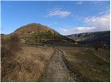 5
5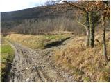 6
6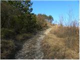 7
7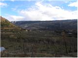 8
8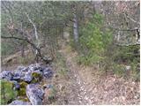 9
9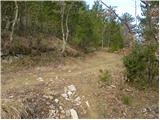 10
10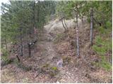 11
11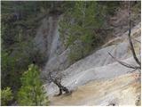 12
12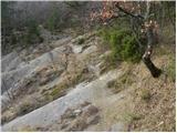 13
13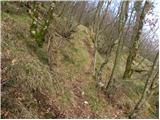 14
14 15
15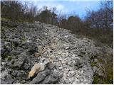 16
16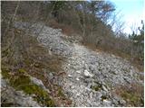 17
17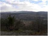 18
18 19
19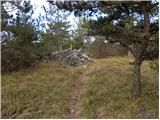 20
20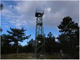 21
21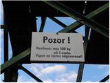 22
22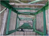 23
23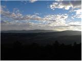 24
24
Discussion about the trail Hrastovlje - Lačna
|
| Kigeot26. 02. 2015 |
Nepričakovano strma steza za istrsko hribovje. Prijetno presenečenje. Škoda, ker je tako kratka.
|
|
|
|
| veja517. 12. 2019 |
V soboto, 14.12., sva bila gor. Popoldne, toliko da sva še ujela sonce. Na stolpu piha in razgled je lep. Nanos, Triglav, morje, Dolomiti, Učka, ostalega nisva prepoznala. Iz Hrastovelj do vrha 40 minut. Po povratku postanek v gostilni Švab. Noter pravo vzdušje.
Pozdrav. Venčeslav.
|
|
|
|
| strelec195424. 12. 2019 |
Danes na Lačni po poti iz Hrastovelj.V spodnjem delu poti potočki hitijo po cesti vse je prepito od dežja.
V nasadu oljk ob poti opazim še nekaj neobranih oljk.Spokojen mir v dolini motijo samo dolge tovorne kompozicije vlakov, ki težko premagujejo klance med Koprom in Divačo.Na vrhu pa z stolpa čudovit razgled Koper,Trst,Dolomiti Julijci...
|
|
|
|
| vyjana5. 06. 2020 |
Krátký výlet, při výstupu na Lačnou cesta místy dost strmá, částečně přes kamenité pole. Asi dvě místa mírně nebezpečná (je třeba dát pozor na menší děti), bezpečnější je tuto trasu volit směrem nahoru.
Značení dobré, buď kolečkem na stromech nebo čárkou ve směru trasy na kamenech.
Překrásné výhledy na Hrastovlje.
Rozhledna 12 m vysoká, kovová, bytelná. Výstup po žebřících, nevhodné pro osoby se závratí.
Zkombinovali jsme se sestupem do Kubedu a návrat do Hrastovlje po školní naučné stezce po úpatí Lačné. (v Kubedu i pod Lačnou třešně, v Hrastovlje později v létě fíky při cestě).
U Švába otevř. jen pá-ne.
|
|
|