Starting point: Hrpelje (480 m)
| Lat/Lon: | 45,6002°N 13,9468°E |
| |
Time of walking: 1 h 30 min
Difficulty: easy marked way
Altitude difference: 257 m
Altitude difference po putu: 257 m
Map: Slovenska Istra - Čičarija, Brkini in Kras 1:50.000
Recommended equipment (summer):
Recommended equipment (winter):
Views: 9.448
 | 1 person likes this post |
Access to the starting point:
From the Ljubljana - Koper motorway, take the Kozina exit and follow the road towards Rijeka. At Hrpelje, you will see a sign saying "Gostilna na Vasi", which will direct you to the right to D. Benčiča-B. Follow this road to the inn and turn right. At the end of the village, continue along the macadam road along which you park (follow the marked road).
Path description:
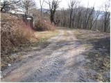
From the starting point, continue along the marked road, which quickly turns into the initially wide cart track. After a few minutes of walking, cart track splits into two parts, and we continue on the right towards Slavnik. The path along cart track surrounded by bushes starts to climb after a while and leads us higher to a nice lookout point with a nice bench.
The path then returns to the forest and continues its cross-climb up to a marked crossroads. Here you continue to the right in the direction of Mišje šoga (inscription on a rock), and the straight path leads to Slavnik. The way forward climbs at first gently through the dense forest, then turns right and starts to climb moderately along an occasionally rather poorly visible but well-marked path. This path, which climbs through increasingly sparse forest, is then followed all the way to the top of Mišje Šoga, or Hrpelje mountain.
Pictures:
 1
1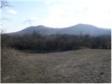 2
2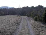 3
3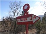 4
4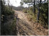 5
5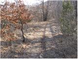 6
6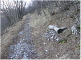 7
7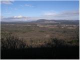 8
8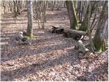 9
9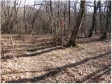 10
10 11
11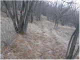 12
12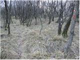 13
13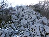 14
14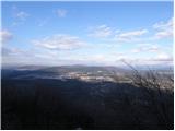 15
15 16
16
Discussion about the trail Hrpelje - Hrpeljska gora