Hruševka - Sveti Miklavž na Gori
Starting point: Hruševka (520 m)
| Lat/Lon: | 46,2335°N 14,726°E |
| |
Time of walking: 30 min
Difficulty: no data
Altitude difference: 237 m
Altitude difference po putu: 237 m
Map:
Recommended equipment (summer):
Recommended equipment (winter):
Views: 11.457
 | 1 person likes this post |
Access to the starting point:
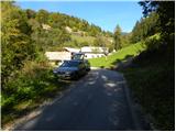
a) First drive to Kamnik, then continue along the Tuhinj valley. We then drive through Vrhpolje, Soteska, Srednja vas, Loke and Potok. At Potok, the road to the spa Snovik branches off to the left, and we follow the main road for a few 100 m or until we reach a place where the signs for Hruševka direct us left onto a narrower local road. Follow the road up to the centre of the village, where the signs for the St Nicholas Trail point you down to the right. Here the road first descends slightly and then begins to climb gently along the Podbrešek brook. After a short climb, we reach the "last" house in the village, and we park a few 10 m earlier, in a convenient place along the road.
b) From the motorway Maribor - Ljubljana, take the exit Vransko and then continue along the parallel old road towards Ljubljana. At the end of Vransko, you will come to a junction where you turn right towards Tuhinjska dolina. Continue through Motnik, Špitalič, Cirkuše, Laze, Šmartno and Buč. After the village Buč, signs for Hruševka direct you to the right onto a narrow local road. Follow this road up to the centre of the village, where the signs for the footpath to St. Nicholas direct you down to the right. Here the road first descends slightly and then begins to climb gently along the Podbrešek brook. After a short climb, we reach the "last" house in the village, and we park a few 10 m earlier, in a convenient place along the road.
Path description:
From the starting point, turn sharp right in the direction of the footpath to St Nicholas. The path first climbs through the lane of a forest, then leads to the edge of the pastures, from where you have a beautiful view of the surrounding area. The path, at first a little more overgrown, returns to the woods and then passes a log cabin, after which it crosses another lane of scrub. Beyond the scrub, the path widens to cart track, which turns sharp left and leads into a dense forest. Walk along cart track for a short distance, and then the markings direct you to the right on an increasingly steep footpath. This rather steep path, which climbs through the forest all the way, is then followed all the way to the Church of St Nicholas on Gora, from which a beautiful view opens up.
Pictures:
 1
1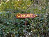 2
2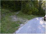 3
3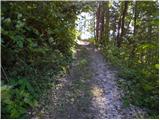 4
4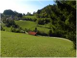 5
5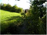 6
6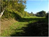 7
7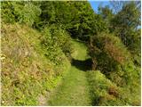 8
8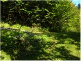 9
9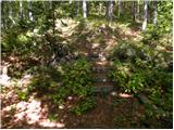 10
10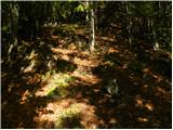 11
11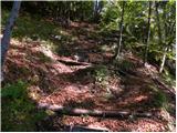 12
12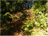 13
13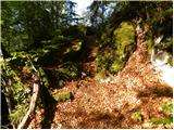 14
14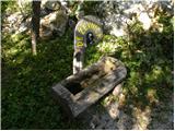 15
15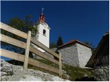 16
16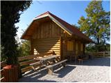 17
17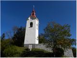 18
18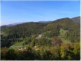 19
19
Discussion about the trail Hruševka - Sveti Miklavž na Gori
|
| grega_p27. 05. 2015 |
Lep kratek izlet, ki z zadnjo strmino poskrbi za zadihana pljuča. Na vrhu res lep skupek objektov, od mežnarije, cerkve, gostišča, vodnjaka, zidu - vse res lepo obnovljeno z naravnimi materiali.
Razgledi so orientirani predvsem proti jugu (od bližnje Limbarske gore pa vse do daljnega Snežnika) in zahodu (predgorje in daljni Julijci, zanimiv pogled na Kamniške), sever pa zapira Prevala oz. masiv Menine planine.
Priporočam na ne-vetroven dan, severnik je danes pošteno kuštral lase. Pa srečno!
|
|
|