Hruševo (Log) - Sveti Jurij (Hruševo)
Starting point: Hruševo (Log) (321 m)
| Lat/Lon: | 46,0744°N 14,3927°E |
| |
Time of walking: 20 min
Difficulty: easy unmarked way
Altitude difference: 93 m
Altitude difference po putu: 93 m
Map: Ljubljana - okolica 1:50.000
Recommended equipment (summer):
Recommended equipment (winter):
Views: 1.681
 | 2 people like this post |
Access to the starting point:
a) Leave the Primorska motorway at the Brezovica exit and continue driving in the direction of Dobrova and Polhov Gradec. Continue along the Gradaščice valley, and follow the main road towards Polhov Gradec past the Kramarjev hram inn, where the first road forks left towards Hruševo, to the second road fork left towards the settlement Hruševo, which is a few 100 m further on. At the second turning turn left, cross the Gradaščica River and then park in a suitable place near the fire station. The best place is just after the bridge, parking is not allowed in front of the fire station.
b) From the Ljubljana bypass or the Gorenjska motorway, take the Ljubljana (Podutik) exit, then continue towards the Ljubljana area and on to Dobrova. After Preval, where the road to Toško Čelo turns off to the right, the road starts to descend and we follow it to reach the main road Dobrova - Polhov Gradec. Follow this road to the right in the direction of Polhov Gradec. Continue along the Gradaščice valley, and follow the main road towards Polhov Gradec past the Kramarjev hram inn, where the first road forks left towards Hruševo, to the second road fork left towards the settlement Hruševo, which is a few 100 m further on. At the second turning turn left, cross the Gradaščica River and then park in a suitable place near the fire station. The best place is just after the bridge, parking is not allowed in front of the fire station.
c) Take the Polhov Gradec, then continue driving towards Ljubljana. Just after the village Hrastenice, you will come to a crossroads where the road to Hruševo turns off to the right. Turn right across the Gradaščice River and park just after the bridge in a suitable place near the fire station.
Path description:
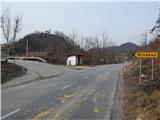
From the starting point, continue along the asphalt road, which on the left side bypasses the fire station and leads us a little further to a settlement of a few houses. Through the hamlet we continue on the main road, which slightly further on slightly descends, and then, looking towards today's destination and the surrounding hills, begins to climb moderately to steeply. Higher up, the tarmac road leads to the next houses, where we see a chapel by the roadside, and we leave the main road about 20 m before the chapel and continue sharp right, on the cart track, which leads to the church of St George.
Cart track is quite steep at first, then begins to climb moderately as you look at the surrounding hills. After a few minutes of further ascent, the summit is reached, on which the aforementioned church stands.
Description and pictures refer to the situation in 2015 (March).
Pictures:
 1
1 2
2 3
3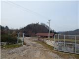 4
4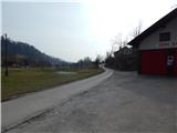 5
5 6
6 7
7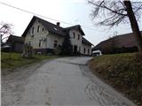 8
8 9
9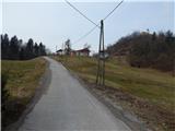 10
10 11
11 12
12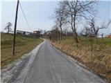 13
13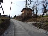 14
14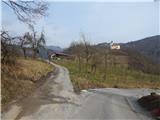 15
15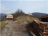 16
16 17
17 18
18 19
19 20
20 21
21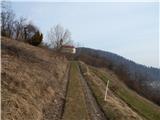 22
22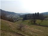 23
23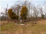 24
24 25
25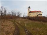 26
26 27
27
Discussion about the trail Hruševo (Log) - Sveti Jurij (Hruševo)