Hrušica - Dobršnik waterfalls (Ferata Dobršnik)
Starting point: Hrušica (610 m)
| Lat/Lon: | 46,44877°N 14,01233°E |
| |
Name of path: Ferata Dobršnik
Time of walking: 1 h 30 min
Difficulty: very difficult marked way
Ferata: B/C
Altitude difference: 190 m
Altitude difference po putu: 270 m
Map: Karavanke - osrednji del 1:50.000
Recommended equipment (summer): helmet, self belay set
Recommended equipment (winter): helmet, self belay set, ice axe, crampons
Views: 11.320
 | 4 people like this post |
Access to the starting point:
Leave the Gorenjska motorway at the Hrušica exit and then turn right at the junction towards Jesenice. Follow the road to the first roundabout and turn left towards Hrušica. The road starts to climb and at the junction at the top of the hill turn left along the priority road. After about 200 metres of further driving, you will see a parking lot on the right hand side. The parking lot is also marked with a notice board "Ferata Dobršnik car park".
Path description:
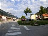
From the parking lot, continue along the main road to the next crossroads where the signpost "Ferata Dobršnik" points to the right. Continue through the village on the ascending road and follow the signs for the ferata. Higher in the village, the signpost directs us to the left where we then descend a little. At the last houses, where the asphalt ends, continue right up the cart track.
Continue climbing through the forest parallel to the Dobršnik stream and cart track becomes a track. At the crossroads, take the left-hand paths and use the signposts and some markings to help you. The trail then crosses the stream to the left and soon leads us along the stream to information boards where the protected climbing route Ferata Dobršnik begins. It will take about 20 minutes to reach the first waterfall along the trail.
The protected path first ascends crosswise and then runs along the left side of the gorge above the stream. After a slightly steeper climb along a small rock, the trail crosses the stream to the right side. The trail continues along the right side of the gorge just above the stream, and in a few places we are helped by some rocks.
The path then leads to less difficult terrain, which is not protected. At first you walk along the stream bed, but then the path recedes to the right side of the stream. The path quickly approaches the stream again and leads to the next protected part.
The path starts to climb a little steeper and again we are helped by a few staples. Here we have a nice view of the nearby waterfall from the path we are climbing up. Climb along the stream for a while, then continue right where the protected path soon ends. Then climb through the forest in short keys, which leads us to a wider path where there is also a marked crossroads.
To the right you can descend towards the starting point, to the left you can continue towards Rogarjev rovt. If you continue to the left towards Rogarjev rovt, after a short climb at Tonček's Tower (a miniature Aljaž's Tower along the way), there is also a path to the left which leads to another part of the Dobršnik gorge.
The route is of medium difficulty. It is rated B in the lower part and slightly more difficult in the upper part. As the path passes through the gorge, the rock can often be wet, so a little more caution is needed. The trail is closed from 31 October to 1 April.
The estimated climbing time is 1h 15min, but more experienced climbers will need considerably less time. The descent will take approximately 30 minutes.

Pictures:
 1
1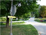 2
2 3
3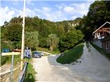 4
4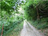 5
5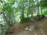 6
6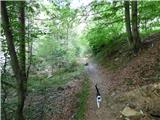 7
7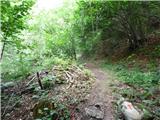 8
8 9
9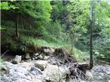 10
10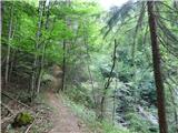 11
11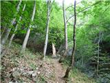 12
12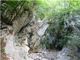 13
13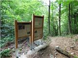 14
14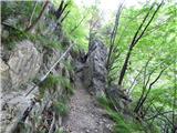 15
15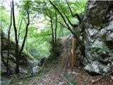 16
16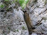 17
17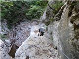 18
18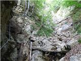 19
19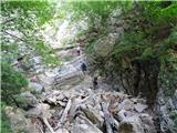 20
20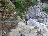 21
21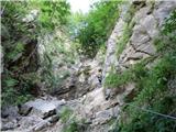 22
22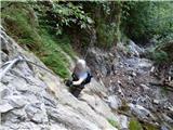 23
23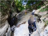 24
24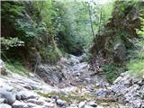 25
25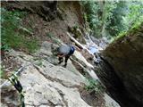 26
26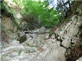 27
27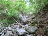 28
28 29
29 30
30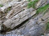 31
31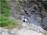 32
32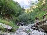 33
33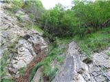 34
34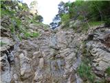 35
35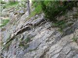 36
36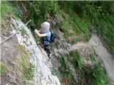 37
37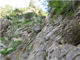 38
38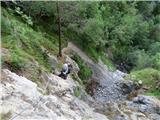 39
39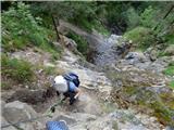 40
40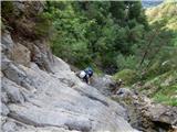 41
41 42
42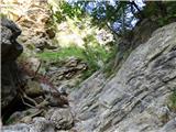 43
43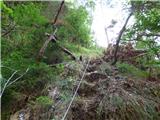 44
44 45
45 46
46 47
47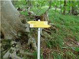 48
48 49
49 50
50 51
51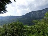 52
52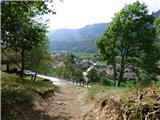 53
53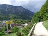 54
54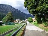 55
55
Discussion about the trail Hrušica - Dobršnik waterfalls (Ferata Dobršnik)
|
| balon30. 03. 2023 14:05:51 |
Pozdravljeni,
zanima me ali je kakšna pot/obvoz do vrha slapov primerna za psa. Tudi tukaj omenjeno brezpotje ne pride v poštev.
Za odgovor se zahvaljujem,
Alen
|
|
|
|
| Jusk30. 03. 2023 14:36:27 |
Iz Hrušice po markirani poti proti Rogarjevem rovtu,spustiš se v grapo po poti ki pride iz ferate,samo ko prideš do grape kam daleč naprej ne boš prišel,mogoče malo raziskovanja naprej gor po grapi,dol pa sigurno ne  po poti,ki gre iz Hrušice direkt v sotesko bosta s psom prišla do prvega in drugega slapa,ostali slapovi so že naprej gor kjer poteka ferata. Lp
|
|
|
|
| plaNinaPirsMajcen14. 07. 2024 20:15:33 |
Danes sem z družino preplezala sotesko. Glede na oznako zahtevnosti B na informativni tabli na začetku plezalnega dela, bi rada poudarila, da je namreč več delov tudi zahtevnosti C. Ferata zahteva kar nekaj moči v rokah. Kakšna skoba tu in tam bi lahko bila več, tako se pa moraš tam, kjer naravnega stopa ni, zanesti, da čevelj prime na gladko steno, z rokami se pa nato povlečeš navzgor. Vsekakor odsvetujem plezanje če je prejšnji dan deževalo!
Zanimiv trening, na katerega je treba biti tudi malo psihično pripravljen. Obrniti se ne moreš, izogibališč pa tudi ni. Deli ob vrhu slapov (vseh je 7) znajo biti kar zračni in izpostavljeni.
Dobršnik je za izurjene gotovo mačji kašelj. Komentar sem pa napisala za moji družini podobne planince, ki se morda spogledujejo s ferato, a ne vedo točno kaj pričakovati. Mene osebno je težavnost kar malo presenetila. Bi rekla, da je Dobršnik težja kot na primer lažja (B) ferata v Mojstrani.
|
|
|