Starting point: Ivanjkovci (221 m)
| Lat/Lon: | 46,46264°N 16,15799°E |
| |
Time of walking: 40 min
Difficulty: easy marked way, easy unmarked way
Altitude difference: 89 m
Altitude difference po putu: 100 m
Map:
Recommended equipment (summer):
Recommended equipment (winter):
Views: 178
 | 1 person likes this post |
Access to the starting point:
Take the Ormož - Ljutomer road to Ivanjkovci, where you can park in a suitable place near the post office.
Path description:
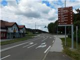
From the crossroads near the post office in Ivanjkovci, take the side road leading to Veličane. The way forward leads past a bar and a small parking lot, and at the end of the parking lot, before the road sign marking the end of the Ivanjkovci settlement, turn right onto a marked path that leads across a meadow, and after a small bridge into the woods.
After the bridge, you will reach cart track, which you follow to the left, and at the crossroads, follow it in the direction of the markers. Higher up, we reach an asphalt road, which we follow to the left (to the right we return to the main road Ormož - Ljutomer). The way ahead leads us past individual houses, and when we reach a ridge, we take a sharp right (straight on is the marked path to Jeruzalem). We follow an easy walk, and with beautiful views, we arrive at the house of Peps, and a few steps further on, at the Church of All Saints.
Description and pictures refer to the situation in September 2022.
Pictures:
 1
1 2
2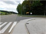 3
3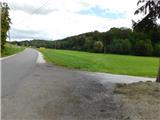 4
4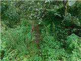 5
5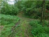 6
6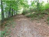 7
7 8
8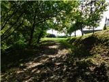 9
9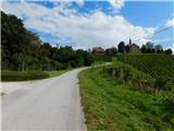 10
10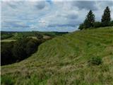 11
11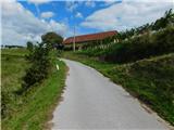 12
12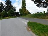 13
13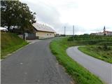 14
14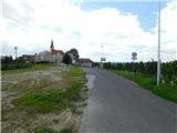 15
15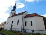 16
16
Discussion about the trail Ivanjkovci - Svetinje