Ivarčko jezero - Uršlja gora (Plešivec) (Grofovska pot)
Starting point: Ivarčko jezero (633 m)
| Lat/Lon: | 46,5066°N 14,9689°E |
| |
Name of path: Grofovska pot
Time of walking: 2 h 50 min
Difficulty: easy unmarked way
Altitude difference: 1066 m
Altitude difference po putu: 1066 m
Map: Koroška 1:50.000
Recommended equipment (summer):
Recommended equipment (winter): ice axe, crampons
Views: 22.023
 | 2 people like this post |
Access to the starting point:
a) From the Ljubljana - Maribor motorway, take the Žalec exit and then continue in the direction of Velenje, Mislinja and Slovenj Gradec. In Slovenj Gradec, turn left at the traffic lights (traffic lights at the Lidl store), then follow the road at the junctions in the direction of Raven na Koroškem and Kotelj. From Slovenj Gradec the road climbs for a few kilometres and then descends to Kotlje, where at the crossroads continue left towards lake Ivarčko (Ravne na Koroškem on the right). Follow the slightly narrower road towards the Ivarčko lake (also the Ivarčko-Ošven ski resort), near which you can park in one of several parking spaces.
b) From Koroška, first drive to Raven na Koroškem, then continue to Kotlje. From Kotlje, follow the signs for Lake Ivarčko and the Ivarčko-Ošven ski resort. Park in the parking lot by the lake, or in the parking lot by the ski resort.
Path description:
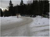
From the parking lot, first walk to the nearby roundabout, and from there continue along the forest road, where you will see signs for Uršlja gora - Železarska pot. Walk along the road for a short distance, then turn right after the small bridge onto the marked footpath that climbs along the Uršeljca stream. Higher up, the path climbs steeply for a short time, then levels off and leads to a nearby road, which you follow to the left. The road then leads us under the Jurček farm to a crossroads by the NOB monument.
At the monument, leave the marked path and continue along the road to the left, which you follow for about 500 m. After about 500 m, you will reach a small crossroads, where you will step onto the Grofovská path, which continues sharply to the right from the road.
The ascent continues along the so-called Grofovská cesta, which climbs in switchbacks over a relatively steep slope. Higher up, cross the smaller cart track, and follow the forest path to a place where you step onto the wider cart track and follow it to the right. Cart track then leads quickly to the "buffet under the fir tree" and we follow it in a moderate ascent mostly to the right. Higher up, cart track ends, and we continue on a briefly steeper path which quickly descends and joins the Železárska Trail a short distance later.
We continue past the little well and onwards the relatively gently sloping path leads us quickly to a place where the path from the Postman's Home joins us on the left. Continue to the right and, at a slightly higher altitude, you will come out on a macadam road which you follow to the right. Follow the road to the first left turn, where you will see the continuation of the mountain path by a bench. The path ahead climbs steeply at first, then crosses more and more scenic slopes in a moderate ascent. Higher up, the path curves slightly to the right and further inclines. A few 10 m higher, we leave the forest, and we follow the increasingly scenic path to the Doma na Uršlji gori.
From the house we continue along a wide path, which in about 5 minutes of further walking takes us to the top, from which a beautiful view opens up on all sides.

Pictures:
 1
1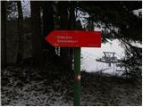 2
2 3
3 4
4 5
5 6
6 7
7 8
8 9
9 10
10 11
11 12
12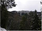 13
13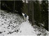 14
14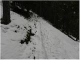 15
15 16
16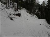 17
17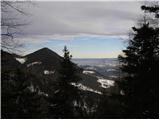 18
18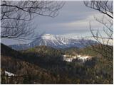 19
19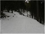 20
20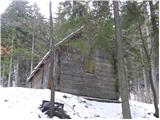 21
21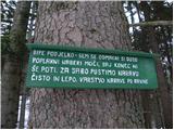 22
22 23
23 24
24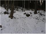 25
25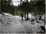 26
26 27
27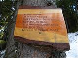 28
28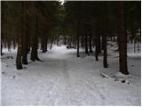 29
29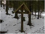 30
30 31
31 32
32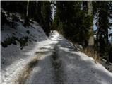 33
33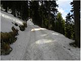 34
34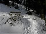 35
35 36
36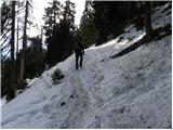 37
37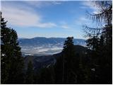 38
38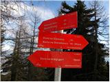 39
39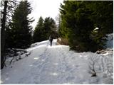 40
40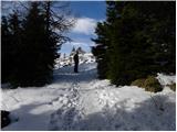 41
41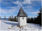 42
42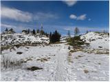 43
43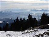 44
44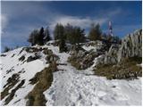 45
45 46
46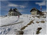 47
47 48
48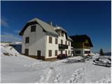 49
49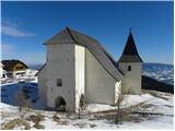 50
50 51
51 52
52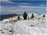 53
53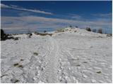 54
54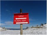 55
55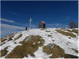 56
56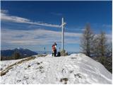 57
57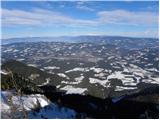 58
58
Discussion about the trail Ivarčko jezero - Uršlja gora (Plešivec) (Grofovska pot)
|
| NINICA27. 10. 2011 |
Če je bil kdo pred kratkim na Uršlji...koliko je snega, kakšne so razmere?
Hvala za vse odgovore!!
|
|
|
|
| vespuci27. 10. 2011 |
Na Peci,na višini 1900m(smučišče),katero je v bližini Uršlje,ga skoraj ni več.
|
|
|
|
| NINICA28. 10. 2011 |
Vespuci, hvala za odgovor!!!
|
|
|
|
| brankob28. 10. 2011 |
uršlja gora je brez snega danes je bilo zelo toplo plus 12stopinj
|
|
|
|
| timi_9523. 12. 2012 |
Kdo ve če je na 25.12.2012 odprta koča?
|
|
|
|
| neph24. 12. 2012 |
Najprej naj pripomnim, da ni bilo potrebe popisati vse teme o Urslji gori z istim vprasanjem. Kolikor je meni znano bo koca odprta.
|
|
|
|
| podgorc15. 01. 2013 |
Včeraj dne 14.1.2013 pregazil pot od kmeta Janeta v bližini Ivarčkega jezera po Grofovski do vrha. Na Uršlji cca. 40 cm snega.Priporočam gamaše in dereze. 
|
|
|
|
| penuša15. 02. 2013 |
Podgorc, hvala za info, nameravam jutri po tej poti na vrh.
|
|
|
|
| čara15. 10. 2018 |
Smo bili včeraj. Lepa pot, samo dve podrti drevesi, pod katerimi malo skloniš glavo in je. Najprej smo sicer šli predaleč po makadamski cesti od NOB spomenika in zavili na napačno stezo,pa potem dol in nazaj po cesti. Prava steza je tista prva, kjer je tudi znak prepovedi motoristom.
|
|
|
|
| Lipovnik14. 09. 2021 21:57:34 |
Od obeležja NOB po cesti do razpotja ni 500m, ampak 170m in prvič zlahka zgrešiš.
Drugače je pa ta pot zelo elegantna. Večinoma po gozdnih serpentinah in se izogneš večini kamenja, mokrih skal in močvirnatega dela železarske poti.
V nasprotju z opisom se pot od železarske odcepi že malo za tem ko nad Ivarčkim kreneš za mostom v gozd in za prvim malo daljšim strmim vzponom zaviješ levo. Na drevesu na levi se slabo vidi oznaka G.P., zraven je puščica v levo. Po poti se pride direktno do obelešja NOB.
|
|
|