Izlake - Zabreznik (Sv. Miklavž) (via Loke)
Starting point: Izlake (280 m)
Name of path: via Loke
Time of walking: 1 h
Difficulty: easy unmarked way
Altitude difference: 364 m
Altitude difference po putu: 365 m
Map:
Recommended equipment (summer):
Recommended equipment (winter):
Views: 2.956
 | 2 people like this post |
Access to the starting point:
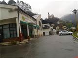
a) From the route of Ljubljana or Maribor, take the exit Trojane, Izlake, Zagorje, Trbovlje on the motorway and follow the road down the Trojane hill through the village of Orehovica to Izlake. At the first marked crossroads, turn left and park in the centre of the village at the Tuš market Ajda, opposite the blocks of flats.
b) From the route of Zagorje ob Savi, drive to Izlaki, past the Petrol petrol station and the ETI factory, past the primary school and at the next crossroads turn right and park at the Tuš market Ajda.
Path description:
At the starting point, turn left along the road, which also has mountain markings leading to Čemšeniška mountain pasture. Follow the asphalted road past the turn-off for the cemetery (starting point for Zabreznik via Zg. Izlake) straight ahead to the hamlet of Loke, where you turn right at the crossroads uphill. After about fifty metres, you will come to the crossroads again, where you turn right up again and follow the asphalted forest road all the way to the "quarry", where you should pay attention, as the path takes you into the forest in the next few metres. At the next turning from the quarry, turn right off the asphalt road into the forest, where two crossroads immediately await us, practically one after the other. Both times, keep to the left-hand path. We start to slowly climb up the canal to a small clearing where there is also a hunting observation post. Follow the trail up to a bench, which serves as a short resting place and where the trail to Zabreznik via Zgornje Izlak joins. Then follow the path straight up towards the rocks. The path climbs moderately and after a while leads to the top of the ridge. Follow the trail straight ahead, with a slight downhill slope and look out for the bivouac, which is located on the right hand side and is a little hidden from view. After a few dozen metres we reach a clearing, behind which is the Church of St Nicholas. The clearing is suitable for summer picnics and offers a fine view towards the neighbouring hills to the north.
You can also extend the route to Gamberk Castle or even to Čemšeniška mountain pasture.

Pictures:
 1
1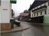 2
2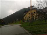 3
3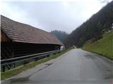 4
4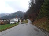 5
5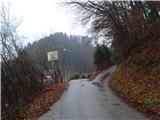 6
6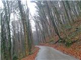 7
7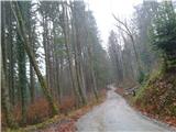 8
8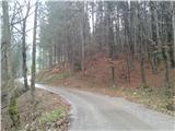 9
9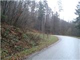 10
10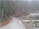 11
11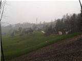 12
12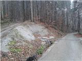 13
13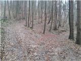 14
14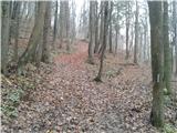 15
15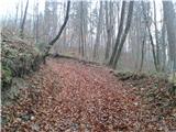 16
16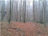 17
17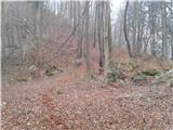 18
18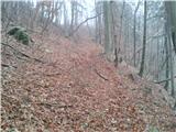 19
19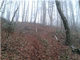 20
20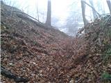 21
21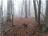 22
22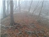 23
23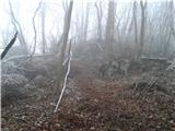 24
24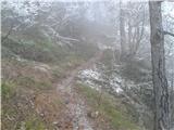 25
25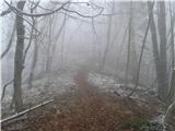 26
26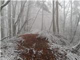 27
27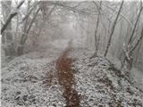 28
28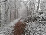 29
29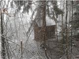 30
30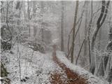 31
31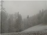 32
32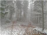 33
33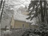 34
34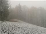 35
35
Discussion about the trail Izlake - Zabreznik (Sv. Miklavž) (via Loke)