Jakob pri Šentjurju - Resevna
Starting point: Jakob pri Šentjurju (300 m)
| Lat/Lon: | 46,1931°N 15,3964°E |
| |
Time of walking: 1 h 30 min
Difficulty: easy marked way
Altitude difference: 382 m
Altitude difference po putu: 382 m
Map:
Recommended equipment (summer):
Recommended equipment (winter):
Views: 17.812
 | 3 people like this post |
Access to the starting point:
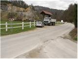
From the motorway Ljubljana - Maribor take the exit Dramlje and follow the road in the route Šentjur. In Šentjur, at the traffic lights, continue straight into the underpass under the railway line and follow the road in the direction of Šentrupert. Park in the roadside parking lot, about 1km after the signpost for the end of Šentjur (near the road to Rifnik - an archaeological site).
Path description:
From the parking lot, continue along the main road for a few ten metres, then follow the signs for Resevna and Šibenik to the right over the bridge. Follow the road, which climbs gently at first across a meadow and part of the village, then begins a moderate climb and leads us higher up to a place where the path from Šentjur joins from the right. Continue straight ahead, along the road, which turns into cart track higher up, and this leads to a fork in the path, where you continue to the right, steeply uphill along the footpath. After a short steep climb, rejoin the road, which you follow in the direction of Resevna. After a few dozen steps along the road, a marked footpath points right upwards. This climb does not take long either, and we are back on the road. Continue past the cross, along the road closed to traffic, which climbs moderately and leads us after a few minutes' walk to the mountain home.
From the home we continue along the gently sloping path, which after a few steps leads us to the top, in the middle of which is placed a 20m high lookout tower.

Pictures:
 1
1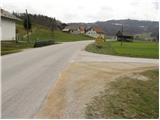 2
2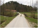 3
3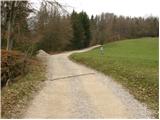 4
4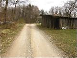 5
5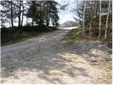 6
6 7
7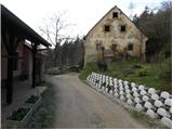 8
8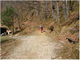 9
9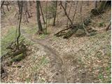 10
10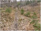 11
11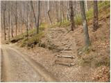 12
12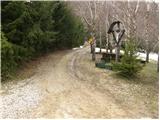 13
13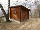 14
14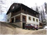 15
15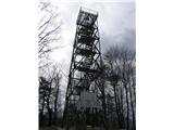 16
16
Discussion about the trail Jakob pri Šentjurju - Resevna
|
| bruny14. 04. 2013 |
Danes tudi en del poti v zaključku po opisani trasi medtem , ko je bila glavnina vzpona v sklopu daljše poti opravljena iz smeri Štor oziroma Prožinske vasi, Kompol in Krajnčice. Pot poteka delno tudi ob žuborečem potoku in po videnem ni preveč obiskana...
|
|
|
|
| Lisica16. 05. 2017 |
Jaz sem šla čez leseno brv in mimo prvih hiš ter parkirala ob cesti nad njimi. Pot od tam se mi je zdela zelo kratka in simpatična, nobenih pohodnikov,(razen del od parkirišča gor). Lepi kraji. 
|
|
|
|
| modrook1222. 04. 2018 |
danes smo šli po tej poti gor. lepa in prijetna pot.iz stolpa lep razgled.pri domu pa veliko ljudi. še se vrnemo
|
|
|