Jamnik - Sveti Primož in Felicijan (Jamnik)
Starting point: Jamnik (834 m)
| Lat/Lon: | 46,274°N 14,208°E |
| |
Time of walking: 8 min
Difficulty: easy marked way
Altitude difference: -3 m
Altitude difference po putu: 15 m
Map: Škofjeloško in Cerkljansko hribovje 1:50.000
Recommended equipment (summer):
Recommended equipment (winter):
Views: 16.375
 | 2 people like this post |
Access to the starting point:
First, drive to Kropa (to get here from the Gorenjska motorway, take the Naklo, Podnart, Brezje or Radovljica exit), then continue along the serpentine road towards Dražgoše, Železniki and Jamnik. When the road levels out a bit, it quickly leads to Jamnik, and we follow it a bit further to an information board, at which we park. If there is no space here, you can park a few 10 m down the road.
The starting point can also be reached from Železniki via Dražgoše or from Kranj via Besnica and Podblica.
Path description:
At the starting point, more precisely at the information board for Jamnik, you will see the signs for the Church of St Primož and Felicijan, which direct you to a wide path that begins to descend to the east. After a short descent, the path is laid and only a few metres further on it joins a less good road, which leads to the marked path from Kropa. Continue along the above-mentioned road, which leads us along a very scenic ridge to the aforementioned Church of St Primož and Felicijan in a few minutes.
Pictures:
 1
1 2
2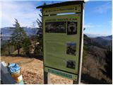 3
3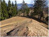 4
4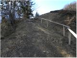 5
5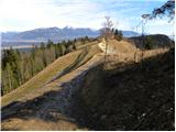 6
6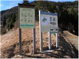 7
7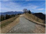 8
8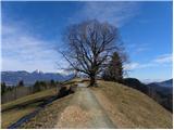 9
9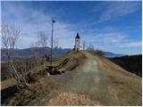 10
10 11
11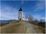 12
12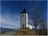 13
13 14
14 15
15
Discussion about the trail Jamnik - Sveti Primož in Felicijan (Jamnik)