Janževski Vrh (Uran) - Hlebov vrh (Rdeči Breg)
Starting point: Janževski Vrh (Uran) (435 m)
| Lat/Lon: | 46,5557°N 15,3234°E |
| |
Time of walking: 1 h 30 min
Difficulty: easy marked way
Altitude difference: 478 m
Altitude difference po putu: 500 m
Map: Pohorje - izletniška karta 1:50.000
Recommended equipment (summer):
Recommended equipment (winter): ice axe, crampons
Views: 225
 | 1 person likes this post |
Access to the starting point:
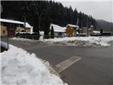
From the road Maribor - Dravograd, before the village of Brezno, turn left (right from the route of Dravograd) in the direction of Podvelka, Ribnica na Pohorju and Ribniška hut. After the bridge over the Drava River, we arrive at Podvelka, and we continue along the road in the direction of Ribnica na Pohorju. The road ahead leads to the village of Janževski Vrh, and we follow the valley of the Velka stream to the crossroads by the Uran pub and shop, where the road to Lovrenec and Lehn na Pohorju branches off to the left. Park in the small parking lot at the crossroads.
Path description:
From the crossroads, take the road to the left, where there are signs for Lovrenc na Pohorju, Ruše and Rdeči Breg and a road sign for Lehen na Pohorje (Janževski Vrh and Ribnica na Pohorje on the right). Just after the crossroads, cross the Velka stream and arrive at Lehen na Pohorje, where you continue along the stream and past the individual houses. When the valley widens a little, you reach a small crossroads, from which you turn left in the direction of Rdeči Breg, St Ignatius and the hunting lodge (straight ahead on the driveway to Lovrenc na Pohorju). Walk along the gently sloping road for only a few more 10 steps, and then the mountain signs for Rdeči Breg direct us left towards a nearby log cabin, which we pass on the left, and after it we enter the forest and continue along the cart track, where we follow the signs at a few crossroads.
At a higher level, cross a pasture fence, then continue ascending along the edge of the pasture to the Bobovnik homestead, where you reach a macadam road by the buildings, which climbs crosswise to the left. The road soon turns sharp right, then crosses the slopes to the right, and we walk along it to a point where signs direct us left onto a waymarked path that climbs steeply to another road, which we follow to the left. Walk along the asphalt road, and at a small fork continue slightly right along the upper road (the slightly left road leads to the homestead Pečovnik).
When the asphalt road turns sharp right just a little further on, take the cart track road, which starts to climb through the forest and splits after a few steps. Continue on the right marked cart track, which soon becomes quite steep. Higher up, leave the forest and pass a house to reach the Church of St Ignatius.
From the church, turn right and after some 10 steps you reach a dirt road, which you only cross and walk through to the forest, through which you continue on the cart track to the summit, a few minutes away.
Starting point - St Ignatius 1:25, St Ignatius - Hlebov vrh 0:05.
Description and pictures refer to the situation in December 2021.

Pictures:
 1
1 2
2 3
3 4
4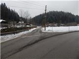 5
5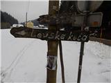 6
6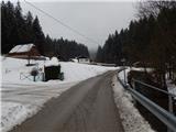 7
7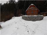 8
8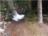 9
9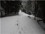 10
10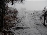 11
11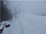 12
12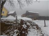 13
13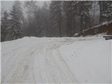 14
14 15
15 16
16 17
17 18
18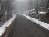 19
19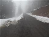 20
20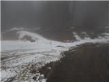 21
21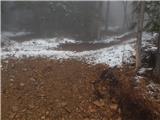 22
22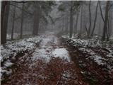 23
23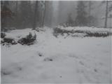 24
24 25
25 26
26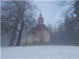 27
27 28
28 29
29 30
30 31
31 32
32 33
33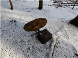 34
34
Discussion about the trail Janževski Vrh (Uran) - Hlebov vrh (Rdeči Breg)