Starting point: Jasen (422 m)
| Lat/Lon: | 45,5582°N 14,2629°E |
| |
Time of walking: 1 h
Difficulty: easy unmarked way
Altitude difference: 377 m
Altitude difference po putu: 377 m
Map: Snežnik 1:50.000
Recommended equipment (summer):
Recommended equipment (winter):
Views: 3.404
 | 1 person likes this post |
Access to the starting point:
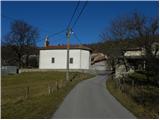
From the Ljubljana - Koper motorway, take the Postojna exit and follow the road towards Rijeka and Ilirska Bistrica. At the end of Ilirska Bistrica turn left towards the villages Jasen, Vrbovo, Vrbica, Jablanica and Trpčane. Shortly after Ilirska Bistrica we arrive in the village of Jasen, where we turn left towards the nearby church, where our route begins. There are no suitable parking places at the starting point.
Path description:
At the church there is a crossroads of several roads, and we turn slightly right onto a climbing road, which after a short climb leads to a trough, and just a few metres higher the asphalt ends. We continue on the dirt road that climbs above the village, and we follow it to the cross and a little further on to a marked crossroads, where we also see the first, albeit rather faded, signs for St. Achac.
Here we leave the macadam road and continue to the right between pasture fences. At first, we climb over a grassy slope, which is difficult to see, and then the path turns into a partly pine forest. Continue climbing through the forest, following the signs for St. Achac at the crossroads. Higher up, a waymarked trail with Črne njive joins us from the left, and we continue to the right and after about 5 minutes of further walking we reach the summit of Ahac.
Pictures:
 1
1 2
2 3
3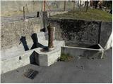 4
4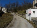 5
5 6
6 7
7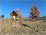 8
8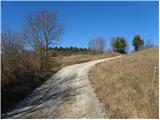 9
9 10
10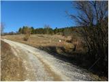 11
11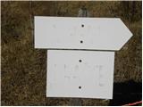 12
12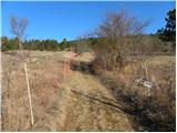 13
13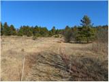 14
14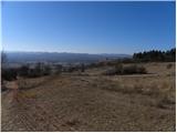 15
15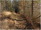 16
16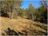 17
17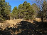 18
18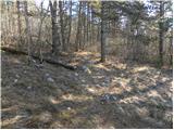 19
19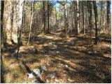 20
20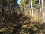 21
21 22
22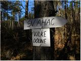 23
23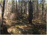 24
24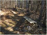 25
25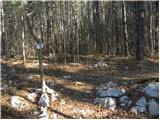 26
26 27
27 28
28 29
29 30
30 31
31 32
32 33
33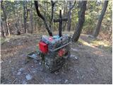 34
34
Discussion about the trail Jasen - Ahac
|
| bizgo9329. 03. 2021 |
Pohodniki najverjetneje v večini Ahac obiskujejo iz Črnih njiv oziroma štartajo iz ceste proti Sviščakom. Če pa si hočete pot malo popestriti oziroma se malce bolj spotiti vam predlagam stezo iz Jasena. Steza uradno še vedno ni markirana, vendar so jo najverjetneje domačini ali člani planinskega društva zelo dobro označili s smernimi tablami in improviziranimi markacijami, tako da jo je težko zgrešiti. Sama pot se ves čas zložno vzpenja in nima prehudih strmin, vendar te zna vseeno precej spotiti. Večjih razgledov zaradi borovega gozda ni (nekje na ¼ poti je pogled na del doline Reke ter proti Čičariji in Brkinom), je pa lepo hoditi tudi skozi dišeče borovce. Na vrhu je v skrinjici improvizirana vpisna knjiga, ni pa žiga - morda v prihodnosti 
|
|
|