Javorje - Stari vrh (via Prehodi)
Starting point: Javorje (698 m)
| Lat/Lon: | 46,1585°N 14,1774°E |
| |
Name of path: via Prehodi
Time of walking: 1 h 30 min
Difficulty: easy marked way
Altitude difference: 519 m
Altitude difference po putu: 530 m
Map: Škofjeloško in Cerkljansko hribovje 1:50.000
Recommended equipment (summer):
Recommended equipment (winter): ice axe, crampons
Views: 2.270
 | 1 person likes this post |
Access to the starting point:
Take the Poljane nad Škofjo Loko, from where you continue towards Javorje from the semaphore crossroads. When Poljane ends, the road leads through Volča, and after this settlement the road starts to climb steeply. Go higher through Dolenčice, and then you will arrive in Javorje, where you will park in the parking lot near the Javorje branch primary school.
Path description:
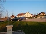
From the parking lot, in front of which you will find some basic information about the Javorje meteorite (the Javorje meteorite is the 3rd meteorite found in Slovenia), continue past the primary school, and after the school, signs point you to the left. Follow the asphalt footpath uphill, and a little higher up, return to the asphalt road and follow it to the left. Following the road, which offers beautiful views, you will quickly reach a marked crossroads, from which you continue to the right in the direction of Škofja Loka, Stari vrh and St Brikcius (Blegoš, Žetina and the Church of the Assumption on the left).
Some 10 metres further on, the road splits once more and we continue to the hard left (straight ahead Četena Ravan and Koča na Starem vrh). The way ahead climbs past a few houses, after which the asphalt ends and we continue our journey, first on the macadam road, and later on the cart track road (Četena Ravan and Koča na Starem vrh). At the crossroads, follow the yellow-green markings and the path takes you through the forest for a few minutes. When the forest ends, we reach a small hamlet, and we continue to the right in the direction of Podvrh. There is a short climb, then the wide cart track lies down and with beautiful views of Mladi and Stari vrh we reach the village of Podvrh, where we go left, and at the ecological island we go left again, this time in the direction of Mladi and Stary vrh. Continue along the road for a short distance and then, at a sign prohibiting further traffic, turn slightly right onto a footpath that climbs through the forest and along which you can see some older markings. Soon cross a dirt road, then continue on the steep cart track climbing through the forest. Higher up, at a fork in the track, continue right and start to climb cross-country towards the Prehodi Pass, which is reached after a few minutes' further walking.
At Prehodi there is a marked crossroads from which you continue slightly right towards Stari vrh (sharp left Mladi vrh, hunting trail on the right). There is a steep climb up to a lookout point where there is a bench, a table and a registration box.
From the lookout point, which offers a beautiful view of part of the Polhograjsko and Škofjeloško hribovje, the trail returns to the forest, and we continue along it to the highest point of Stary vrh.
Javorje - Prehodi 0:55, Prehodi - Stari vrh 0:35.
Description and figures refer to the situation in 2019 (April).

Pictures:
 1
1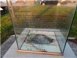 2
2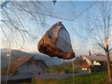 3
3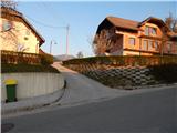 4
4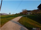 5
5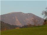 6
6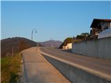 7
7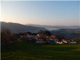 8
8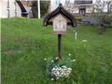 9
9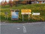 10
10 11
11 12
12 13
13 14
14 15
15 16
16 17
17 18
18 19
19 20
20 21
21 22
22 23
23 24
24 25
25 26
26 27
27 28
28 29
29 30
30 31
31 32
32 33
33 34
34 35
35 36
36 37
37 38
38 39
39 40
40 41
41 42
42 43
43 44
44 45
45 46
46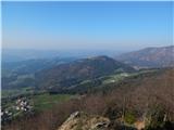 47
47 48
48 49
49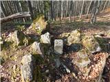 50
50
Discussion about the trail Javorje - Stari vrh (via Prehodi)